
Abramów, gmina rurale polonaise
Emplacement : Lubartów County
Partage une frontière avec : Gmina Żyrzyn
Site web : http://abramow.lubelskie.pl
Coordonnées GPS : 51.45556,22.31667
Dernière mise à jour : 17 mars 2025 à 07:56
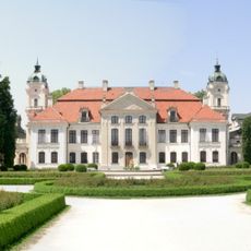
Palais Kozlowka
12 km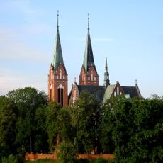
Church of the Transfiguration in Garbów
11.8 km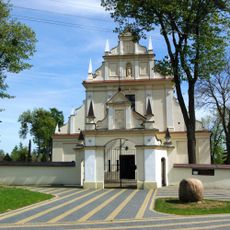
Saint Michael Archangel and the Nativity of the Virgin Mary church in Kurów
11.6 km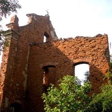
Adalbert of Prague church in Garbów
11.9 km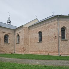
Church of the Assumption in Michów
7.6 km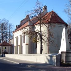
Holy Spirit church in Markuszów
9.8 km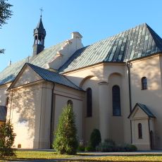
Saints Peter and Paul church in Kamionka
10 km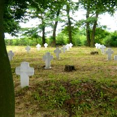
World War I Cemetery in Kurów
11 km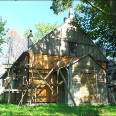
Mariavite Church in Łany
10.3 km
New Jewish Cemetery in Markuszów
10 km
Meszno
6.4 km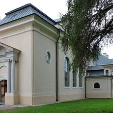
Chapel of the Kozłówka Palace
12 km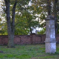
Cmentarz kościelny
10 km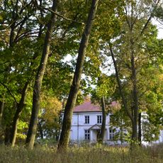
Zespół pałacowy w Samoklęskach
7.6 km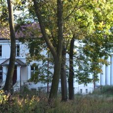
Samoklęski Palace
7.5 km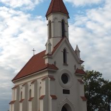
Zamoyski Mausoleum in Kamionka
9.9 km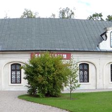
Carriage house in Kozłówka
11.9 km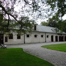
Former stable and carriage house in Kozłówka
11.8 km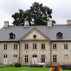
Oficyna II
11.9 km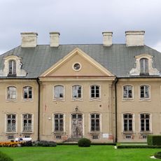
Oficyna I
12 km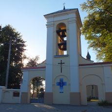
Ogrodzenie z dzwonnicą
10.1 km
Plebania w Garbowie
11.8 km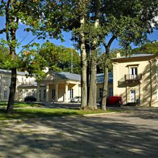
Palace in Garbów
11.4 km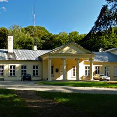
Pałac w Garbowie
11.4 km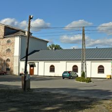
Granary in Garbów
11.3 km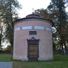
Weyssenhoff mausoleum in Kamionka
10 km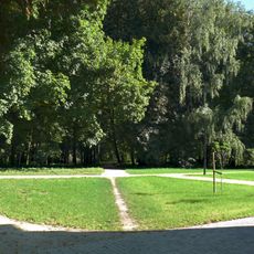
Pozostałości parku (ukształtowanie terenu i drzewostan) z historycznym układem komunikacyjnym i trzema stawami (Irena, Pod pałacem i Kępa)
11.5 km
Avis
Vous avez visité ce lieu ? Touchez les étoiles pour le noter et partager votre expérience ou vos photos avec la communauté ! Essayez maintenant ! Vous pouvez annuler à tout moment.
Trouvez des trésors cachés à chaque coin de rue !
Des petits cafés pittoresques aux points de vue planqués, fuyez la foule et dénichez les lieux qui vous ressemblent vraiment. Notre app vous facilite la vie : recherche vocale, filtres malins, itinéraires optimisés et bons plans partagés par des voyageurs du monde entier. Téléchargez vite pour vivre l'aventure en version mobile !

Une approche inédite de la découverte touristique❞
— Le Figaro
Tous les lieux qui valent la peine d'être explorés❞
— France Info
Une excursion sur mesure en quelques clics❞
— 20 Minutes