
Dobrów, village de Pologne
Emplacement : Gmina Kościelec
Coordonnées GPS : 52.14333,18.67333
Dernière mise à jour : 6 mars 2025 à 13:56
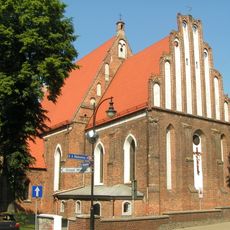
Exaltation of the Holy Cross church in Koło
6.2 km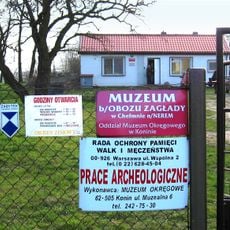
Muzeum byłego niemieckiego Obozu Zagłady Kulmhof w Chełmnie nad Nerem
6.1 km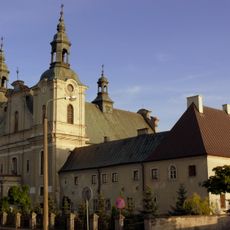
Church of the Visitation in Koło
6 km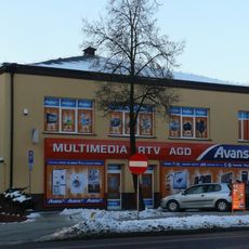
Former faience and porcelain factory in Koło
6.6 km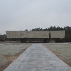
Pomnik Ofiar Faszyzmu w Lesie Rzuchowskim
3.6 km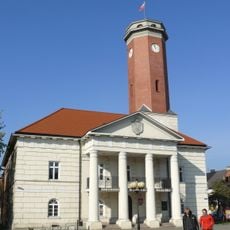
Koło Town Hall
6.2 km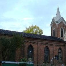
Church of the Providence of God in Koło
6.5 km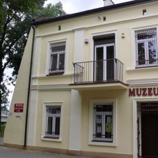
Muzeum Technik Ceramicznych w Kole
6.3 km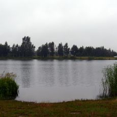
Zalew Ruszkowski
4.7 km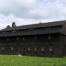
Granary in Koło
6.4 km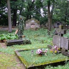
Evangelical cemetery in Koło
5.7 km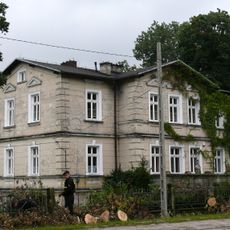
Willa Sejmik w Kole
5.9 km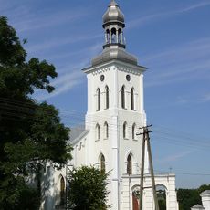
Church of the Nativity of the Virgin Mary in Chełmno nad Nerem
6.3 km
Old Market Square in Koło
6.2 km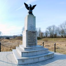
Pomnik „Bojownikom o wolność i niepodległość”
5.7 km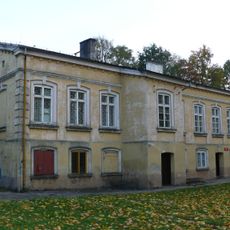
Pastorówka w Kole
6.5 km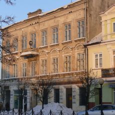
26 Stary Rynek in Koło
6.2 km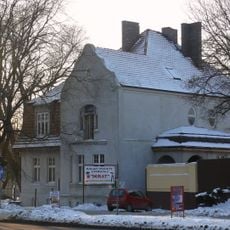
7 Sienkiewicza Street in Koło
6.6 km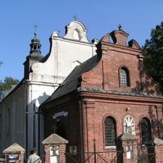
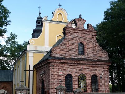
Holy Trinity church in Dobrów
170 m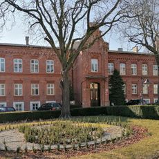
12 Mickiewicza Street in Koło
6 km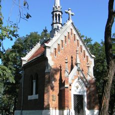
Chapel of the Transfiguration in Koło
6 km
27 Mickiewicza Street in Koło
6.5 km
2 Grodzka Street in Koło
6.2 km
Fortifications in Brudzew
6.5 km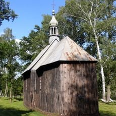
Saint Bogumilus chapel in Dobrów
571 m
Zespół pałacowy (cz. obozu zagłady z II wojny światowej) w Chełmnie nad Nerem
6.1 km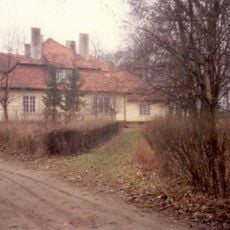
Dwór, Kolska 1 w Brudzewie
6.7 km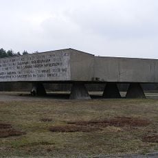
Obóz zagłady (Lasy Rzuchowskie)
3.6 kmAvis
Vous avez visité ce lieu ? Touchez les étoiles pour le noter et partager votre expérience ou vos photos avec la communauté ! Essayez maintenant ! Vous pouvez annuler à tout moment.
Trouvez des trésors cachés à chaque coin de rue !
Des petits cafés pittoresques aux points de vue planqués, fuyez la foule et dénichez les lieux qui vous ressemblent vraiment. Notre app vous facilite la vie : recherche vocale, filtres malins, itinéraires optimisés et bons plans partagés par des voyageurs du monde entier. Téléchargez vite pour vivre l'aventure en version mobile !

Une approche inédite de la découverte touristique❞
— Le Figaro
Tous les lieux qui valent la peine d'être explorés❞
— France Info
Une excursion sur mesure en quelques clics❞
— 20 Minutes