
Medieval farmstead at Buckham Hill, immediately north and south east of Princes
Medieval farmstead at Buckham Hill, immediately north and south east of Princes, établissement humain au Royaume-Uni
Emplacement : Isfield
Coordonnées GPS : 50.96580,0.06752
Dernière mise à jour : 2 avril 2025 à 22:21
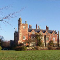
Horsted Place
2.6 km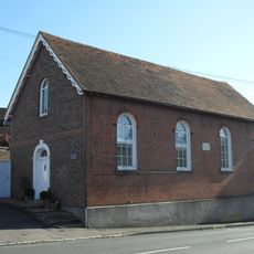
The Baptist Church
2.6 km
Copping Hall
2.1 km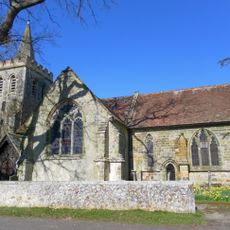
The Parish Church of St Margaret, Isfield
2.6 km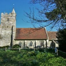
The Parish Church of St Michael and All Angels
2.8 km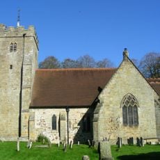
The Parish Church of St Bartholomew
3.7 km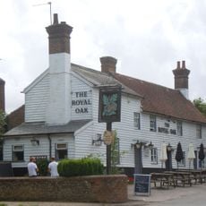
The Royal Oak Inn
3.4 km
The Parish Church of the Holy Cross
2.1 km
The Parish Church of St Mary
3.1 km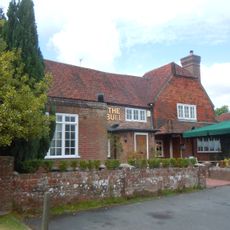
The Bull Inn
3.5 km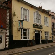
The Maiden's Head Hotel
2.2 km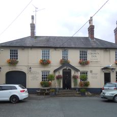
The Crown Hotel
3.4 km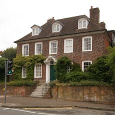
Hooke Hall
2.4 km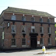
Chequers Hotel
3.8 km
Barn And Oasthouse To East Of Vuggles Farmhouse
2 km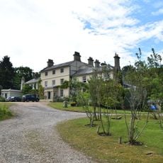
Buckham Hill House
505 m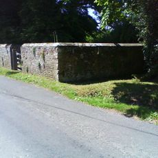
Isfield pound
2.3 km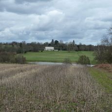
Newick Park
3.3 km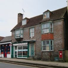
224 And 226, High Street
2.3 km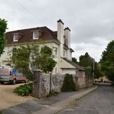
Newick Lodge
3.2 km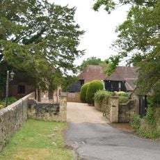
The Barn To The South West Of The Former Stables Of The Old Rectory
3.2 km
Bradness
3.1 km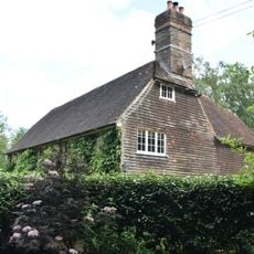
Sharps Bridge House
1.3 km
Lichfield
2.8 km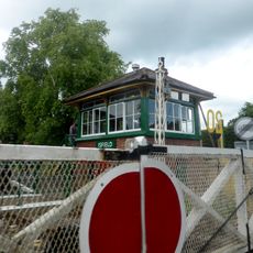
Isfield Signal Box And Railway Level Crossing Gates
3.4 km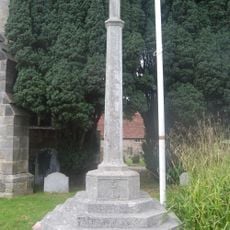
Uckfield War Memorial
2.1 km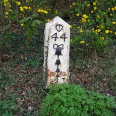
Milepost, Eastbourne Road, between Timberley Gardens and Meadow View
2.9 km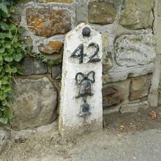
Milepost, Ringles Cross PH, London Road
3.1 kmAvis
Vous avez visité ce lieu ? Touchez les étoiles pour le noter et partager votre expérience ou vos photos avec la communauté ! Essayez maintenant ! Vous pouvez annuler à tout moment.
Trouvez des trésors cachés à chaque coin de rue !
Des petits cafés pittoresques aux points de vue planqués, fuyez la foule et dénichez les lieux qui vous ressemblent vraiment. Notre app vous facilite la vie : recherche vocale, filtres malins, itinéraires optimisés et bons plans partagés par des voyageurs du monde entier. Téléchargez vite pour vivre l'aventure en version mobile !

Une approche inédite de la découverte touristique❞
— Le Figaro
Tous les lieux qui valent la peine d'être explorés❞
— France Info
Une excursion sur mesure en quelques clics❞
— 20 Minutes