
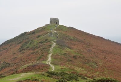
Promontory fort, medieval chapel of St Michael's and Second World War radar station at Rame Head
Promontory fort, medieval chapel of St Michael's and Second World War radar station at Rame Head, fort in Maker-with-Rame, Cornwall, England, UK
Emplacement : Maker-with-Rame
Coordonnées GPS : 50.31330,-4.22326
Dernière mise à jour : 6 mars 2025 à 00:12
Picklecombe Fort
5 km
Penlee Battery
2.3 km
Church of St Germanus
1.2 km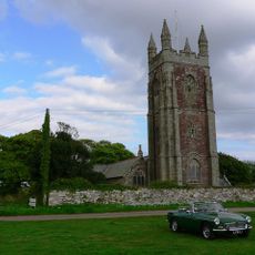
Church of St Mary and St Julian
4.7 km
Hawkins Battery
3.9 km
Church of St Andrew
2.4 km
Raleigh Battery
4.1 km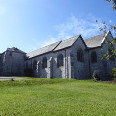
Church of All Saints
4.2 km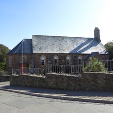
St Paul's Church, Kingsand
2.9 km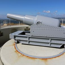
Maker Battery
3.4 km
Cawsand Battery
2.6 km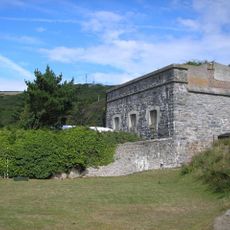
Polhawn Fort
961 m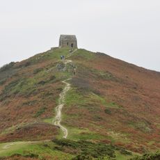
Rame Head
11 m
Chapel Of St Michael
35 m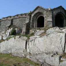
Queen Adelaides Chapel
2.4 km
Millbrook Methodist Church
3.9 km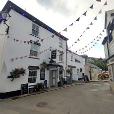
Halfway House Inn
2.7 km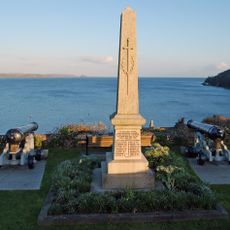
Cawsand and Rame War Memorial
2.6 km
Eventide
2.7 km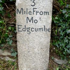
Milestone At Sx 419 519
3.6 km
Grenville Battery
3.5 km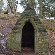
St Julian's Well, Maker-with-Rame
4.8 km
The Institute
2.7 km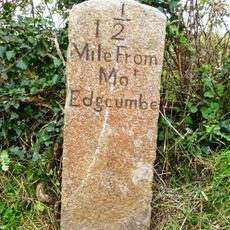
Milestone At Sx 437 518
4 km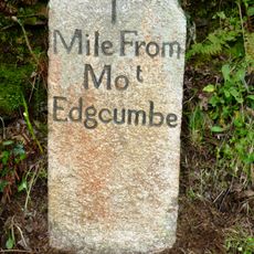
Milestone At Sx 445 520
4.7 km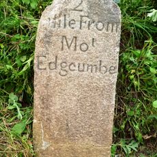
Milestone At Sx 430 515
3.5 km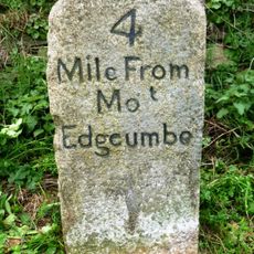
Milestone At Sx 408 528
4.7 km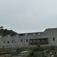
Cawsand Fort
2.6 kmAvis
Vous avez visité ce lieu ? Touchez les étoiles pour le noter et partager votre expérience ou vos photos avec la communauté ! Essayez maintenant ! Vous pouvez annuler à tout moment.
Trouvez des trésors cachés à chaque coin de rue !
Des petits cafés pittoresques aux points de vue planqués, fuyez la foule et dénichez les lieux qui vous ressemblent vraiment. Notre app vous facilite la vie : recherche vocale, filtres malins, itinéraires optimisés et bons plans partagés par des voyageurs du monde entier. Téléchargez vite pour vivre l'aventure en version mobile !

Une approche inédite de la découverte touristique❞
— Le Figaro
Tous les lieux qui valent la peine d'être explorés❞
— France Info
Une excursion sur mesure en quelques clics❞
— 20 Minutes