
West Humble Chapel, chapel in Westhumble, Surrey, England, UK
Emplacement : Mole Valley
Coordonnées GPS : 51.25480,-0.33915
Dernière mise à jour : 9 avril 2025 à 04:03
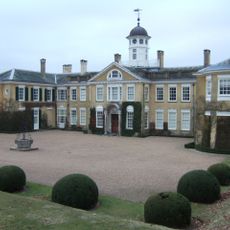
Polesden Lacey
2.4 km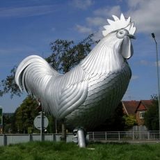
Dorking Cockerel
2.4 km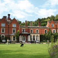
Juniper Hall
1.5 km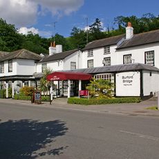
Burford Bridge Hotel
1.2 km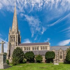
St Martin's Church, Dorking
2.5 km
Mole Gap to Reigate Escarpment
2.1 km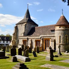
Church of St Michael
1.8 km
Pixham Church
2.3 km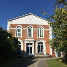
United Reformed Church
2.5 km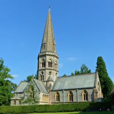
Church of St Barnabas, Ranmore
2.1 km
West Humble Chapel
685 m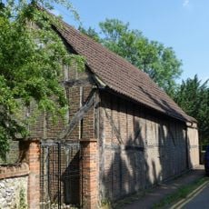
St Michael's Chapel of Ease
683 m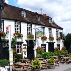
The Running Horses Inn
1.8 km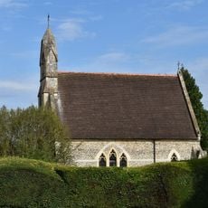
Anglican Chapel At Dorking Cemetery
2.4 km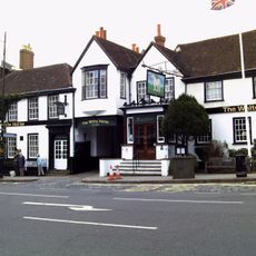
The White Horse Hotel
2.6 km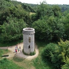
The Broadwood Folly At Juniper Hall
1.7 km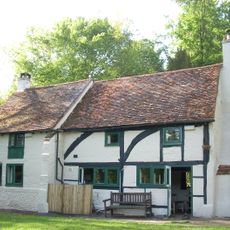
Tanners Hatch
2 km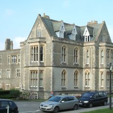
Pippbrook House
2.3 km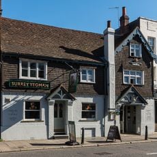
Surrey Yeoman House
2.5 km
Brookside
2.4 km
168 And 170, High Street
2.5 km
Dorking Cemetery Lodge, Entrance Arch, F Ormer Mortuary And Attached Walls
2.5 km
Dorking WWI Memorial Cross
2.5 km
Box Hill Fort
1.8 km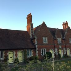
Almshouses
2.6 km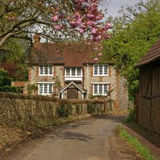
Camilla Lacey Lodge
658 m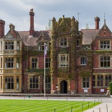
Box Hill School
1.9 km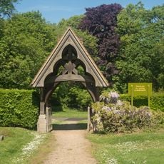
Lych Gate to Church of St Barnabas
2.1 kmAvis
Vous avez visité ce lieu ? Touchez les étoiles pour le noter et partager votre expérience ou vos photos avec la communauté ! Essayez maintenant ! Vous pouvez annuler à tout moment.
Trouvez des trésors cachés à chaque coin de rue !
Des petits cafés pittoresques aux points de vue planqués, fuyez la foule et dénichez les lieux qui vous ressemblent vraiment. Notre app vous facilite la vie : recherche vocale, filtres malins, itinéraires optimisés et bons plans partagés par des voyageurs du monde entier. Téléchargez vite pour vivre l'aventure en version mobile !

Une approche inédite de la découverte touristique❞
— Le Figaro
Tous les lieux qui valent la peine d'être explorés❞
— France Info
Une excursion sur mesure en quelques clics❞
— 20 Minutes