
Rowston, localité britannique du comté anglais de Lincolnshire
Emplacement : North Kesteven
Coordonnées GPS : 53.09410,-0.38253
Dernière mise à jour : 3 mars 2025 à 03:11
RAF Digby
5.3 km
North Ings Farm Museum
4 km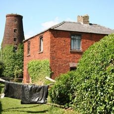
Metheringham Windmill
5.2 km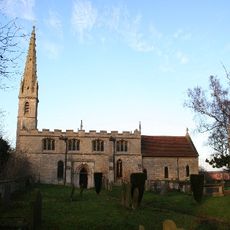
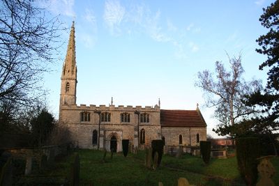
Church of St Clement
23 m
Metheringham Airfield Visitor Centre
3.6 km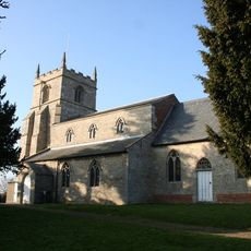
Church of St Andrew
4.2 km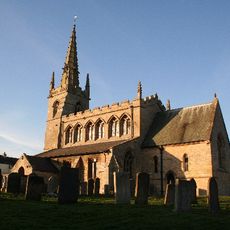
Church of St Thomas A Becket
1.7 km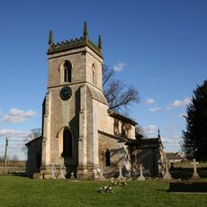
Church of St Mary
3.3 km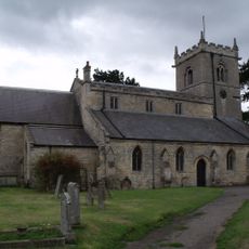
Church of St Wilfred
5.1 km
Church of St Oswald
4.7 km
Church of St Oswald
3.9 km
Church of St James and St John
3.2 km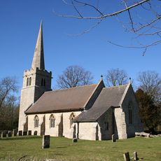
Church of St Hybald
3.3 km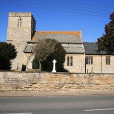
Church of the Holy Cross
2.2 km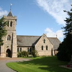
Holy Trinity Church
5.1 km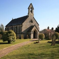
Church of the Holy Cross
1.4 km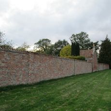
Orangery And Attached Garden Wall At Thorpe Tilney Hall
3.5 km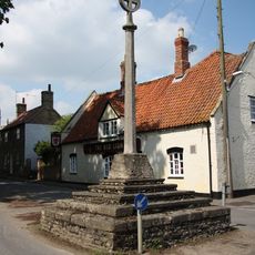
Digby village cross
1.7 km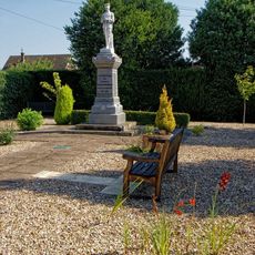
Metheringham War Memorial
5.2 km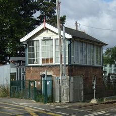
Blankney Signal Box
5 km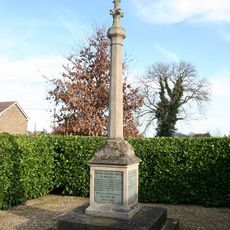
Walcott War Memorial
4.7 km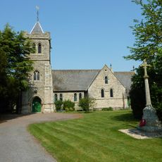
Martin War Memorial
5.1 km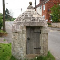
Village Lock Up
1.7 km
Dorrington House
3.6 km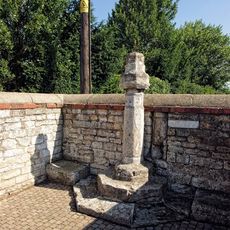
Market Cross
5.2 km
2, Manor Street
5.3 km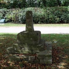
Rowston village cross
123 m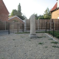
Cross 3 Metres South West Of No 73
3.5 kmAvis
Vous avez visité ce lieu ? Touchez les étoiles pour le noter et partager votre expérience ou vos photos avec la communauté ! Essayez maintenant ! Vous pouvez annuler à tout moment.
Trouvez des trésors cachés à chaque coin de rue !
Des petits cafés pittoresques aux points de vue planqués, fuyez la foule et dénichez les lieux qui vous ressemblent vraiment. Notre app vous facilite la vie : recherche vocale, filtres malins, itinéraires optimisés et bons plans partagés par des voyageurs du monde entier. Téléchargez vite pour vivre l'aventure en version mobile !

Une approche inédite de la découverte touristique❞
— Le Figaro
Tous les lieux qui valent la peine d'être explorés❞
— France Info
Une excursion sur mesure en quelques clics❞
— 20 Minutes