
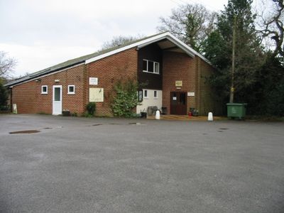
Hackington, localité britannique du comté anglais du Kent
Emplacement : Canterbury
Coordonnées GPS : 51.30490,1.07410
Dernière mise à jour : 5 mars 2025 à 14:42
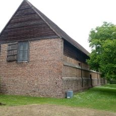
Tithe Barn, Sturry
3.3 km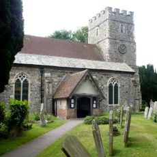
St Nicholas' Church, Sturry
3.3 km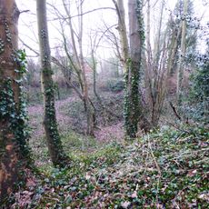
Sturry Pit
3.2 km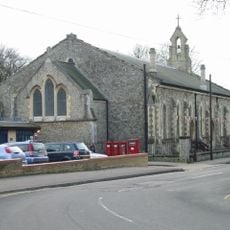
Church of All Saints
2.6 km
Church of St Stephen
1.6 km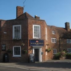
Ye Olde Beverlie Inn
1.6 km
Church of St Cosmus and St Damian
1.5 km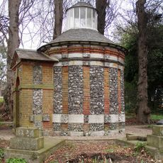
Hales Place Jesuit Cemetery Chapel
1.2 km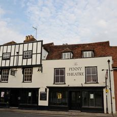
Alexandra Music Hall
2.5 km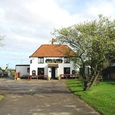
Royal Oak Public House
2.6 km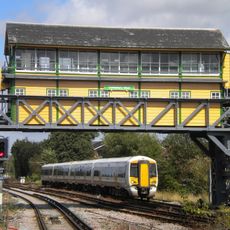
Canterbury West Signal Box
2.2 km
University of Kent Special Collections and Archives
885 m
33, Northgate
2.5 km
35, Northgate
2.5 km
Manwood's Hospital
1.6 km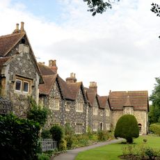
Refectory Hall And Kitchen To St John's Hospital
2.5 km
32, Northgate
2.5 km
Well Court
1.4 km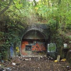
Tyler Hill Tunnel
882 m
Frog Hall
1.1 km
34, Northgate
2.5 km
28 And 29, Northgate
2.5 km
31, Northgate
2.5 km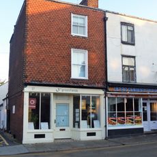
36 And 37, Northgate
2.5 km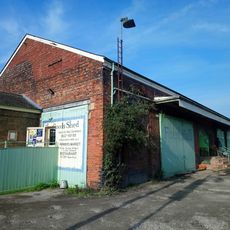
Goods Shed At Canterbury West Railway Station
2.3 km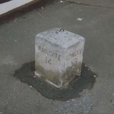
Milestone, High Street, on forecourt of Swan Inn
3.3 km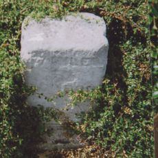
Milestone, Sturry Road, W of jct with Vauxhall Road roundabout, by No 349 & 351
2.5 km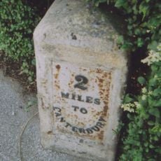
Milestone, Tile Kiln Hill, opp. No. 32, by No. 27
1.9 kmAvis
Vous avez visité ce lieu ? Touchez les étoiles pour le noter et partager votre expérience ou vos photos avec la communauté ! Essayez maintenant ! Vous pouvez annuler à tout moment.
Trouvez des trésors cachés à chaque coin de rue !
Des petits cafés pittoresques aux points de vue planqués, fuyez la foule et dénichez les lieux qui vous ressemblent vraiment. Notre app vous facilite la vie : recherche vocale, filtres malins, itinéraires optimisés et bons plans partagés par des voyageurs du monde entier. Téléchargez vite pour vivre l'aventure en version mobile !

Une approche inédite de la découverte touristique❞
— Le Figaro
Tous les lieux qui valent la peine d'être explorés❞
— France Info
Une excursion sur mesure en quelques clics❞
— 20 Minutes