
Stody, localité britannique du comté anglais de Norfolk
Emplacement : North Norfolk
Coordonnées GPS : 52.87291,1.05409
Dernière mise à jour : 3 mars 2025 à 22:00
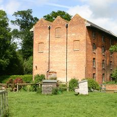
Letheringsett Watermill
3.8 km
Letheringsett Brewery watermill
3.9 km
St Lawrence Parish Church, Hunworth
996 m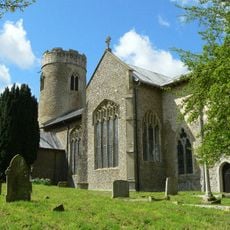
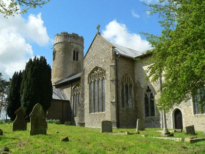
Church of St Mary
100 m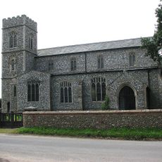
Church of St Peter and St Paul
3.8 km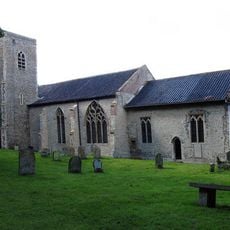
Church of St Maurice
1.8 km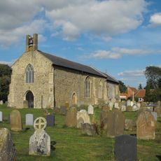
Church of All Saints
2.5 km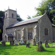
Church of St Andrew
2 km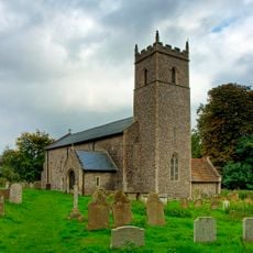
Church of All Saints
1.4 km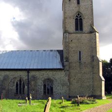
Church of All Saints
3.1 km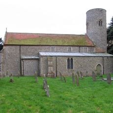
Church of St Andrew
4 km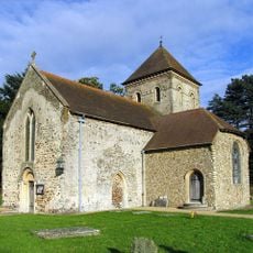
Church of St Peter, Melton Constable
3.5 km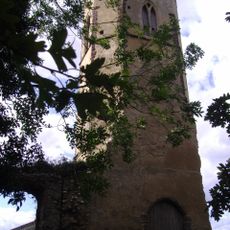
Remains of Former Parish Church of St Peter and St Paul
3 km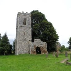
Church of St Mary (Ruins)
1.9 km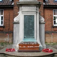
Melton Constable War Memorial
2.2 km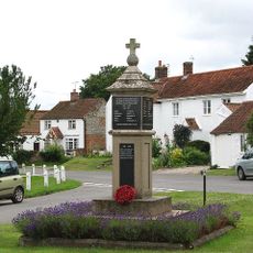
Edgefield War Memorial
4.1 km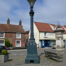
Signpost
4.2 km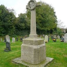
Briston War Memorial
2.5 km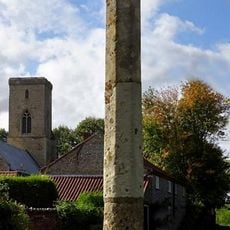
Sharrington village cross
3 km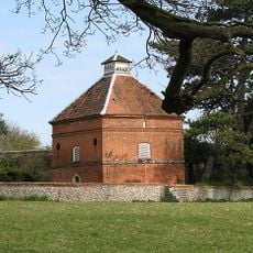
Dovecote, Circa 30 Metres South East Of Thornage Hall
1.6 km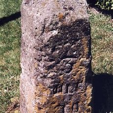
Milestone, S of "Newlands", Norwich Road, next to road sign
4.2 km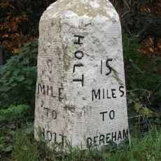
Milestone, by Oakhill House
2.7 km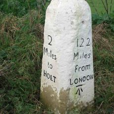
Milestone, c.halfway between lane to Hunworth to S, and Hill House
1.7 km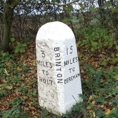
Milestone, 20yds S of house called "Milestone" on E side
1.1 km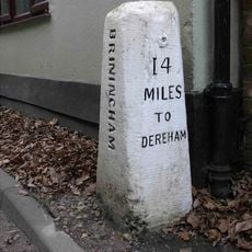
Milestone, by Stables Cottage
2.1 km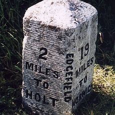
Milestone, opp. Valley Farm
3.4 km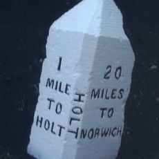
Milestone, 60yds N of FP style, c.1/2mile S of Holt Country Park entrance
3.3 km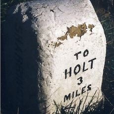
Milestone, 200yds E of road SP Sharrington Village Hall
3.3 kmVous avez visité ce lieu ? Touchez les étoiles pour le noter et partager votre expérience ou vos photos avec la communauté ! Essayez maintenant ! Vous pouvez annuler à tout moment.
Trouvez des trésors cachés à chaque coin de rue !
Des petits cafés pittoresques aux points de vue planqués, fuyez la foule et dénichez les lieux qui vous ressemblent vraiment. Notre app vous facilite la vie : recherche vocale, filtres malins, itinéraires optimisés et bons plans partagés par des voyageurs du monde entier. Téléchargez vite pour vivre l'aventure en version mobile !

Une approche inédite de la découverte touristique❞
— Le Figaro
Tous les lieux qui valent la peine d'être explorés❞
— France Info
Une excursion sur mesure en quelques clics❞
— 20 Minutes