
Borrowby, localité britannique du comté anglais de North Yorkshire
Emplacement : Hambleton
Coordonnées GPS : 54.29701,-1.34335
Dernière mise à jour : 29 avril 2025 à 07:26
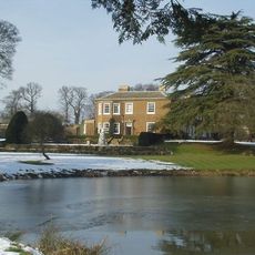
The Manor House
5.7 km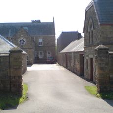
Upsall Castle
3.4 km
Otterington Hall
5.5 km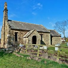
Thornton-le-Beans Chapel
3.5 km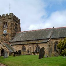
St John the Baptist's Church
6.8 km
Sigston Castle:
6 km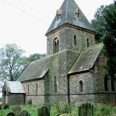
Church of St Michael and All Angels
3.7 km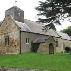
Church of St Wilfrid
5.2 km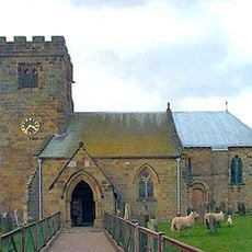
Church of St Felix
6 km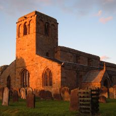
Church of St Mary
1.5 km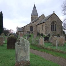
Church of St Michael
6.6 km
Church of St Wilfrid
4.4 km
Church of St Lawrence, Kirby Sigston
5.6 km
Church of St Leonard
3.3 km
Church of St Mary
4.8 km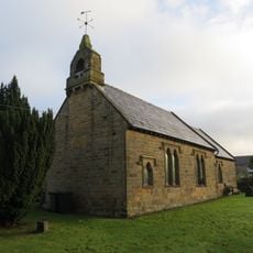
Church of All Saints
4.1 km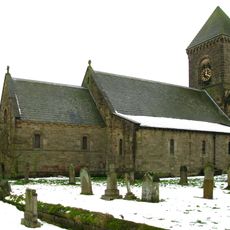
Church of St Andrew
5.9 km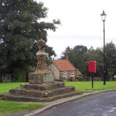
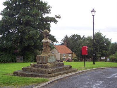
Village Cross
68 m
Kepwick Hall With Attached Service Wing And Coach House
5.2 km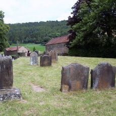
Group Of Font And Two Cross Bases With Shafts Approximately 5 Metres To South West Of Porch Of Church Of St Wilfrid
4.5 km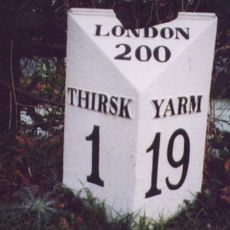
Mile Post Outside Burniston
6.4 km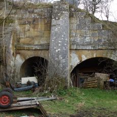
Lime kilns 400m south west of Furlands
1.4 km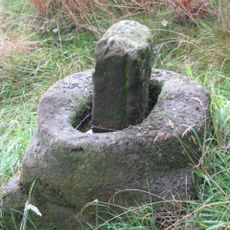
Wayside cross 600m east of Gallow Hill, known as Friar's Cross
6 km
Nevison House
5.2 km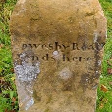
Boundary Stone On East Side Of Junction With Cophill Lane
1.2 km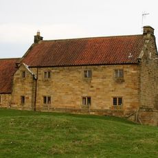
Manor Farmhouse and Attached Stable Block
4.1 km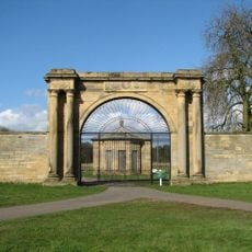
West Lodge Gateway To Thornton Stud With Flanking Walls, Gate, Railings And End Piers
5.9 km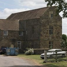
Leake Hall
1.4 kmAvis
Vous avez visité ce lieu ? Touchez les étoiles pour le noter et partager votre expérience ou vos photos avec la communauté ! Essayez maintenant ! Vous pouvez annuler à tout moment.
Trouvez des trésors cachés à chaque coin de rue !
Des petits cafés pittoresques aux points de vue planqués, fuyez la foule et dénichez les lieux qui vous ressemblent vraiment. Notre app vous facilite la vie : recherche vocale, filtres malins, itinéraires optimisés et bons plans partagés par des voyageurs du monde entier. Téléchargez vite pour vivre l'aventure en version mobile !

Une approche inédite de la découverte touristique❞
— Le Figaro
Tous les lieux qui valent la peine d'être explorés❞
— France Info
Une excursion sur mesure en quelques clics❞
— 20 Minutes