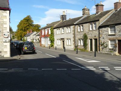
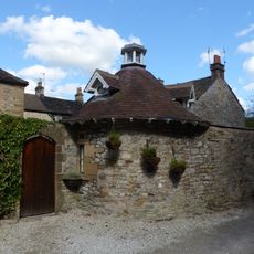
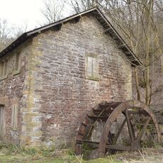
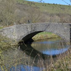
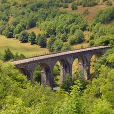
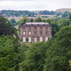
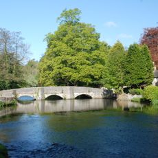
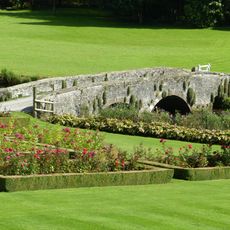
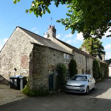
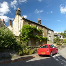
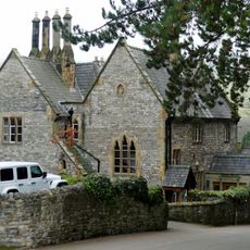
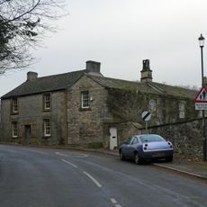
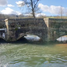
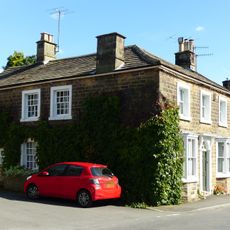
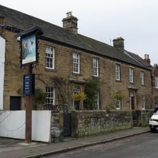
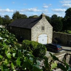
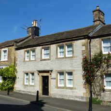
Ashford in the Water, village britannique
Emplacement : Derbyshire Dales
Partage une frontière avec : Little Longstone, Brushfield, Taddington, Sheldon, Flagg, Monyash, Over Haddon, Hassop, Rowland, Great Longstone
Coordonnées GPS : 53.22400,-1.70900
Dernière mise à jour : 8 mars 2025 à 19:12
Thornbridge Hall
1.2 km
Noir d'Ashford
450 m
Magpie Mine
2.8 km
Fin Cop
2.4 km
Lumford Mill
1.4 km
Church of Holy Trinity
55 m
St Michael and All Angels' Church, Sheldon
2.1 km
Well to north of Riverside Hotel
152 m
Congregational Chapel
2.1 km
Riverside Hotel
143 m
Ashford Arms
146 m
Dovecote and attached wall to east of Riverside Hotel
123 m
Ashford Bobbin Mill, West Building
1.3 km
Bridge to north of Ashford Bobbin Mill
1.3 km
Headstone Viaduct
2.3 km
Ashford Hall
443 m
Ashford Bobbin Mill, East Building
1.3 km
Sheepwash Bridge
130 m
Bridge at The Rookery
306 m
6, Watts Green
61 m
Gritstone House and attached garden wall
219 m
The Vicarage
203 m
Taxus Hill and attached garden walls
302 m
Ashford Bridge
369 m
Thornbury
163 m
Clifton House And Brushfield House
77 m
Coach house and stables east of The Rookery
307 m
The Candle House
162 mVous avez visité ce lieu ? Touchez les étoiles pour le noter et partager votre expérience ou vos photos avec la communauté ! Essayez maintenant ! Vous pouvez annuler à tout moment.
Trouvez des trésors cachés à chaque coin de rue !
Des petits cafés pittoresques aux points de vue planqués, fuyez la foule et dénichez les lieux qui vous ressemblent vraiment. Notre app vous facilite la vie : recherche vocale, filtres malins, itinéraires optimisés et bons plans partagés par des voyageurs du monde entier. Téléchargez vite pour vivre l'aventure en version mobile !
Une approche inédite de la découverte touristique❞
— Le Figaro
Tous les lieux qui valent la peine d'être explorés❞
— France Info
Une excursion sur mesure en quelques clics❞
— 20 Minutes