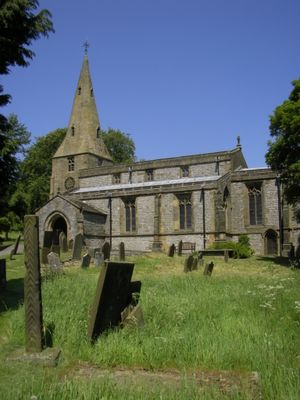
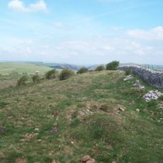
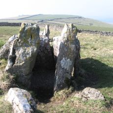
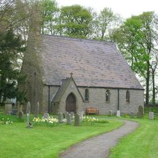
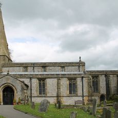
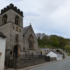
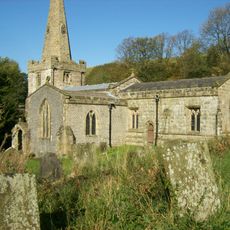
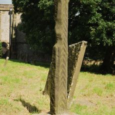
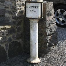
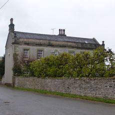
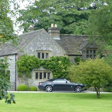
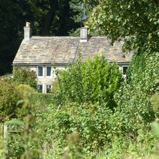
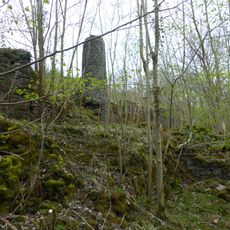
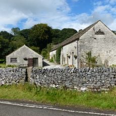
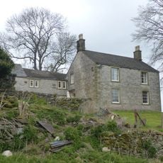
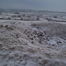
Taddington, village britannique
Emplacement : Derbyshire Dales
Partage une frontière avec : Blackwell, Chelmorton, Flagg, Sheldon, Little Longstone, Ashford in the Water, Brushfield, Litton, Tideswell, Wormhill
Coordonnées GPS : 53.23780,-1.79280
Dernière mise à jour : 7 mars 2025 à 02:03
Monsal Trail
4.1 km
Slow Train
2 km
Fin Cop
3.5 km
Five Wells
1.5 km
St Michael and All Angels' Church, Sheldon
4.3 km
Church of St Michael
209 m
Church of St Anne
2.1 km
Church of St John the Baptist
2.6 km
The 'Anglers Rest' Public House
2.2 km
Millers Dale Bridge 75
2.3 km
Cressbrook Mill
3.7 km
North Viaduct
2 km
Headstone Viaduct
4.3 km
Standing cross in the churchyard of St Michael and All Angels
236 m
Milepost at OS 143 711
393 m
Row of four lime kilns
2 km
South Viaduct
2 km
The Hall
721 m
Old Farmhouse, Town Head Farm
2.4 km
Churchyard cross 10 metres south of south transept of church
2.6 km
White Cliff bowl barrow
4.3 km
Chapelsteads Farmhouse
3.1 km
Putwell Hill Mine
3.6 km
Outbuilding To The South Of Chapelsteads Farmhouse
3 km
Milepost At Os 169 707
3.1 km
Highcliffe Farmhouse And Attached Barn
964 m
Taddington Field Farmhouse
2.2 km
Two bowl barrows on Chelmorton Low
2.6 kmVous avez visité ce lieu ? Touchez les étoiles pour le noter et partager votre expérience ou vos photos avec la communauté ! Essayez maintenant ! Vous pouvez annuler à tout moment.
Trouvez des trésors cachés à chaque coin de rue !
Des petits cafés pittoresques aux points de vue planqués, fuyez la foule et dénichez les lieux qui vous ressemblent vraiment. Notre app vous facilite la vie : recherche vocale, filtres malins, itinéraires optimisés et bons plans partagés par des voyageurs du monde entier. Téléchargez vite pour vivre l'aventure en version mobile !
Une approche inédite de la découverte touristique❞
— Le Figaro
Tous les lieux qui valent la peine d'être explorés❞
— France Info
Une excursion sur mesure en quelques clics❞
— 20 Minutes