
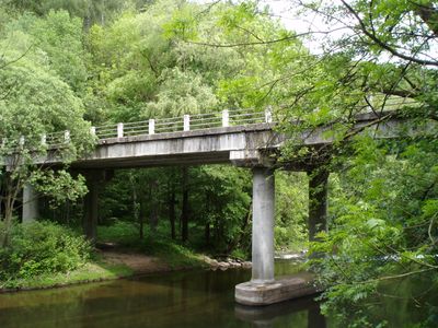
Slatinský most, bridge over the Úpa between Červená Hora and Slatina nad Úpou
Emplacement : Slatina nad Úpou
Emplacement : Červená Hora
Coordonnées GPS : 50.45145,16.04930
Dernière mise à jour : 23 septembre 2025 à 17:46
Rýzmburk
2.1 km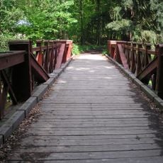
Červený most
1.9 km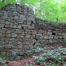
Červená Hora Castle
113 m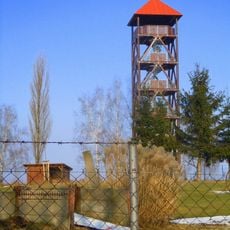
Žernov
2.4 km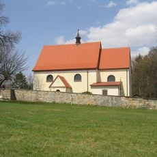
Church of the Visitation of Our Lady (Boušín)
795 m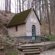
Chapel of Virgin Mary in Boušín
873 m
Pod Rýzmburkem
2.2 km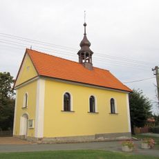
Kaple Panny Marie Sněžné
2.4 km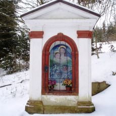
Chapel of Virgin Mary
53 m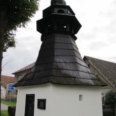
Chapel of Virgin Mary
697 m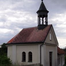
Chapel of Holy Trinity
2.4 km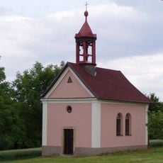
Chapel of Saint Anthony of Padua
2.4 km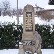
Pomnik poległych w czasie I wojny światowej w Slatinie nad Úpou
761 m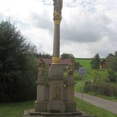
Kolumna Maryjna w Slatinie nad Úpou
547 m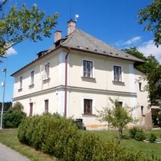
Rectory in Boušín
776 m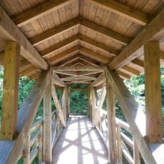
Boušínská lávka
1.1 km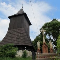
Slatinska dzwonnica
652 m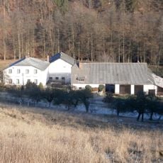
Slatinski młyn
111 m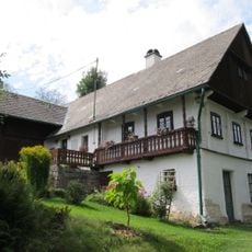
Dům Josefa Wlčka
920 m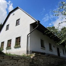
Dům čp. 46
2.3 km
Tvrz
2.4 km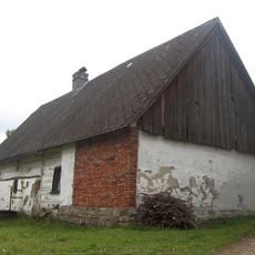
Dům čp. 89
759 m
Babiččino údolí - Rýzmburk
2.5 km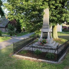
Pomník padlým na Žernově u České Skalice
2.4 km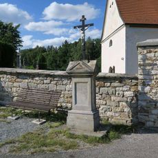
Pamětní kříž na Boušíně
777 m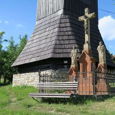
Pamětní kříž ve Slatině nad Úpou
650 m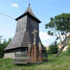
Zvonice ve Slatině nad Úpou
654 m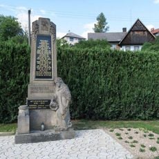
Pomník padlým ve Slatině nad Úpou
761 mAvis
Vous avez visité ce lieu ? Touchez les étoiles pour le noter et partager votre expérience ou vos photos avec la communauté ! Essayez maintenant ! Vous pouvez annuler à tout moment.
Trouvez des trésors cachés à chaque coin de rue !
Des petits cafés pittoresques aux points de vue planqués, fuyez la foule et dénichez les lieux qui vous ressemblent vraiment. Notre app vous facilite la vie : recherche vocale, filtres malins, itinéraires optimisés et bons plans partagés par des voyageurs du monde entier. Téléchargez vite pour vivre l'aventure en version mobile !

Une approche inédite de la découverte touristique❞
— Le Figaro
Tous les lieux qui valent la peine d'être explorés❞
— France Info
Une excursion sur mesure en quelques clics❞
— 20 Minutes