
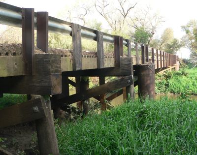
South Dakota Department of Transportation Bridge No. 63-210-282
South Dakota Department of Transportation Bridge No. 63-210-282
Emplacement : South Dakota
Coordonnées GPS : 43.09667,-96.98083
Dernière mise à jour : 28 novembre 2025 à 15:30
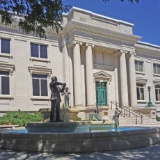
National Music Museum
35.2 km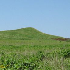
Spirit Mound Historic Prairie
24.8 km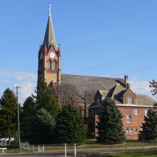
Immaculate Conception Catholic Church and Rectory
38.7 km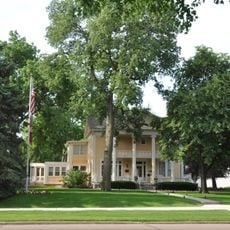
Inman House
35.6 km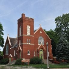
St. Agnes Catholic Church
35.3 km
Canton Lutheran Church
39.1 km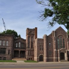
First Baptist Church of Vermillion
35.6 km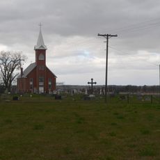
St. Agnes Church
36.4 km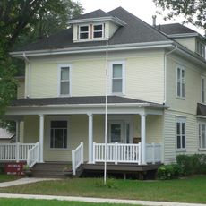
Governor William J. Bulow House
16.7 km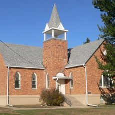
United Church of Christ
31 km
South Dakota Department of Transportation Bridge No. 63-160-056
37.2 km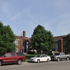
First Methodist Episcopal Church
35.6 km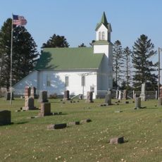
United Brethren Church
34.4 km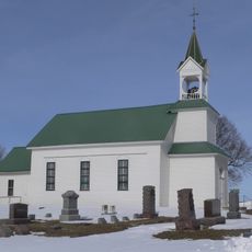
Vangen Church
29.9 km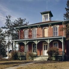
Austin–Whittemore House
35.6 km
Sample–Lindblaum House
13.8 km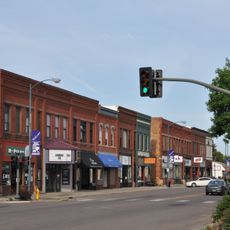
Downtown Vermillion Historic District
35.6 km
Aggergaard Manor
14.7 km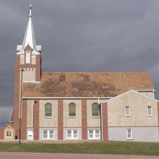
Martin's Evangelical Church
37.7 km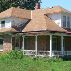
Van Osdel House
31.3 km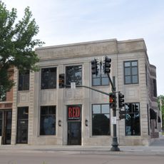
First National Bank Building of Vermillion
35.6 km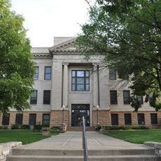
Clay County Courthouse
35.5 km
Bridge No. 63-137-090-Parker
33 km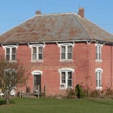
William Andre House
30.3 km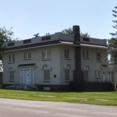
Parker Masonic Hall
35.8 km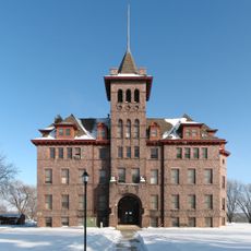
Old Main
40 km
Linden House
36.2 km
Forest Avenue Historic District
35.9 kmVous avez visité ce lieu ? Touchez les étoiles pour le noter et partager votre expérience ou vos photos avec la communauté ! Essayez maintenant ! Vous pouvez annuler à tout moment.
Trouvez des trésors cachés à chaque coin de rue !
Des petits cafés pittoresques aux points de vue planqués, fuyez la foule et dénichez les lieux qui vous ressemblent vraiment. Notre app vous facilite la vie : recherche vocale, filtres malins, itinéraires optimisés et bons plans partagés par des voyageurs du monde entier. Téléchargez vite pour vivre l'aventure en version mobile !

Une approche inédite de la découverte touristique❞
— Le Figaro
Tous les lieux qui valent la peine d'être explorés❞
— France Info
Une excursion sur mesure en quelques clics❞
— 20 Minutes