
The Rectory, clergy house in Harting, Chichester, West Sussex, UK
Emplacement : Harting
Coordonnées GPS : 50.96938,-0.88364
Dernière mise à jour : 17 mars 2025 à 09:32
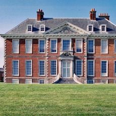
Uppark
1.9 km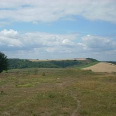
Devil's Jumps
4.5 km
Vandalian Tower
1.2 km
Harting Beacon: a hilltop enclosure, Anglo-Saxon burial mound and telegraph station on Beacon and Pen Hills
2.5 km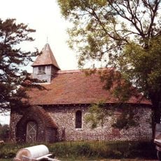
Church of St Mary
4 km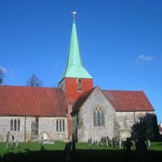
The Parish Church of St Mary & St Gabriel, South Harting
92 m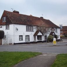
The Ship Inn
110 m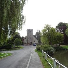
Church of St Mary
4.5 km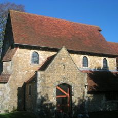
The Parish Church of St Paul
3.1 km
Ruins Of The Old Parish Church Of St Mary
4 km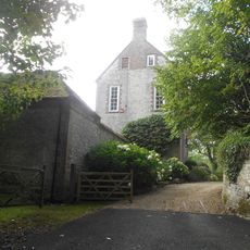
Treyford Manor
4 km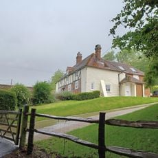
The Old Inn
1.1 km
Habin Bridge
4.2 km
Kent House
915 m
Stables, 30 Metres South West Of The Manor House
4.5 km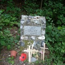
Hptm J. Oestermann Memorial, Treyford
4.5 km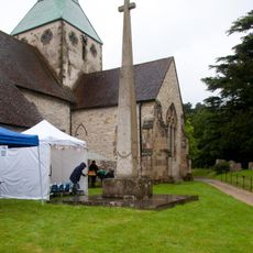
Harting War Memorial
71 m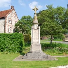
War memorial adjacent to St Mary's Church
4.5 km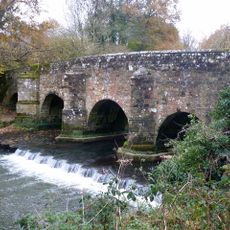
Durford Bridge
3.8 km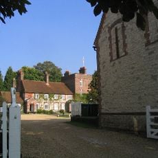
The Manor House
4.5 km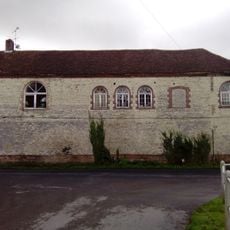
Orangery 10 Metres West Of The Manor House
4.5 km
The Stable Block At Up Park To The North West Of The House
1.9 km
Marden Farmhouse
1.4 km
Torberry hillfort
983 m
Old Manor House
1.8 km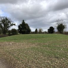
Bevis's Thumb long barrow, 370m west of Fernbeds Farm
4 km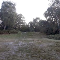
Two bowl barrows and a saucer barrow 360m south of the Club House on Petersfield Heath Common, part of the Petersfield Heath Gro
4.5 km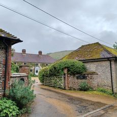
Treyford Manor Farmhouse
4.2 kmAvis
Vous avez visité ce lieu ? Touchez les étoiles pour le noter et partager votre expérience ou vos photos avec la communauté ! Essayez maintenant ! Vous pouvez annuler à tout moment.
Trouvez des trésors cachés à chaque coin de rue !
Des petits cafés pittoresques aux points de vue planqués, fuyez la foule et dénichez les lieux qui vous ressemblent vraiment. Notre app vous facilite la vie : recherche vocale, filtres malins, itinéraires optimisés et bons plans partagés par des voyageurs du monde entier. Téléchargez vite pour vivre l'aventure en version mobile !

Une approche inédite de la découverte touristique❞
— Le Figaro
Tous les lieux qui valent la peine d'être explorés❞
— France Info
Une excursion sur mesure en quelques clics❞
— 20 Minutes