
Behar, building in Easebourne, Chichester, West Sussex, UK
Emplacement : Easebourne
Coordonnées GPS : 50.99586,-0.72633
Dernière mise à jour : 21 mars 2025 à 12:02
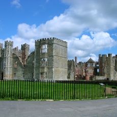
Cowdray House
983 m
Cowdray Park
1.2 km
Easebourne Priory
102 m
Eagle House Antiques Market With The Parish Room Over It
1.4 km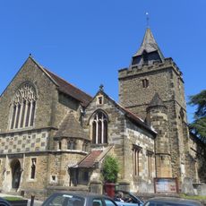
The Parish Church of St Mary
1.4 km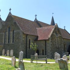
The Parish Church of St Mary
78 m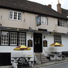
The Swan Inn
1.4 km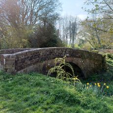
Bridge On Former Rother Navigation (At Su88942135)
1.4 km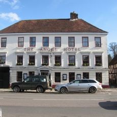
The Angel Hotel
1.2 km
The Spread Eagle Hotel
1.4 km
The Old Library
1.3 km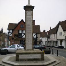
Midhurst War Memorial
1.4 km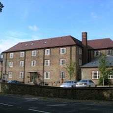
Budgenor Lodge
716 m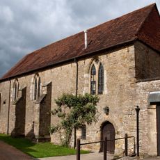
The Refectory
107 m
The Harrow
1.2 km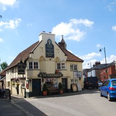
The Wheatsheaf Inn
1.4 km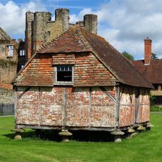
Granary Adjoining The Ruins Of Cowdray House On The South West
1 km
The Former Stables Of Old Cowdray House
1.1 km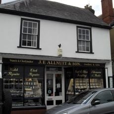
JE Allnutt and Son Ltd
1.5 km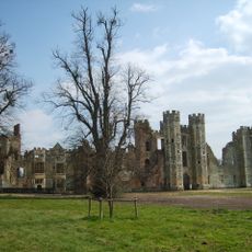
Cowdray: a fortified medieval house and part of its landscaped grounds
942 m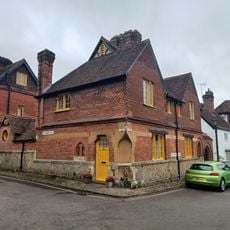
342-347 St Anne's Hill And St Ann's Hall, Including Archway To Edinburgh Square
1.4 km
Chichester District Council Offices
1.2 km
Midhurst Castle
1.3 km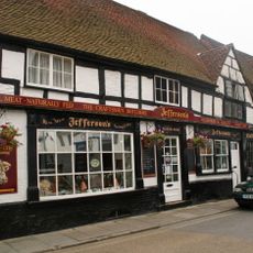
Jefferson's Butchers And Blackiston House
1.5 km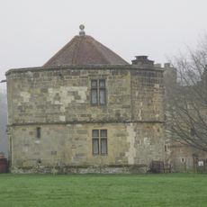
The Round Tower Or Water Tower Of Cowdray House To The North West Of The Ruins
877 m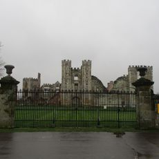
Gates Of Cowdray House
997 m
Court Green
1.3 km
The Fomer Stables Of The Grammar School To The South Of The Original Building
1.2 kmAvis
Vous avez visité ce lieu ? Touchez les étoiles pour le noter et partager votre expérience ou vos photos avec la communauté ! Essayez maintenant ! Vous pouvez annuler à tout moment.
Trouvez des trésors cachés à chaque coin de rue !
Des petits cafés pittoresques aux points de vue planqués, fuyez la foule et dénichez les lieux qui vous ressemblent vraiment. Notre app vous facilite la vie : recherche vocale, filtres malins, itinéraires optimisés et bons plans partagés par des voyageurs du monde entier. Téléchargez vite pour vivre l'aventure en version mobile !

Une approche inédite de la découverte touristique❞
— Le Figaro
Tous les lieux qui valent la peine d'être explorés❞
— France Info
Une excursion sur mesure en quelques clics❞
— 20 Minutes