
Bus Shelter 10 Metres South Of Footbridge, bus shelter in Stannington, Northumberland, UK
Emplacement : Stannington
Coordonnées GPS : 55.10827,-1.66628
Dernière mise à jour : 9 mars 2025 à 18:30
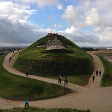
Northumberlandia
3.3 km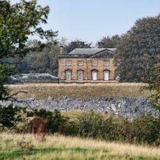
Blagdon Hall
3.4 km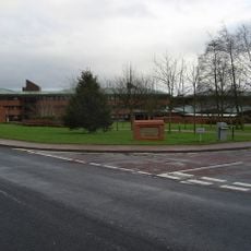
County Hall
5.1 km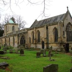
St Mary's, High Church
6 km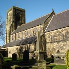
Church of St Nicholas
5.9 km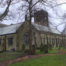
Church of St Cuthbert
5.3 km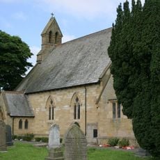
Church of St Matthew
6.1 km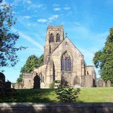
Church of St Mary the Virgin
404 m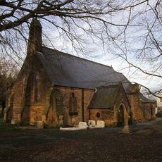
Church of St Paul The Apostle
6.1 km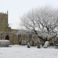
Church of St Mary
6.1 km
St Aidan
5.7 km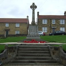
Bedlington War Memorial
5.2 km
The Grapes
5.2 km
Cramlington War Memorial in Village Square
5.8 km
The Cross
5.2 km
Bellasis Bridge
2.9 km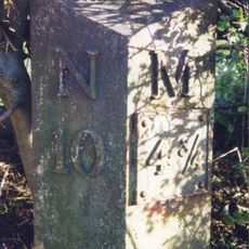
Milepost East Of Road 80 Metres South Of Swan Farmhouse
346 m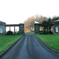
South Lodges, Gate Screen And Gates
3.3 km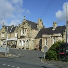
Old Station Buildings (Greens Agricultural Merchants)
6.1 km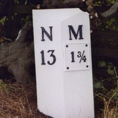
Milepost 500 Metres South Of Catchburn Farm
4.3 km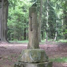
Medieval Cross Remains In North Wood
2.4 km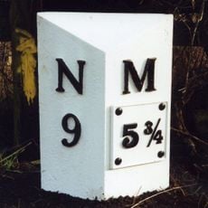
Milepost East Of Road 50 Metres North Of Blagdon North Lodge
1.9 km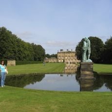
Canal With Basin Urns And Statue, To South Of Blagdon Hall
2.5 km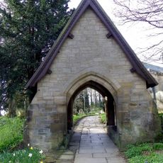
Lychgate North-East Of Church Of St Mary
6 km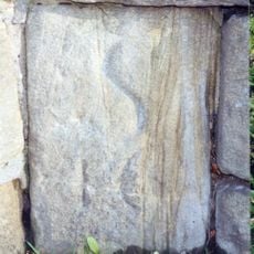
Milestone, Shields Road, just W of railway bridge, near Mafeking Park
6.2 km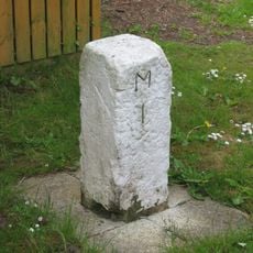
Milestone, Turner Square, Morpeth
5.5 km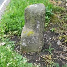
Milestone, Cramlington, nr roundabout jct with A1068
3.2 km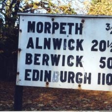
Sign board, jct with St Mary's Road
6 kmAvis
Vous avez visité ce lieu ? Touchez les étoiles pour le noter et partager votre expérience ou vos photos avec la communauté ! Essayez maintenant ! Vous pouvez annuler à tout moment.
Trouvez des trésors cachés à chaque coin de rue !
Des petits cafés pittoresques aux points de vue planqués, fuyez la foule et dénichez les lieux qui vous ressemblent vraiment. Notre app vous facilite la vie : recherche vocale, filtres malins, itinéraires optimisés et bons plans partagés par des voyageurs du monde entier. Téléchargez vite pour vivre l'aventure en version mobile !

Une approche inédite de la découverte touristique❞
— Le Figaro
Tous les lieux qui valent la peine d'être explorés❞
— France Info
Une excursion sur mesure en quelques clics❞
— 20 Minutes