
The Laurels, architectural structure in Castle Eaton, Swindon, Wiltshire, UK
Emplacement : Castle Eaton
Coordonnées GPS : 51.66093,-1.78979
Dernière mise à jour : 10 avril 2025 à 16:38
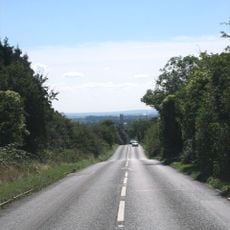
Ermin Street
4.3 km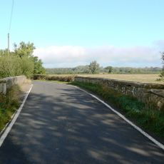
Hannington Bridge
2.8 km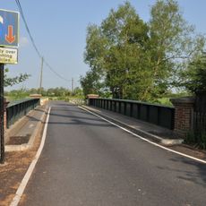
Castle Eaton Bridge
197 m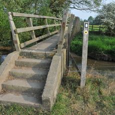
Eysey Footbridge
3.8 km
Cricklade Town Bridge
4.8 km
Water Eaton House Bridge
2.9 km
A419 Road Bridge
4.3 km
Church of St Mary the Virgin
1.6 km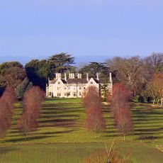
Hannington Hall
4.1 km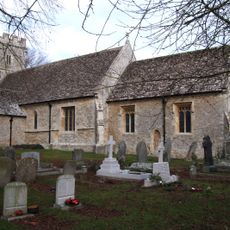
Church of St John the Baptist
4.6 km
Church of St Anne
3.8 km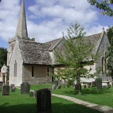
Church of All Saints
4.9 km
Parish Church of St Mary
152 m
Church of St James
2.3 km
Roman Catholic Church of St Thomas of Canterbury
4.7 km
Red Lion Inn
115 m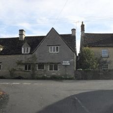
Bridge Cottage
141 m
The Masons Arms
4.8 km
Kempsford Manor And West Wing
1.5 km
The Jolly Tar Public House
3.9 km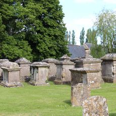
Group Of Ten Monuments About 5 Metres North Of Chancel In Churchyard Of Church Of St Mary The Virgin
1.7 km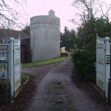
Round House
1.6 km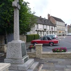
Cricklade War Memorial
4.9 km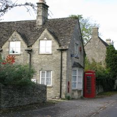
K6 Telephone Kiosk Outside Post Office, The Street
2.2 km
Wharf Farmhouse
4.8 km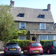
The Old Manor House
4.9 km
Presbytery Of Church Of St Thomas Of Canterbury
4.7 km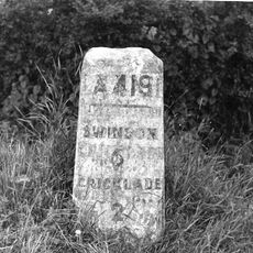
Milestone On Boundary With Cricklade Parish
4.3 kmAvis
Vous avez visité ce lieu ? Touchez les étoiles pour le noter et partager votre expérience ou vos photos avec la communauté ! Essayez maintenant ! Vous pouvez annuler à tout moment.
Trouvez des trésors cachés à chaque coin de rue !
Des petits cafés pittoresques aux points de vue planqués, fuyez la foule et dénichez les lieux qui vous ressemblent vraiment. Notre app vous facilite la vie : recherche vocale, filtres malins, itinéraires optimisés et bons plans partagés par des voyageurs du monde entier. Téléchargez vite pour vivre l'aventure en version mobile !

Une approche inédite de la découverte touristique❞
— Le Figaro
Tous les lieux qui valent la peine d'être explorés❞
— France Info
Une excursion sur mesure en quelques clics❞
— 20 Minutes