
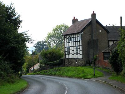
The High House, house in Lugwardine, County of Herefordshire, UK
Emplacement : Lugwardine
Coordonnées GPS : 52.06499,-2.66242
Dernière mise à jour : 5 mars 2025 à 23:01

Longworth Roman Catholic Chapel
2.2 km
The New Inn
1.4 km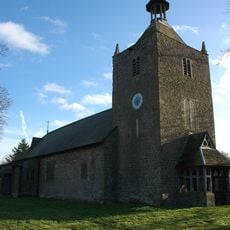
Rotherwas Chapel
2.8 km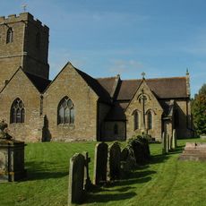
Church of St Peter
412 m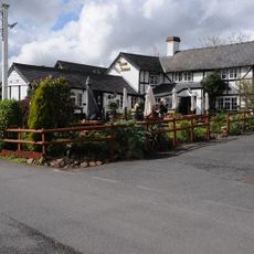
The Crown And Anchor Inn
125 m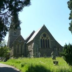
Church of St Paul
1.9 km
Milepost At Junction Of Hampton Park Road And St Margarets Road
2.9 km
Sustrans Portrait Bench Hereford
2.8 km
4Runner
3 km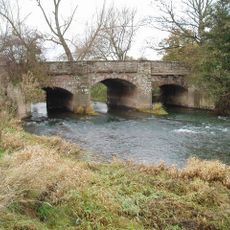
Lugwardine Bridge
278 m
Convent Of Our Lady Of Charity
2.2 km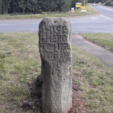
The White Stone And Fragment Of Base Immediately To The East
2.5 km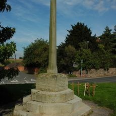
Lugwardine War Memorial
434 m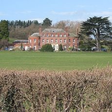
Longworth Hall
2.1 km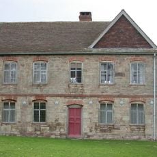
Shelwick Court
2.9 km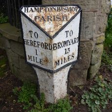
Milestone To South East Of Junction With Broadlands Lane
2.4 km
Lower Lodge
158 m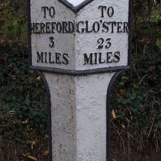
Milepost At So553381
2.9 km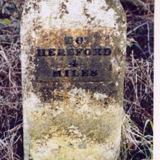
Mile Stone About 250 Yards East-North-East Of The White Stone
2.4 km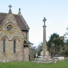
Churchyard Cross
425 m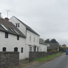
Lugg Farmhouse
1.6 km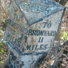
Milepost At So 545426
1.7 km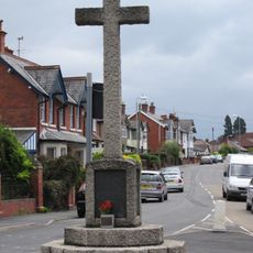
Tupsley War Memorial
2.1 km
Milestone, Whitestone House, White Stone Cross
2.5 km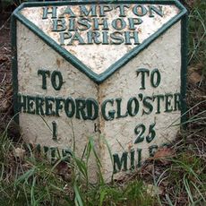
Milepost, Eign Hill, W of Hampton Park, E of railway
2.9 km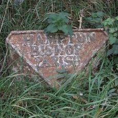
Milepost, Hampton Park Road, Franchise Stone
2.1 km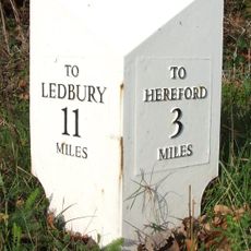
Milepost, opp church, jct with Lumber Lane
431 m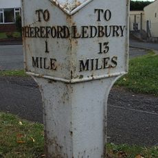
Milepost, Tupsley, E of Rose & Crown PH
2.5 kmVous avez visité ce lieu ? Touchez les étoiles pour le noter et partager votre expérience ou vos photos avec la communauté ! Essayez maintenant ! Vous pouvez annuler à tout moment.
Trouvez des trésors cachés à chaque coin de rue !
Des petits cafés pittoresques aux points de vue planqués, fuyez la foule et dénichez les lieux qui vous ressemblent vraiment. Notre app vous facilite la vie : recherche vocale, filtres malins, itinéraires optimisés et bons plans partagés par des voyageurs du monde entier. Téléchargez vite pour vivre l'aventure en version mobile !

Une approche inédite de la découverte touristique❞
— Le Figaro
Tous les lieux qui valent la peine d'être explorés❞
— France Info
Une excursion sur mesure en quelques clics❞
— 20 Minutes