
Lugwardine, village britannique
Emplacement : Herefordshire
Coordonnées GPS : 52.06600,-2.66000
Dernière mise à jour : 6 mars 2025 à 06:20

Longworth Roman Catholic Chapel
2 km
The New Inn
1.2 km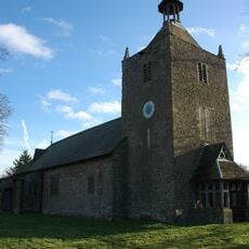
Rotherwas Chapel
3 km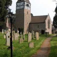
Church of St Andrew
3.2 km
Church of St Peter
237 m
Church of St Paul
2.1 km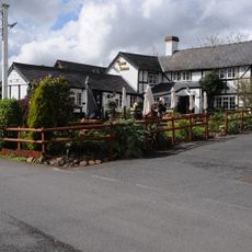
The Crown And Anchor Inn
132 m
Milepost At Junction Of Hampton Park Road And St Margarets Road
3.1 km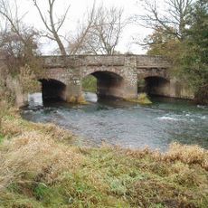
Lugwardine Bridge
450 m
Convent Of Our Lady Of Charity
2 km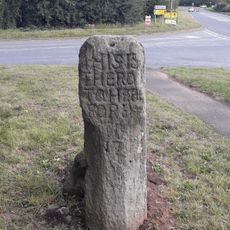
The White Stone And Fragment Of Base Immediately To The East
2.3 km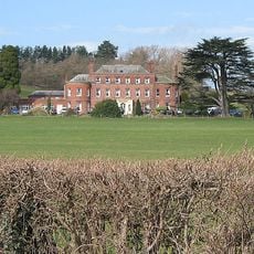
Longworth Hall
2.1 km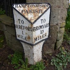
Milestone To South East Of Junction With Broadlands Lane
2.6 km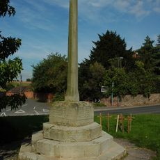
Lugwardine War Memorial
252 m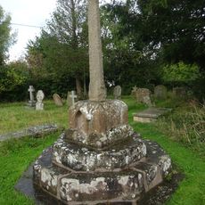
Churchyard cross in St Andrew's churchyard
3.2 km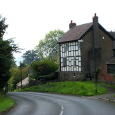
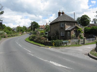
The High House
200 m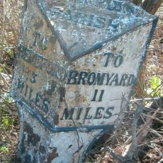
Milepost At So 545426
1.6 km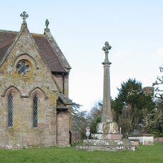
Churchyard Cross
253 m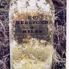
Mile Stone About 250 Yards East-North-East Of The White Stone
2.2 km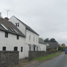
Lugg Farmhouse
1.7 km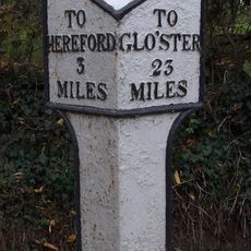
Milepost At So553381
3 km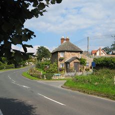
Lower Lodge
343 m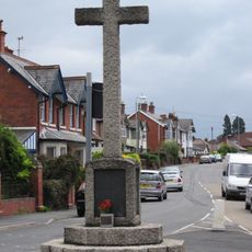
Tupsley War Memorial
2.3 km
Milestone, Whitestone House, White Stone Cross
2.3 km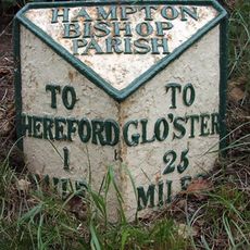
Milepost, Eign Hill, W of Hampton Park, E of railway
3.1 km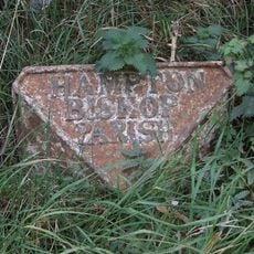
Milepost, Hampton Park Road, Franchise Stone
2.3 km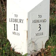
Milepost, opp church, jct with Lumber Lane
245 m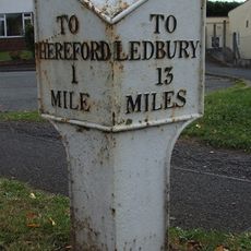
Milepost, Tupsley, E of Rose & Crown PH
2.7 kmVous avez visité ce lieu ? Touchez les étoiles pour le noter et partager votre expérience ou vos photos avec la communauté ! Essayez maintenant ! Vous pouvez annuler à tout moment.
Trouvez des trésors cachés à chaque coin de rue !
Des petits cafés pittoresques aux points de vue planqués, fuyez la foule et dénichez les lieux qui vous ressemblent vraiment. Notre app vous facilite la vie : recherche vocale, filtres malins, itinéraires optimisés et bons plans partagés par des voyageurs du monde entier. Téléchargez vite pour vivre l'aventure en version mobile !

Une approche inédite de la découverte touristique❞
— Le Figaro
Tous les lieux qui valent la peine d'être explorés❞
— France Info
Une excursion sur mesure en quelques clics❞
— 20 Minutes