
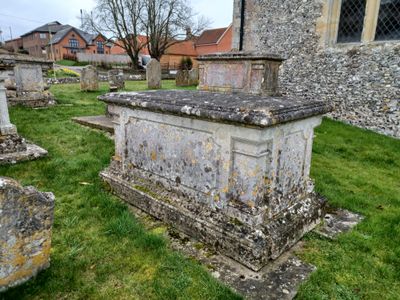
Table Tomb 5 Metres North Of Church Of All Saints, tomb in Barton Stacey, Test Valley, Hampshire, UK (51°10'4.858"N, 1°22'45.804"W)
Emplacement : Barton Stacey
Coordonnées GPS : 51.16802,-1.37939
Dernière mise à jour : 13 mars 2025 à 13:25

Tidbury Ring
3.3 km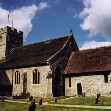
Church of St Nicholas
2.9 km
Church of All Saints
13 m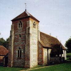
Church of St Michael
2 km
The Cricketers Inn
3.5 km
The Swan Inn
116 m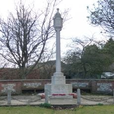
Sutton Scotney War Memorial
3.4 km
Manor Farmhouse
2.5 km
Yew Cottage
3.6 km
Table Tomb 2 Metres North Of Church Of All Saints
7 m
Table Tomb 9 Metres North Of Church Of All Saints
6 m
Longparish War Memorial
3 km
Table Tomb 9 Metres Noth Of Church Of All Saints
4 m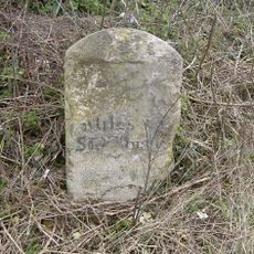
Milestone 800 Metres West Of Red House, Sutton Scotney
2.6 km
Millhouse And Mill
3.7 km
The Malt House And Boundary Wall
28 m
Old School House
86 m
Table Tomb 10 Metres South Of Church Of All Saints
31 m
Table Tomb 7 Metres North Of Church Of All Saints
3 m
Table Tomb 12 Metres North Of Church Of All Saints
6 m
Table Tomb 10 Metres North Of Church Of All Saints
6 m
Gatepiers (To The East Lodge Of The Priory)
3.9 km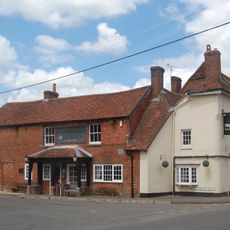
Coach And Horses
3.3 km
The Curacy
3 km
Table Tomb 5 Metres North Of Church Of All Saints
3 m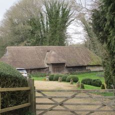
Barn (20 Yards North Of Manor Farmhouse)
2.5 km
Milestone, Tidbury Ring
3.6 km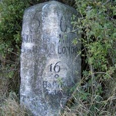
Milestone, Buckley Cottages
3.7 kmAvis
Vous avez visité ce lieu ? Touchez les étoiles pour le noter et partager votre expérience ou vos photos avec la communauté ! Essayez maintenant ! Vous pouvez annuler à tout moment.
Trouvez des trésors cachés à chaque coin de rue !
Des petits cafés pittoresques aux points de vue planqués, fuyez la foule et dénichez les lieux qui vous ressemblent vraiment. Notre app vous facilite la vie : recherche vocale, filtres malins, itinéraires optimisés et bons plans partagés par des voyageurs du monde entier. Téléchargez vite pour vivre l'aventure en version mobile !

Une approche inédite de la découverte touristique❞
— Le Figaro
Tous les lieux qui valent la peine d'être explorés❞
— France Info
Une excursion sur mesure en quelques clics❞
— 20 Minutes