
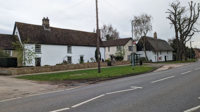
The Limes, architectural structure in Cottenham, South Cambridgeshire, Cambridgeshire, UK
Emplacement : Cottenham
Coordonnées GPS : 52.28298,0.12250
Dernière mise à jour : 9 mars 2025 à 13:32
Rampton Castle
2 km
Church of St Andrew
3.9 km
Parish Church of All Saints
3.3 km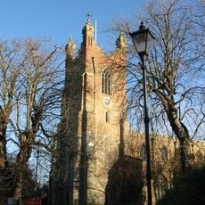
Church of All Saints
1.7 km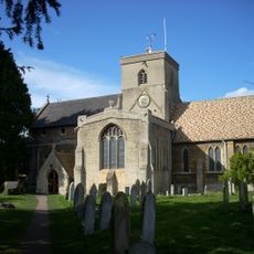
Parish Church of St Andrew
3.4 km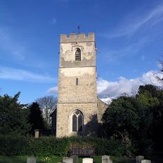
Church of All Saints
2.3 km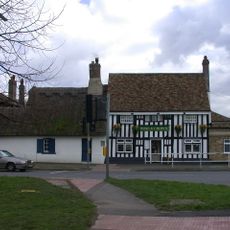
Rose And Crown
3.6 km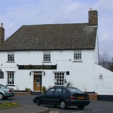
Chequers Public House
321 m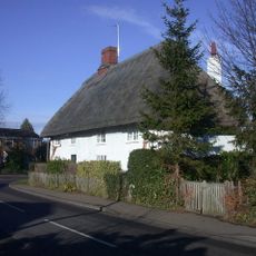
Stone Corner Cottage
3.1 km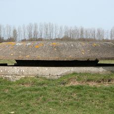
Eight Cantilevered Pillboxes At The Former Raf Oakington
3.4 km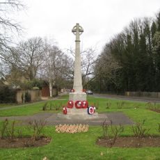
War Memorial
4 km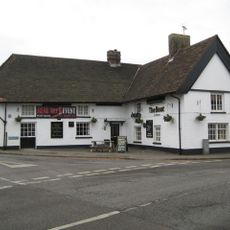
The Boot
3.7 km
King William IV Public House
3.4 km
Pond Farmhouse
1 km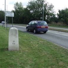
Milestone Half Mile North Of Goose Hall At Ngr 485 679
3.7 km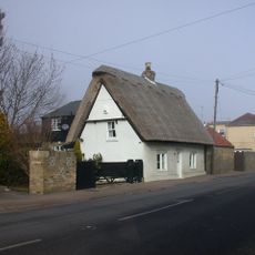
White Cottage
1.2 km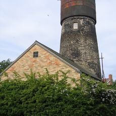
Tower Mill
543 m
Glebe Cottage
3.7 km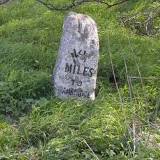
Milestone Half Mile South Of Green End Junction And Goose Hall At Ngr 484 664
3.6 km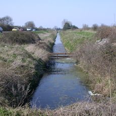
Length of Car Dyke between Green End and Top Moor
3.2 km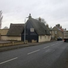
34, High Street
3.6 km
56, Denmark Road
557 m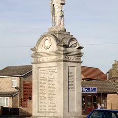
Cottenham War Memorial
296 m
1 and 3, the Green
3.6 km
Bell House
3.4 km
337 And 339, High Street
37 m
Tithe Barn The East Of Number 14 (The Old Rectory)
3.4 km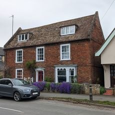
324, High Street
82 mAvis
Vous avez visité ce lieu ? Touchez les étoiles pour le noter et partager votre expérience ou vos photos avec la communauté ! Essayez maintenant ! Vous pouvez annuler à tout moment.
Trouvez des trésors cachés à chaque coin de rue !
Des petits cafés pittoresques aux points de vue planqués, fuyez la foule et dénichez les lieux qui vous ressemblent vraiment. Notre app vous facilite la vie : recherche vocale, filtres malins, itinéraires optimisés et bons plans partagés par des voyageurs du monde entier. Téléchargez vite pour vivre l'aventure en version mobile !

Une approche inédite de la découverte touristique❞
— Le Figaro
Tous les lieux qui valent la peine d'être explorés❞
— France Info
Une excursion sur mesure en quelques clics❞
— 20 Minutes