
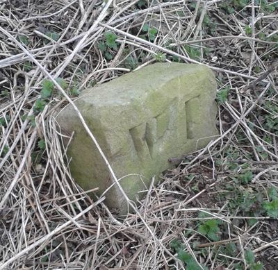
Boundary Stone At Ngr Se 871539, boundary marker in Warter, East Riding of Yorkshire, UK
Emplacement : Warter
Fait partie de : political border
Coordonnées GPS : 53.97432,-0.67337
Dernière mise à jour : 2 mars 2025 à 21:16
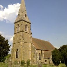
St James' Church, Warter
3.5 km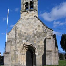
Church of Saint Giles
8.4 km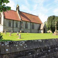
Church of Saint Mary
7.7 km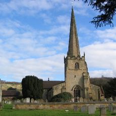
Church of St Edith
7.4 km
Church of St. Helen
6.1 km
Church of Saint James
6.6 km
Church of St Mary
5.3 km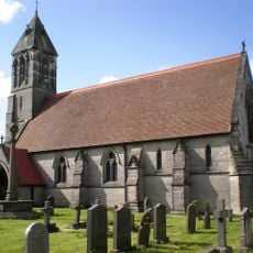
Church of St Mary
7.1 km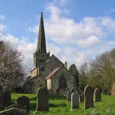
Church of St. Mary
1.9 km
Church of Saint Ethelburgh
5.8 km
Church of St Nicholas
8 km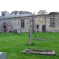
Church of St Margaret
4.6 km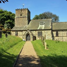
Church of All Saints
7.8 km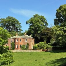
Painsthorpe Hall
7.3 km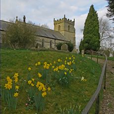
Church of All Saints
6.6 km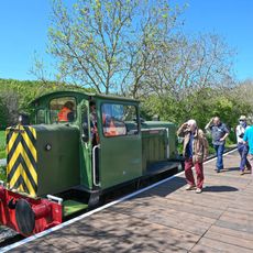
Yorkshire Wolds Railway
7.9 km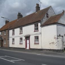
Woods Farmhouse
8.1 km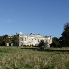
Kilnwick Percy Hall
6.1 km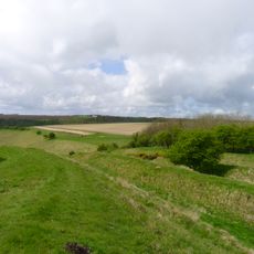
Sections of single and multiple linear boundary dykes on Huggate Pasture and Frendal Dale
2.2 km
Wetwang House
8.1 km
Manor Farmhouse
8.1 km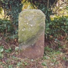
Milestone About 155 Metres West Of Brickyard Cottages
4.3 km
Milestone, W of entrance to Fimber Field Farm
6.1 km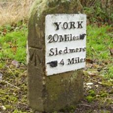
Milestone, E end of Fimber village
7.2 km
Milestone, just N of Middleton on the Wolds
8 km
Milestone, entrance to Wold House Farm (east entrance)
3.9 km
Milestone, ¾mile from Fridaythorpe on Fimber Road
5.8 km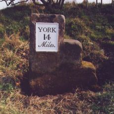
Milestone, 100m E of the Crucification memorial
7.2 kmAvis
Vous avez visité ce lieu ? Touchez les étoiles pour le noter et partager votre expérience ou vos photos avec la communauté ! Essayez maintenant ! Vous pouvez annuler à tout moment.
Trouvez des trésors cachés à chaque coin de rue !
Des petits cafés pittoresques aux points de vue planqués, fuyez la foule et dénichez les lieux qui vous ressemblent vraiment. Notre app vous facilite la vie : recherche vocale, filtres malins, itinéraires optimisés et bons plans partagés par des voyageurs du monde entier. Téléchargez vite pour vivre l'aventure en version mobile !

Une approche inédite de la découverte touristique❞
— Le Figaro
Tous les lieux qui valent la peine d'être explorés❞
— France Info
Une excursion sur mesure en quelques clics❞
— 20 Minutes