
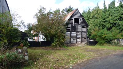
Cider House And Stable Attached To East Of The Firs, building in Tarrington, County of Herefordshire, UK
Emplacement : Tarrington
Coordonnées GPS : 52.06820,-2.54823
Dernière mise à jour : 5 mars 2025 à 22:36
Stoke Edith House
2.1 km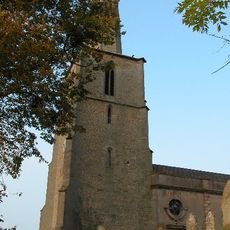
Church of St Mary
2.2 km
Church of St Lawrence
2.9 km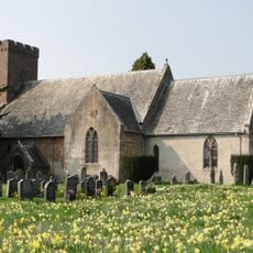
Church of St Bartholomew
1.8 km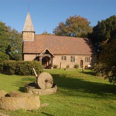
Church of St Andrew
4.3 km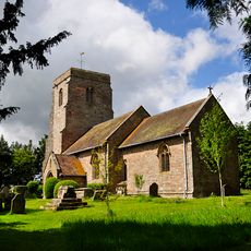
Church of St John Baptist
4.1 km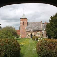
Church of St James, Castle Frome
3 km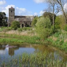
Church of St John the Baptist
2.1 km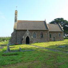
Church of St Bartholomew
3.7 km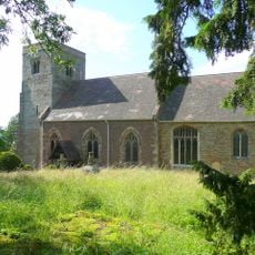
Church of St Phillip and St James
857 m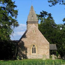
Putley Parish Church
4.2 km
Roman fort and outworks 550yds SW of Canon Frome Court
2.6 km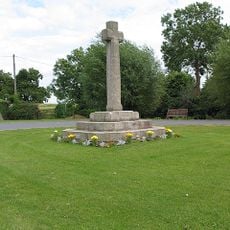
Ashperton War Memorial
2 km
Church Cottage
2.9 km
Moorend Farmhouse
1.4 km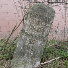
Milestone At So 634435
2.4 km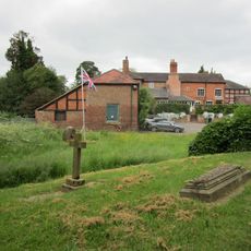
Pixley Court
4.3 km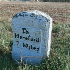
Milestone St So 603438
3.4 km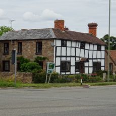
Mainstone House
3.5 km
The Steps Farmhouse
4.2 km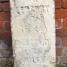
Milestone In Front Of Tarrington House
754 m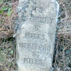
Milestone
1.2 km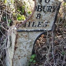
Milepost At So593246
3.3 km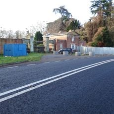
Ledbury Lodge,Gate Piers And Gates Attahced To East With Brick Flanking Wall
1.7 km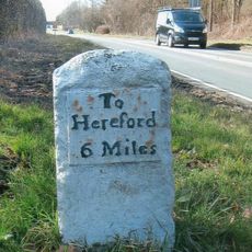
Milestone, Castle Farm at SO59224275
3.6 km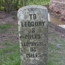
Milestone, Filling Bridge
3.2 km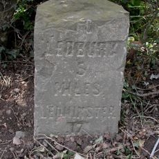
Milestone, The Castle; 50m S The Castle
2.5 km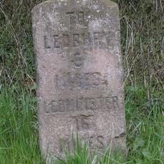
Milestone, N of village 50m N of lay-by
1.9 kmAvis
Vous avez visité ce lieu ? Touchez les étoiles pour le noter et partager votre expérience ou vos photos avec la communauté ! Essayez maintenant ! Vous pouvez annuler à tout moment.
Trouvez des trésors cachés à chaque coin de rue !
Des petits cafés pittoresques aux points de vue planqués, fuyez la foule et dénichez les lieux qui vous ressemblent vraiment. Notre app vous facilite la vie : recherche vocale, filtres malins, itinéraires optimisés et bons plans partagés par des voyageurs du monde entier. Téléchargez vite pour vivre l'aventure en version mobile !

Une approche inédite de la découverte touristique❞
— Le Figaro
Tous les lieux qui valent la peine d'être explorés❞
— France Info
Une excursion sur mesure en quelques clics❞
— 20 Minutes