
Open Fronted Shelter Sheds Circa 40 Metres West Of Dilleys Farmhouse
Open Fronted Shelter Sheds Circa 40 Metres West Of Dilleys Farmhouse, building in Baunton, Cotswold, Gloucestershire, UK
Emplacement : Baunton
Coordonnées GPS : 51.75514,-1.94163
Dernière mise à jour : 27 octobre 2025 à 08:35

Barnsley Warren
1.4 km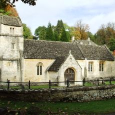
Church of St Margaret
3 km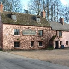
Bathurst Arms
2.7 km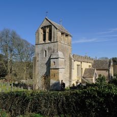
Church of All Saints
2.7 km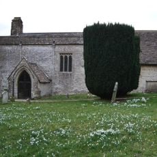
Church of St Mary Magdalene
2.5 km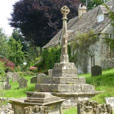
Cross and cross shaft base in the churchyard of the Church of All Saints, circa 9 metres south of the south porch
2.7 km
Group of 35 17th to 18th century monuments in the churchyard of the Church of All Saints, west of the path to Church Cottage as far as the Henry Baldwin Monument
2.7 km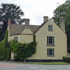
The Bear
2.2 km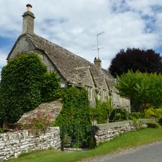
Church Cottage
2.7 km
Pair of monuments in the churchyard of the Church Of All Saints, circa 18 metres south of the south porch
2.7 km
Two monuments in the churchyard of the Church Of St Margaret circa 1 and 1/2 to 3 metres south east of the porch
3 km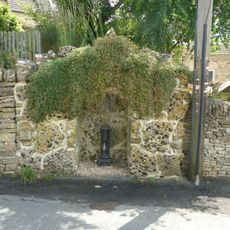
Water pump and water pump recess opposite Elmlea
2.7 km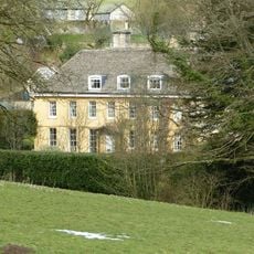
The Old Rectory
2.8 km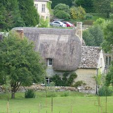
Thatch Cottage
3 km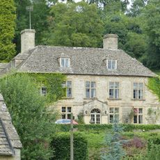
Bagendon Manor or Manor Farm
3 km
Row of 3 monuments in the churchyard of the Church of All Saints circa 6 and 1/2 metres south east of the chancel
2.7 km
Stockwell Monument in the churchyard of the Church of All Saints, circa 6 metres west of the porch
2.7 km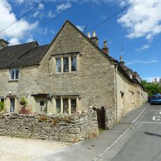
Elmlea
2.7 km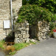
Pump and pump recess circa 10 metres south east of Granny Mabbett's Corner
2.7 km
Stableblock circa 50 metres north of Manor Farm
2.7 km
Manor Farm
2.7 km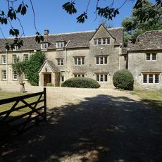
Baunton Mill
2.7 km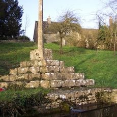
Cross shaft and cross shaft base circa 40 metres south of Number 59
2.4 km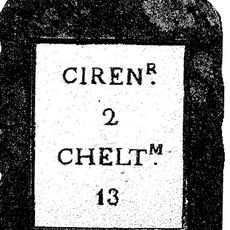
Milestone
2.2 km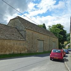
Double barn circa 50 metres north of Manor Farm
2.7 km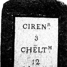
Milestone
1.9 km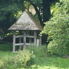
Lychgate on the northern boundary of the churchyard of the Church of All Saints
2.8 km
Cerney House Gardens
2.9 kmAvis
Vous avez visité ce lieu ? Touchez les étoiles pour le noter et partager votre expérience ou vos photos avec la communauté ! Essayez maintenant ! Vous pouvez annuler à tout moment.
Trouvez des trésors cachés à chaque coin de rue !
Des petits cafés pittoresques aux points de vue planqués, fuyez la foule et dénichez les lieux qui vous ressemblent vraiment. Notre app vous facilite la vie : recherche vocale, filtres malins, itinéraires optimisés et bons plans partagés par des voyageurs du monde entier. Téléchargez vite pour vivre l'aventure en version mobile !

Une approche inédite de la découverte touristique❞
— Le Figaro
Tous les lieux qui valent la peine d'être explorés❞
— France Info
Une excursion sur mesure en quelques clics❞
— 20 Minutes