
Former Stable And Granary With Attached Cart Shed At Coxe's Farm
Former Stable And Granary With Attached Cart Shed At Coxe's Farm, stable in Cherington, Cotswold, Gloucestershire, UK
Emplacement : Cherington
Coordonnées GPS : 51.68769,-2.13853
Dernière mise à jour : 9 mars 2025 à 08:57
Gatcombe Park
2.5 km
Rodmarton Manor
3.9 km
Church of the Holy Cross, Avening
2.7 km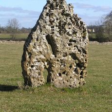
Longstone of Minchinhampton
2.4 km
Box Farm Meadows SSSI
4.1 km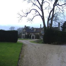
Trull House
2.8 km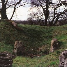
Windmill Tump
3.1 km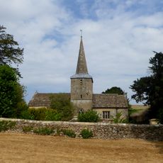
Church of St Peter
3.8 km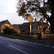
The Ragged Cot Inn
3 km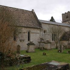
Church of St Nicholas
337 m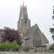
Church of the Holy Trinity
3.9 km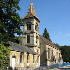
Christ Church
4 km
RMC: The cave
3.9 km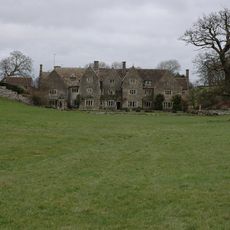
Hazleton Manor Farmhouse
2.5 km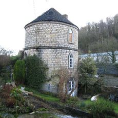
Canal Round House
3.9 km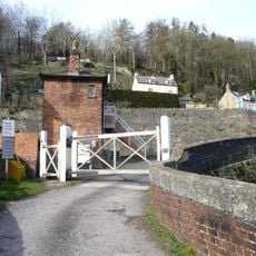
Signal Box At Brimscombe St Mary's Crossing
4 km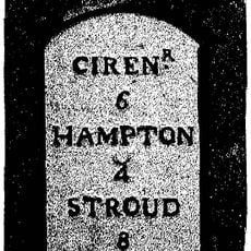
Milestone
4 km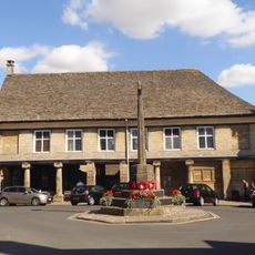
Market House
3.8 km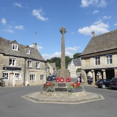
Minchinhampton War Memorial
3.8 km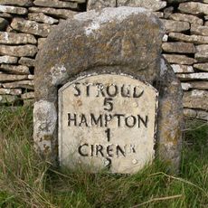
Milestone
3.2 km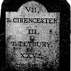
Milestone
3.3 km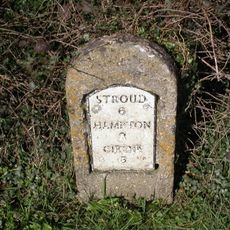
Milestone
2.7 km
Crossing Gates At Brimscombe St Mary's Crossing
4 km
Milestone, S of Hampton Fields; N edge golf course
2.1 km
Milestone, Tetbury Hill, S village
2.5 km
Milestone, Gatcombe
3 km
Milestone, 150yds E of Trouble House Inn, standing against drystone wall.
3.5 km
Milestone, Longtree
3.8 kmAvis
Vous avez visité ce lieu ? Touchez les étoiles pour le noter et partager votre expérience ou vos photos avec la communauté ! Essayez maintenant ! Vous pouvez annuler à tout moment.
Trouvez des trésors cachés à chaque coin de rue !
Des petits cafés pittoresques aux points de vue planqués, fuyez la foule et dénichez les lieux qui vous ressemblent vraiment. Notre app vous facilite la vie : recherche vocale, filtres malins, itinéraires optimisés et bons plans partagés par des voyageurs du monde entier. Téléchargez vite pour vivre l'aventure en version mobile !

Une approche inédite de la découverte touristique❞
— Le Figaro
Tous les lieux qui valent la peine d'être explorés❞
— France Info
Une excursion sur mesure en quelques clics❞
— 20 Minutes