
15 And 16, A433, building in Barnsley, Cotswold, Gloucestershire, UK
Emplacement : Barnsley
Coordonnées GPS : 51.74418,-1.89041
Dernière mise à jour : 2 septembre 2025 à 19:56
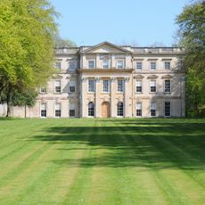
Barnsley Park
860 m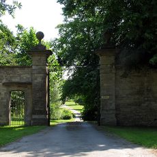
Ampney Park
3.4 km
Barnsley Warren
2.5 km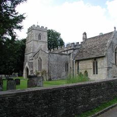
Church of the Holy Rood
3.4 km
Winson Meadows
3.5 km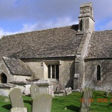
Church of St Mary
3.5 km
Church of St Peter
3.6 km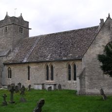
Church of St Mary
75 m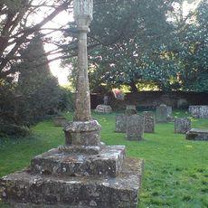
Cross in Churchyard of Church of the Holy Rood
3.4 km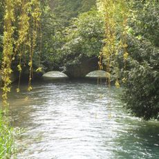
Bridge Over River Coln Approximately 80 Meters West Of Ablington Manor
3.6 km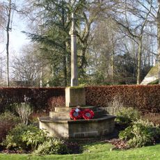
Ampney Crucis War Memorial
3.4 km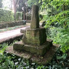
Wayside Cross at Ampney Crucis
3.3 km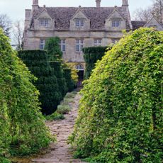
Barnsley House
132 m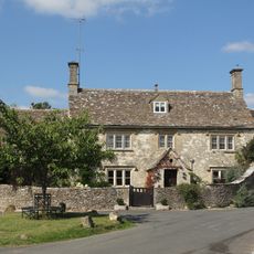
Cleeve House
3.6 km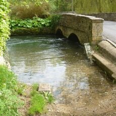
Bridge Over River Coln Approximately 30 Metres East Of Bridge House
3.6 km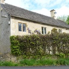
Bridge House
3.6 km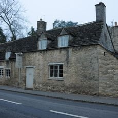
The Village Pub
52 m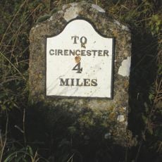
Milestone On Former Akeman Street
1.4 km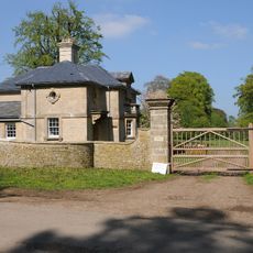
Lodge At South West Corner Of Estate
387 m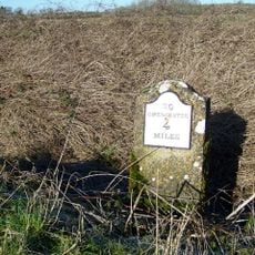
Milestone, Lower Field Farm; opp. farm
1.4 km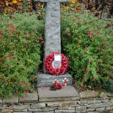
Barnsley War Memorial, Gloucestershire
82 m
Milestone, Glebe Farm
1.7 km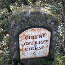
Milestone, E of jct A417
3.2 km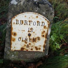
Milestone, Poultmoor Farm; opp. farm
1.2 km
Milestone, near Five ways, Arlington
2.8 km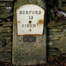
Milestone, Barnsley village
86 m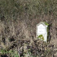
Milestone, W of Ready Token
2.2 km
Milestone, W of entrance to Ampney Park.
3.6 kmAvis
Vous avez visité ce lieu ? Touchez les étoiles pour le noter et partager votre expérience ou vos photos avec la communauté ! Essayez maintenant ! Vous pouvez annuler à tout moment.
Trouvez des trésors cachés à chaque coin de rue !
Des petits cafés pittoresques aux points de vue planqués, fuyez la foule et dénichez les lieux qui vous ressemblent vraiment. Notre app vous facilite la vie : recherche vocale, filtres malins, itinéraires optimisés et bons plans partagés par des voyageurs du monde entier. Téléchargez vite pour vivre l'aventure en version mobile !

Une approche inédite de la découverte touristique❞
— Le Figaro
Tous les lieux qui valent la peine d'être explorés❞
— France Info
Une excursion sur mesure en quelques clics❞
— 20 Minutes