
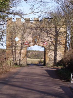
Gateway Spanning Road To North Of Craster Tower, gate in Craster, Northumberland, UK
Emplacement : Craster
Coordonnées GPS : 55.47009,-1.60489
Dernière mise à jour : 16 mars 2025 à 13:23
Château de Dunstanburgh
2.2 km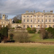
Howick Hall
2.4 km
Howick House
3.1 km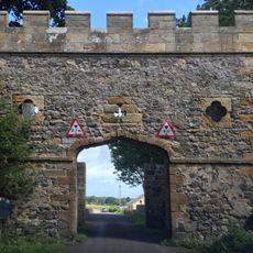
Craster Tower
97 m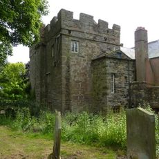
Embleton Tower
3.4 km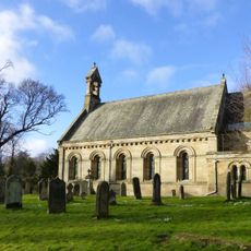
Church of St Michael and All Angels
2.3 km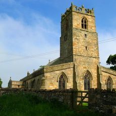
Church of the Holy Trinity, Embleton
3.5 km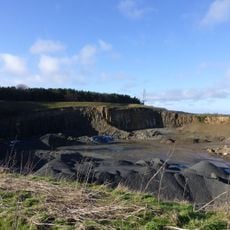
Longhoughton Quarry
4.8 km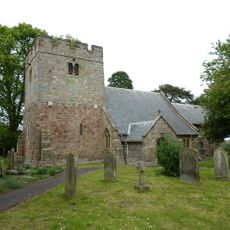
Church of Saints Peter and Paul
4.6 km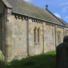
Church of Saints Philip and James
4.9 km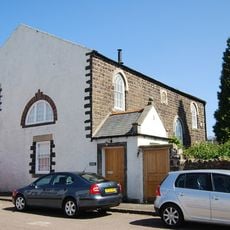
Embleton United Reformed Church
3.5 km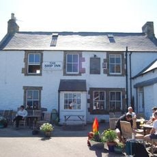
Ship Inn
5 km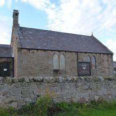
St Peter the Fisherman
736 m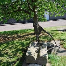
Village Pump
3.5 km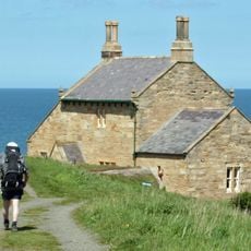
The Bathing House
2.4 km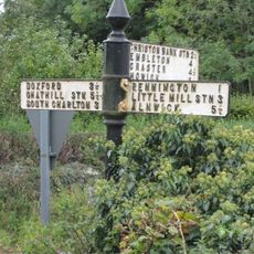
Signpost At Road Junction South Of Rock Farm
4.6 km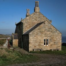
Outbuilding South West Of The Bathing House
2.4 km
Defended settlement, 600m south east of Red Stead
3.4 km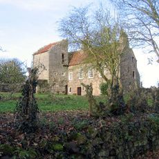
Dunstan Hall
522 m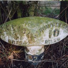
Mile Post 400 Metres South Of Renington South East Farm
4.2 km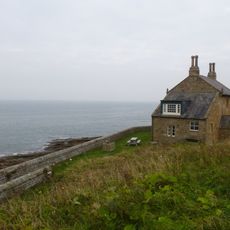
Wall And Steps To East Of The Bathing House
2.4 km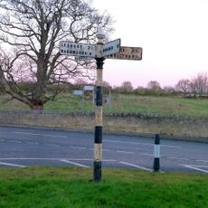
Signpost At Juntion With Station Road
4.8 km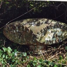
Mile Post 700 Metres North Of Prickly Bridge
4.4 km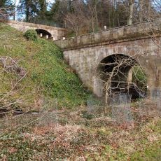
Road Bridge And Footbridge 320 Metres South East Of Howick Hall
2.4 km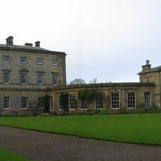
Stableyard Buildings At East End Of Howick Hall
2.1 km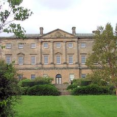
Howick Hall Centre Block And Link Galleries
2.2 km
Howick Hall West Wing
2.2 km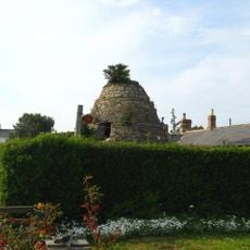
Dovecote at rear of Number 4
3.2 kmAvis
Vous avez visité ce lieu ? Touchez les étoiles pour le noter et partager votre expérience ou vos photos avec la communauté ! Essayez maintenant ! Vous pouvez annuler à tout moment.
Trouvez des trésors cachés à chaque coin de rue !
Des petits cafés pittoresques aux points de vue planqués, fuyez la foule et dénichez les lieux qui vous ressemblent vraiment. Notre app vous facilite la vie : recherche vocale, filtres malins, itinéraires optimisés et bons plans partagés par des voyageurs du monde entier. Téléchargez vite pour vivre l'aventure en version mobile !

Une approche inédite de la découverte touristique❞
— Le Figaro
Tous les lieux qui valent la peine d'être explorés❞
— France Info
Une excursion sur mesure en quelques clics❞
— 20 Minutes