
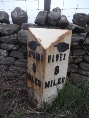
Mile Stone Approximately 200 Metres West Of Parish Boundary
Mile Stone Approximately 200 Metres West Of Parish Boundary, milestone in Thornton Rust, Richmondshire, North Yorkshire, UK
Emplacement : Thornton Rust
Création : 19e siècle
Coordonnées GPS : 54.29664,-2.01727
Dernière mise à jour : 6 mars 2025 à 11:31
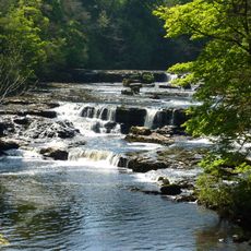
Aysgarth Falls
2.3 km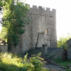
Nappa Hall
3 km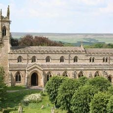
Church of Saint Andrew
2.3 km
Castle Dykes Henge
1.9 km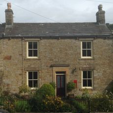
Post Office
1.6 km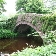
Burton Bridge
3.5 km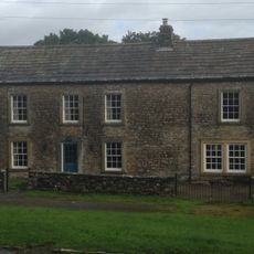
Manor Farmhouse
1.6 km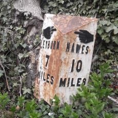
Milestone, Heads Bank, Aysgarth
2.8 km
Manor House
1.7 km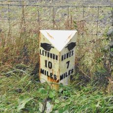
Mile Stone Approximately 100 Metres West Of Wauley Beck
1.6 km
Havenhurst
1.5 km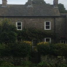
Yoredale
1.6 km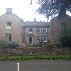
Thornton Hall
1.7 km
The Coach House And Stable Cottage To The North East Of The Grange
3.4 km
Flanders Hall
3.5 km
Wensleydale Cottage And Attached Outbuilding
3.6 km
Stables At Flanders Hall
3.5 km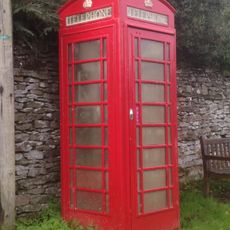
K6 Telephone Kiosk Oppposite Manor Farm House
1.6 km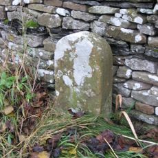
Boundary Stone
3.3 km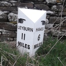
Mile Post Approximately 300 Metres East Of Victoria Arms Public House
3 km
Yore Mill
2.2 km
The Grange
3.5 km
Carperby market cross
1.8 km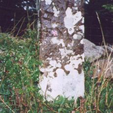
Boundary Stone Approximately 6 Metres North Of Tomgill Bridge
2.1 km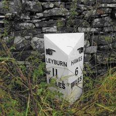
Milestone, Worton
3 km
Guidestone, Aysgarth to Thoralby road
2.1 km
Milestone, Thoralby, Humphrey Hill
2.5 km
Milestone, Woodhall between Carperby and Askrigg
1.9 kmAvis
Vous avez visité ce lieu ? Touchez les étoiles pour le noter et partager votre expérience ou vos photos avec la communauté ! Essayez maintenant ! Vous pouvez annuler à tout moment.
Trouvez des trésors cachés à chaque coin de rue !
Des petits cafés pittoresques aux points de vue planqués, fuyez la foule et dénichez les lieux qui vous ressemblent vraiment. Notre app vous facilite la vie : recherche vocale, filtres malins, itinéraires optimisés et bons plans partagés par des voyageurs du monde entier. Téléchargez vite pour vivre l'aventure en version mobile !

Une approche inédite de la découverte touristique❞
— Le Figaro
Tous les lieux qui valent la peine d'être explorés❞
— France Info
Une excursion sur mesure en quelques clics❞
— 20 Minutes