
Limekilns Circa 100 Metres South Of Haig Street, lime kiln in Ferryhill, County Durham, UK
Emplacement : Ferryhill
Coordonnées GPS : 54.67764,-1.53250
Dernière mise à jour : 3 novembre 2025 à 19:01
Windlestone Hall
4.8 km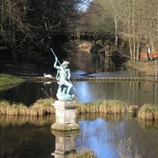
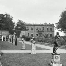
Hardwick Hall Country Park
4.8 km
Hardwick Hall Hotel
4.8 km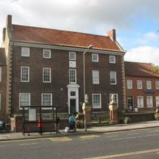
The Manor House
5.9 km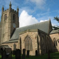
Church of St Edmund
6 km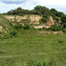
Bishop Middleham Quarry
3.2 km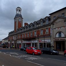
Spennymoor Town Hall
5.1 km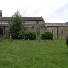
Church of St Michael and All Angels
2.6 km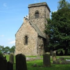
Church of St. John the Evangelist
4 km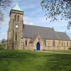
Church of St Paul
5.3 km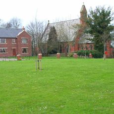
Church of the Holy Trinity
3.2 km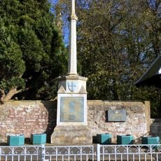
War Memorial, 40 Metres West of Church of St Edmund
6 km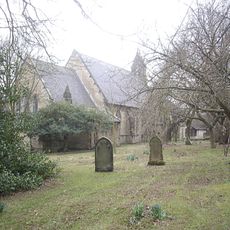
Church of St Luke
1.8 km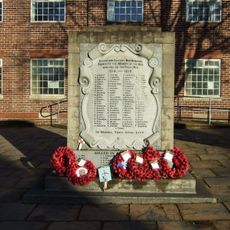
Coxhoe War Memorial
4.7 km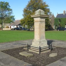
Tudhoe War Memorial
5.7 km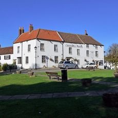
Crosshill Hotel
6 km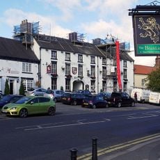
Hardwick Arms Hotel
5.8 km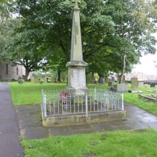
Kirk Merrington War Memorial
4 km
Nss Newsagents
6 km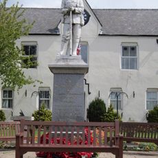
Ferryhill War Memorial
2 km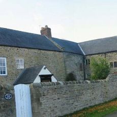
Tudhoe Hall Farm And Tudhoe Hall
6 km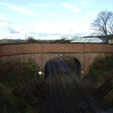
Road Bridge, 15 Metres South Of The Former Sedgefield Railway Station
4.2 km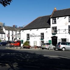
Black Lion Public House And Former Stable Wing
5.9 km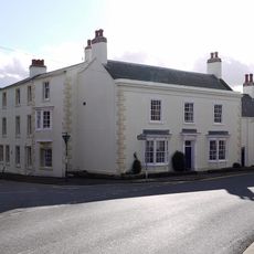
Sedgefield House
5.9 km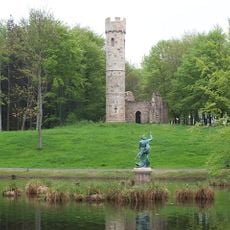
Gothick Gatehouse To Hardwick Park
5.1 km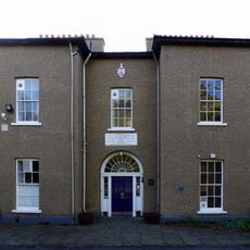
Ceddesfeld Hall
6.1 km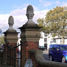
Gate Piers, 10 Metres East Of Magistrate's Court House
5.9 km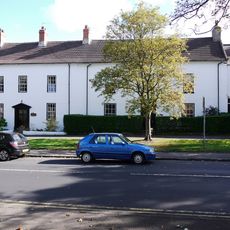
The White House
5.8 kmAvis
Vous avez visité ce lieu ? Touchez les étoiles pour le noter et partager votre expérience ou vos photos avec la communauté ! Essayez maintenant ! Vous pouvez annuler à tout moment.
Trouvez des trésors cachés à chaque coin de rue !
Des petits cafés pittoresques aux points de vue planqués, fuyez la foule et dénichez les lieux qui vous ressemblent vraiment. Notre app vous facilite la vie : recherche vocale, filtres malins, itinéraires optimisés et bons plans partagés par des voyageurs du monde entier. Téléchargez vite pour vivre l'aventure en version mobile !

Une approche inédite de la découverte touristique❞
— Le Figaro
Tous les lieux qui valent la peine d'être explorés❞
— France Info
Une excursion sur mesure en quelques clics❞
— 20 Minutes