
Souldrop Village Hall And Adjoining House, building in Knotting and Souldrop, Bedford, Bedfordshire, UK
Emplacement : Knotting and Souldrop
Coordonnées GPS : 52.24426,-0.55678
Dernière mise à jour : 3 mars 2025 à 04:10

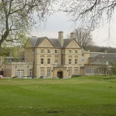
Colworth House
1.6 km
Odell Great Wood
4 km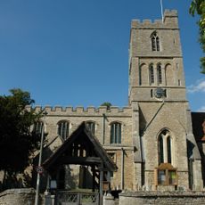
Church of St Mary, Felmersham
3.8 km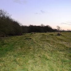
Wymington Meadow
3.2 km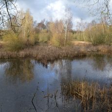
Felmersham Gravel Pits
3.2 km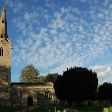
Church of St Peter, Sharnbrook
2.2 km
Church of St Margaret, Knotting, Bedfordshire
2.4 km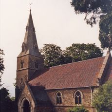
Church of All Saints
156 m
Sun Inn
4.1 km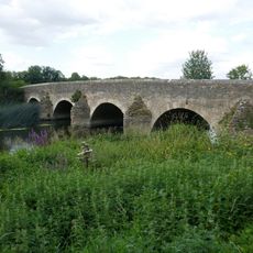
Felmersham Bridge
3.8 km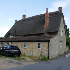
Six Ringers Inn
4 km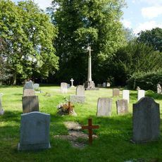
Souldrop War Memorial
127 m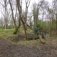
Moated site in Castle Close
2.1 km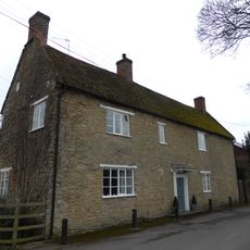
College Farmhouse
3.9 km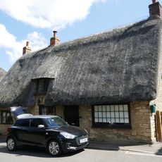
Little Thatch
2.2 km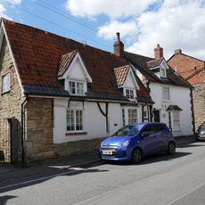
42, High Street
2.3 km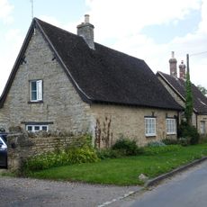
Meadowcroft
113 m
Tithe Barn
3.9 km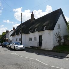
28-32, High Street
2.3 km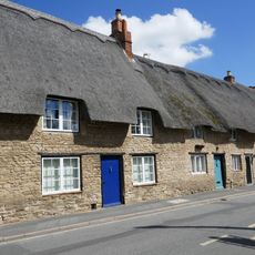
49, High Street
2.3 km
The Old Farmhouse
4 km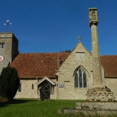
Knotting War Memorial
2.4 km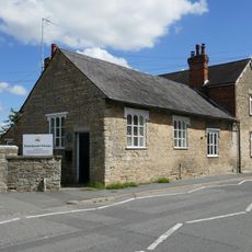
37, High Street
2.3 km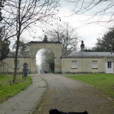
Twin Lodges And Connecting Archway
2 km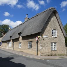
61, High Street
2.2 km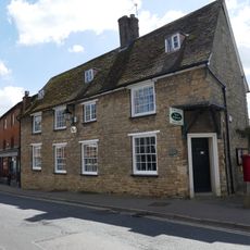
48, High Street
2.2 km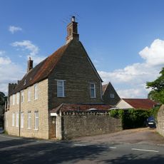
The Old Rectory And Rectory Cottage
3.9 km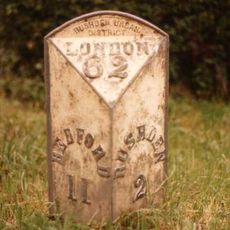
Milepost, NW of Benford Grange
2.3 kmAvis
Vous avez visité ce lieu ? Touchez les étoiles pour le noter et partager votre expérience ou vos photos avec la communauté ! Essayez maintenant ! Vous pouvez annuler à tout moment.
Trouvez des trésors cachés à chaque coin de rue !
Des petits cafés pittoresques aux points de vue planqués, fuyez la foule et dénichez les lieux qui vous ressemblent vraiment. Notre app vous facilite la vie : recherche vocale, filtres malins, itinéraires optimisés et bons plans partagés par des voyageurs du monde entier. Téléchargez vite pour vivre l'aventure en version mobile !

Une approche inédite de la découverte touristique❞
— Le Figaro
Tous les lieux qui valent la peine d'être explorés❞
— France Info
Une excursion sur mesure en quelques clics❞
— 20 Minutes