
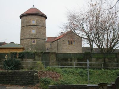
Windmill Tower To West Of St Michael's Church, building in South Normanton, Bolsover, Derbyshire, UK
Emplacement : South Normanton
Coordonnées GPS : 53.10816,-1.34175
Dernière mise à jour : 6 mars 2025 à 17:28
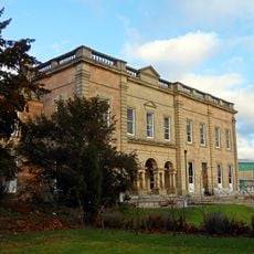
Alfreton Hall
3.7 km
Carnfield Hall
1.8 km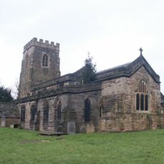
St. Helen's Church, Selston
4 km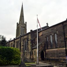
Church of St James
4.4 km
St Peter's Church, Stonebroom
3.8 km
All Saints' Church, Huthwaite
3.4 km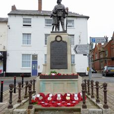
War Memorial and Railings
3.5 km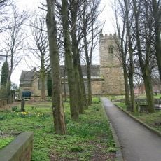
Church of St Michael
62 m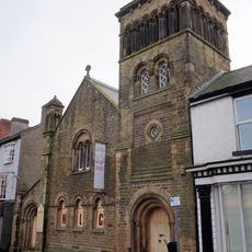
Wycliffe Reform Church
3.5 km
Church of St John the Baptist
3.9 km
Church of St Martin, Alfreton
3.6 km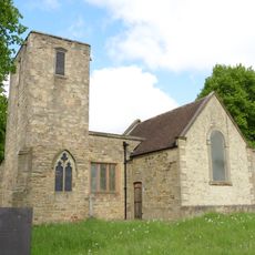
Church of St Helen
2.3 km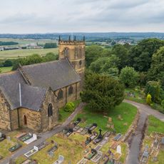
Church of St Werburgh
1.4 km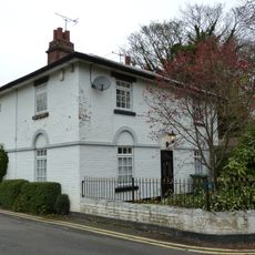
12, Church Street
3.6 km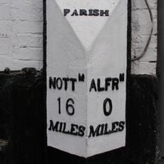
Milepost Abutting Church Street Front Of George Street
3.5 km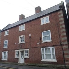
17, Church Street
3.5 km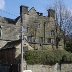
Newton Old Hall
2.3 km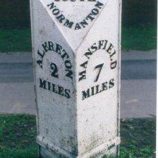
Milepost At Sk 443 562
857 m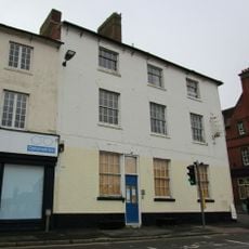
George Hotel
3.5 km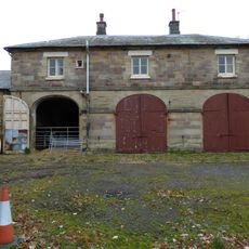
Former Stableblock To Alfreton Hall
3.7 km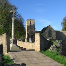
Pinxton War Memorial Cross
2.3 km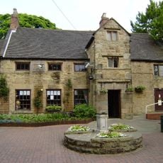
Alfreton House
3.1 km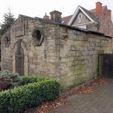
House Of Confinement
3.7 km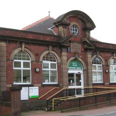
Huthwaite Library
3.6 km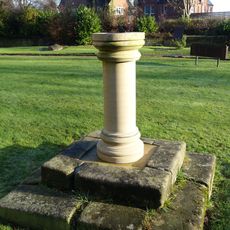
Sundial 15 Metres South East Of Porch To St Martin's Porch
3.6 km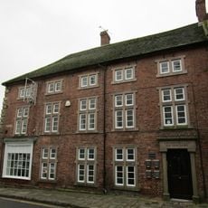
2, King Street
3.5 km
Barn Adjoining Number 16
3.5 km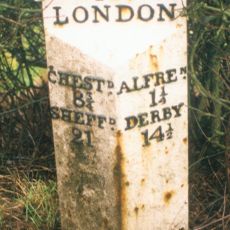
Milepost, roadside at SK404579
3.9 kmAvis
Vous avez visité ce lieu ? Touchez les étoiles pour le noter et partager votre expérience ou vos photos avec la communauté ! Essayez maintenant ! Vous pouvez annuler à tout moment.
Trouvez des trésors cachés à chaque coin de rue !
Des petits cafés pittoresques aux points de vue planqués, fuyez la foule et dénichez les lieux qui vous ressemblent vraiment. Notre app vous facilite la vie : recherche vocale, filtres malins, itinéraires optimisés et bons plans partagés par des voyageurs du monde entier. Téléchargez vite pour vivre l'aventure en version mobile !

Une approche inédite de la découverte touristique❞
— Le Figaro
Tous les lieux qui valent la peine d'être explorés❞
— France Info
Une excursion sur mesure en quelques clics❞
— 20 Minutes