
Weir Between River Frome And Kemmett Canal, building in Eastington, Stroud, Gloucestershire, UK
Emplacement : Eastington
Coordonnées GPS : 51.74943,-2.31414
Dernière mise à jour : 4 avril 2025 à 04:58
Leonard Stanley Priory
3 km
Main Building At Stanley Mills
3.1 km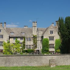
Stonehouse Court Hotel
1.6 km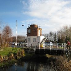
The Gatehouse at Bonds Mill
1 km
Five Acre Grove
1.5 km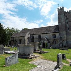
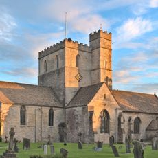
Church of St Michael and Angels
163 m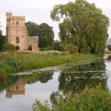
Church of St Cyr, Stonehouse
1.7 km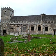
Church of St George
3 km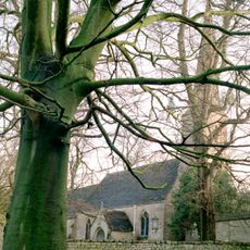
Church of St Nicholas
3.2 km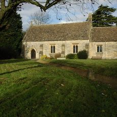
Church of St Andrew
2.5 km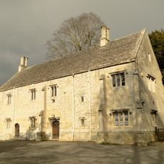
Church House
3.2 km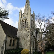
Wycliffe College Chapel Spire
2.4 km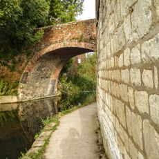
Nutshell Bridge
1.8 km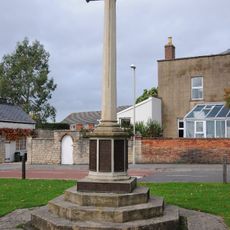
Stonehouse War Memorial
2.1 km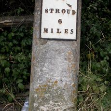
Milestone
2 km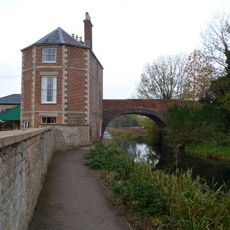
Nutshell House
1.8 km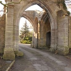
Almory Gateway or Gatehouse
3.2 km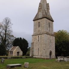
Remains of former Church of St Peter including tower and porch
2.7 km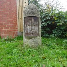
Milestone
1.1 km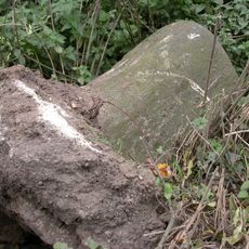
Milestone
2.9 km
Frocester Court
2.8 km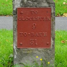
Milestone
2.1 km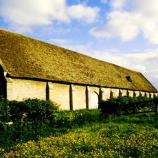
Tithe Barn Approximately 80m West Of Frocester Court
2.8 km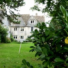
Bridgend House
2.2 km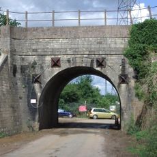
Railway Underpass Bridge
1.5 km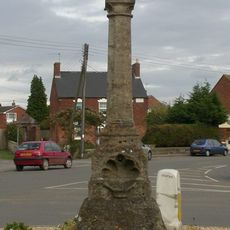
Direction Post
1 km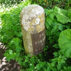
Milestone, Newtown, by side of Stroudwater, beyond New Inn
503 m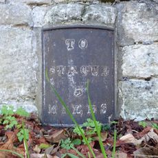
Milestone, Rectory
583 mAvis
Vous avez visité ce lieu ? Touchez les étoiles pour le noter et partager votre expérience ou vos photos avec la communauté ! Essayez maintenant ! Vous pouvez annuler à tout moment.
Trouvez des trésors cachés à chaque coin de rue !
Des petits cafés pittoresques aux points de vue planqués, fuyez la foule et dénichez les lieux qui vous ressemblent vraiment. Notre app vous facilite la vie : recherche vocale, filtres malins, itinéraires optimisés et bons plans partagés par des voyageurs du monde entier. Téléchargez vite pour vivre l'aventure en version mobile !

Une approche inédite de la découverte touristique❞
— Le Figaro
Tous les lieux qui valent la peine d'être explorés❞
— France Info
Une excursion sur mesure en quelques clics❞
— 20 Minutes