
Charlham Bridge At Ngr Su 082999, bridge in Driffield, Cotswold, Gloucestershire, UK
Emplacement : Driffield
Coordonnées GPS : 51.69824,-1.88247
Dernière mise à jour : 4 juin 2025 à 15:41
Ampney Park
2.6 km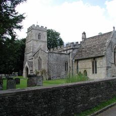
Church of the Holy Rood
2.6 km
Red Lion
1.6 km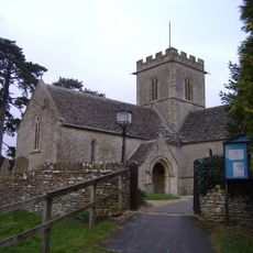
Church of St Mary the Virgin, Meysey Hampton
3.5 km
Wildmoorway Meadows
3 km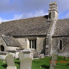
Church of St Mary
1.7 km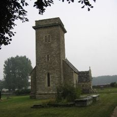
Church of St Mary
777 m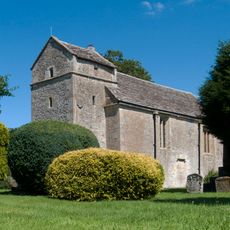
Church of St Peter
1.6 km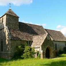
Church of St Michael
1.4 km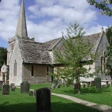
Church of All Saints
3.8 km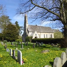
Church of St Michael and All Angels
1.8 km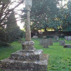
Cross in Churchyard of Church of the Holy Rood
2.6 km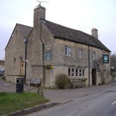
The Masons Arms
3.7 km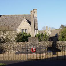
Poulton War Memorial
2.1 km
Letterbox Cottage Pear Tree Cottage
3.8 km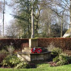
Ampney Crucis War Memorial
2.4 km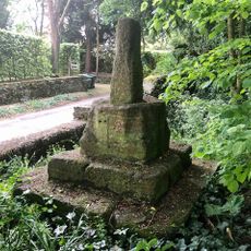
Wayside Cross at Ampney Crucis
2.5 km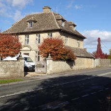
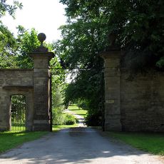
The Manor House And Gatepiers
2.1 km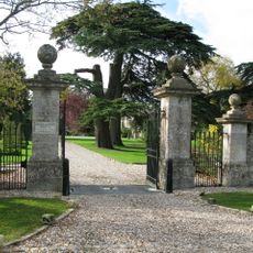
Down Ampney House
3.7 km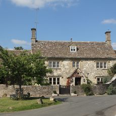
Cleeve House
1.5 km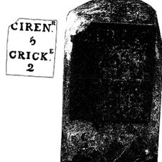
Milestone By Westfield Farm
3.6 km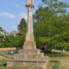
Village cross
3.3 km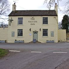
The Falcon
2.1 km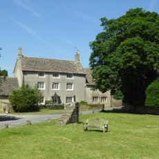
Villars Farmhouse
3.7 km
Ranbury Ring
1.3 km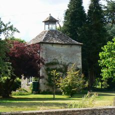
The Manor House
1.3 km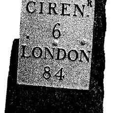
Milestone, opp. Marston Meysey Caravan Park; E of bus shelter.
3.3 km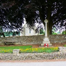
Driffield War Memorial, Gloucestershire
819 mAvis
Vous avez visité ce lieu ? Touchez les étoiles pour le noter et partager votre expérience ou vos photos avec la communauté ! Essayez maintenant ! Vous pouvez annuler à tout moment.
Trouvez des trésors cachés à chaque coin de rue !
Des petits cafés pittoresques aux points de vue planqués, fuyez la foule et dénichez les lieux qui vous ressemblent vraiment. Notre app vous facilite la vie : recherche vocale, filtres malins, itinéraires optimisés et bons plans partagés par des voyageurs du monde entier. Téléchargez vite pour vivre l'aventure en version mobile !

Une approche inédite de la découverte touristique❞
— Le Figaro
Tous les lieux qui valent la peine d'être explorés❞
— France Info
Une excursion sur mesure en quelques clics❞
— 20 Minutes