
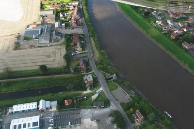
Sluice And Road Bridge At Outfall Of Snow Sewer/Warping Drain Into The River Trent
Sluice And Road Bridge At Outfall Of Snow Sewer/Warping Drain Into The River Trent, sluice and road bridge in Owston Ferry, North Lincolnshire, Lincolnshire, UK
Emplacement : Owston Ferry
Coordonnées GPS : 53.48547,-0.77514
Dernière mise à jour : 23 septembre 2025 à 17:56
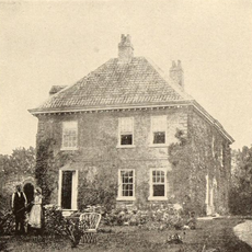
Epworth Old Rectory
5.1 km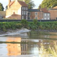
Trent Aegir
4.9 km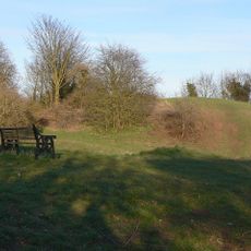
Owston Ferry Castle
1.2 km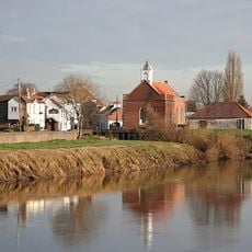
St Mary the Virgin's Church, West Stockwith
5.3 km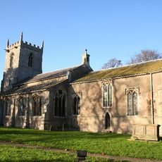
Church of St Martin
1.2 km
Wesley Memorial Church
5.5 km
Church of St Andrew
5.5 km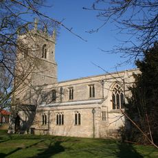
Church of All Saints
4.1 km
Church of St Nicholas
4.9 km
Church of St Peter
5.6 km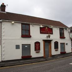
The White Bear Inn
5.6 km
The Red Lion Inn And Adjoining Stable Range
5.3 km
Church of Saint Martin
6.1 km
Post Office
5.5 km
Haxey and Westwoodside War Memorial
3.7 km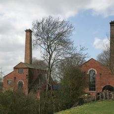
North Engine House, Walkway And Cut Waters
5.6 km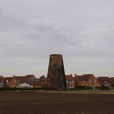
Thompson's Mill
4.9 km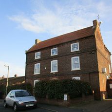
39, Front Street
5.5 km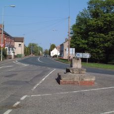
Market cross at junction of High Street, Low Street and Haxey Lane
4 km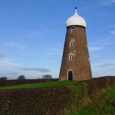
Maw's Mill Approximately 275 Metres North East Of Number 34/36 (Field House Farmhouse)
6.4 km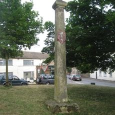
Mowbray Cross
4.6 km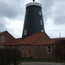
Burnham Mill
4.4 km
Number 49 Gate And Railings
5.5 km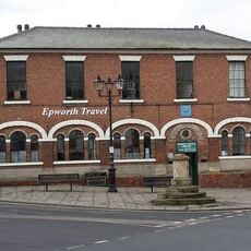
Manor Court House
5.3 km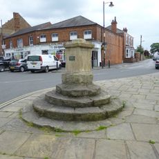
Market Cross
5.3 km
Burnham Farmhouse
4.2 km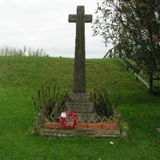
East Ferry War Memorial
184 m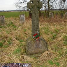
Wildsworth War Memorial
1.9 kmAvis
Vous avez visité ce lieu ? Touchez les étoiles pour le noter et partager votre expérience ou vos photos avec la communauté ! Essayez maintenant ! Vous pouvez annuler à tout moment.
Trouvez des trésors cachés à chaque coin de rue !
Des petits cafés pittoresques aux points de vue planqués, fuyez la foule et dénichez les lieux qui vous ressemblent vraiment. Notre app vous facilite la vie : recherche vocale, filtres malins, itinéraires optimisés et bons plans partagés par des voyageurs du monde entier. Téléchargez vite pour vivre l'aventure en version mobile !

Une approche inédite de la découverte touristique❞
— Le Figaro
Tous les lieux qui valent la peine d'être explorés❞
— France Info
Une excursion sur mesure en quelques clics❞
— 20 Minutes