
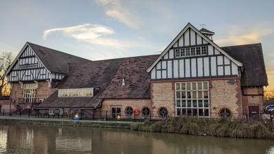
Former Well Station Of Thames Water Authority, building in Enfield, Greater London, UK
Emplacement : London Borough of Enfield
Coordonnées GPS : 51.64367,-0.02950
Dernière mise à jour : 7 mars 2025 à 22:25
Gilwell Park
2.3 km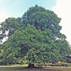
Gilwell Oak
2.2 km
Bull and Crown
2.6 km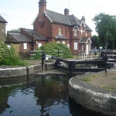
Enfield Lock
2.7 km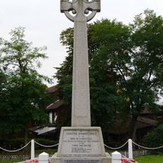
Chingford War Memorial
2.4 km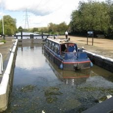
Pickett's Lock
2 km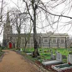
Church of St Peter and St Paul
2.5 km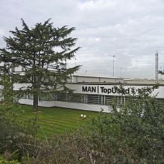
Ripaults Factory
1.7 km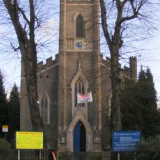
St James' Church, Enfield Highway
1.8 km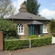
Wright's Flour Mill
268 m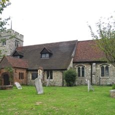
All Saints' Church
2.5 km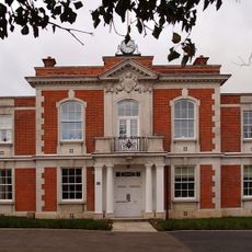
Chingford Town Hall
2.3 km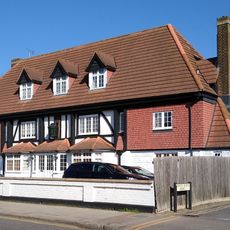
The White Horse Public House
1.7 km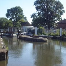
Ponder's End Lock
189 m
Our Lady of Grace and St Teresa of Avila
2.6 km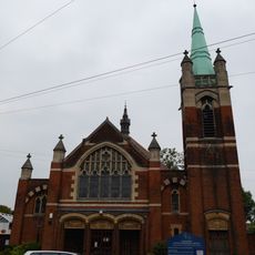
Chingford United Reformed Church
2.7 km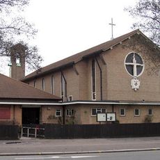
St Alphege's Church
1.5 km
Odeon Lee Valley
1.4 km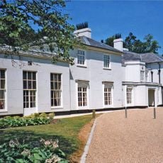
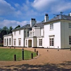
The White House, Gilwell Park
2.3 km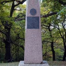
Pole Hill Obelisk
2.1 km
Cineworld Cinema & IMAX Enfield
2.6 km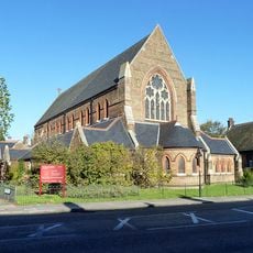
St Peter the Apostle
2.2 km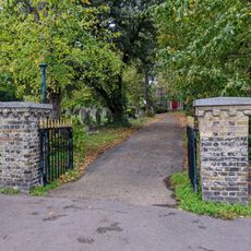
Church of St Peter and St Paul Churchyard Gate and Gatepiers (South of Church)
2.6 km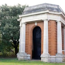
Water Tower House At King George Pumping Station
2.3 km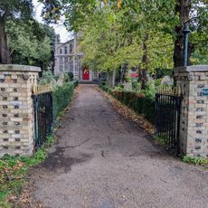
Church of St Peter and St Paul Churchyard Gates and Gatepiers (North of Church)
2.5 km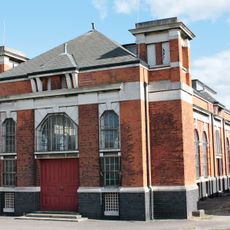
Pump House At King George Pumping Station
2.3 km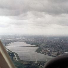
William Girling Reservoir
1.4 km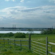
King George V Reservoir
1.2 kmVous avez visité ce lieu ? Touchez les étoiles pour le noter et partager votre expérience ou vos photos avec la communauté ! Essayez maintenant ! Vous pouvez annuler à tout moment.
Trouvez des trésors cachés à chaque coin de rue !
Des petits cafés pittoresques aux points de vue planqués, fuyez la foule et dénichez les lieux qui vous ressemblent vraiment. Notre app vous facilite la vie : recherche vocale, filtres malins, itinéraires optimisés et bons plans partagés par des voyageurs du monde entier. Téléchargez vite pour vivre l'aventure en version mobile !

Une approche inédite de la découverte touristique❞
— Le Figaro
Tous les lieux qui valent la peine d'être explorés❞
— France Info
Une excursion sur mesure en quelques clics❞
— 20 Minutes