
Greenhead Cottages And Attached Walls, building in Shotley Low Quarter, Northumberland, UK
Emplacement : Shotley Low Quarter
Coordonnées GPS : 54.86055,-1.92231
Dernière mise à jour : 15 mars 2025 à 10:15
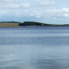
Derwent Reservoir
4 km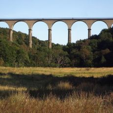
Hownsgill Viaduct
5.3 km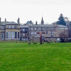
Minsteracres
4.7 km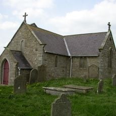
St Andrew's Church
3.5 km
Burnhope Burn
2.3 km
Shotley Hall
3.8 km
Shotley Park
4.6 km
Pow Hill Bog
4.1 km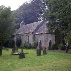
Church of St Edmund
4.1 km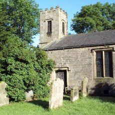
St Philip & St James
5.8 km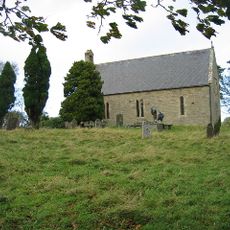
Church of All Saints
1.9 km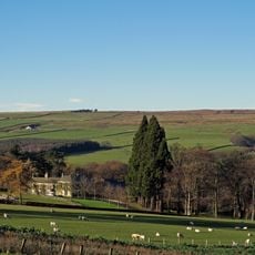
Ruffside Hall
5.7 km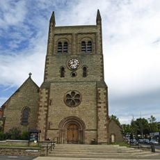
Christ Church, Consett
5.7 km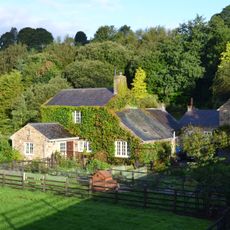
Allensford Mill Farmhouse And Adjacent Outbuildings
2.9 km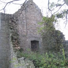
Remains Of Manor House At Priory Farm
1.8 km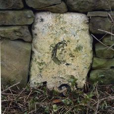
Milestone About 300 Metres South Of West Fines Wood
3.3 km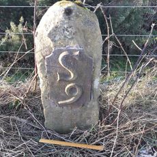
Milestone 110 Metres North Of Entrance To Eddisbridge Farm
1.2 km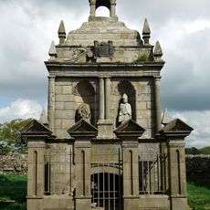
Hopper Mausoleum north-east of Church of St Andrew
3.5 km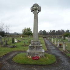
Shotley Low Quarter War Memorial
1.4 km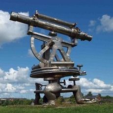
Terris Novalis
5.7 km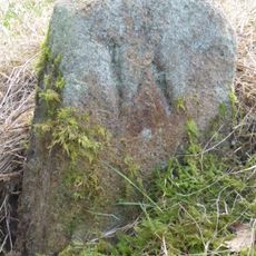
Boundary Stone About 500 Metres North East Of Shotley Spa
4.9 km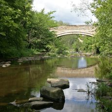
Shotley Bridge
4.1 km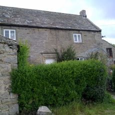
Crooked Oak Farmhouse
2.1 km
Former Lead Mine Reservoir About 100 Metres East Of Dean Howl Farm
3.6 km
Grange Farmhouse And Gin Gang
1.8 km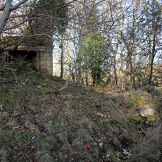
Former Lead Mine Circa 300 Metres North East Of Dene Howl Farm
3.5 km
Milestone About 200 Metres East Of Rowley Cottage
4.5 km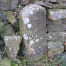
Boundary Stone 10 Metres North Of Road 700 Metres East Of Farmhouse
3.8 kmAvis
Vous avez visité ce lieu ? Touchez les étoiles pour le noter et partager votre expérience ou vos photos avec la communauté ! Essayez maintenant ! Vous pouvez annuler à tout moment.
Trouvez des trésors cachés à chaque coin de rue !
Des petits cafés pittoresques aux points de vue planqués, fuyez la foule et dénichez les lieux qui vous ressemblent vraiment. Notre app vous facilite la vie : recherche vocale, filtres malins, itinéraires optimisés et bons plans partagés par des voyageurs du monde entier. Téléchargez vite pour vivre l'aventure en version mobile !

Une approche inédite de la découverte touristique❞
— Le Figaro
Tous les lieux qui valent la peine d'être explorés❞
— France Info
Une excursion sur mesure en quelques clics❞
— 20 Minutes