
Hydrant And Trough 15 Metres West Of Wheatsheaf Public House
Hydrant And Trough 15 Metres West Of Wheatsheaf Public House, fire hydrant in Corbridge, Northumberland, UK
Emplacement : Corbridge
Coordonnées GPS : 54.97574,-2.02082
Dernière mise à jour : 29 mars 2025 à 16:17
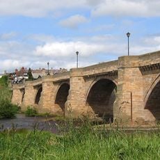
Corbridge Bridge
413 m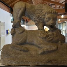
Corbridge Lion
638 m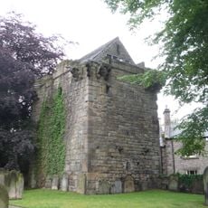
Corbridge Vicar's Pele
226 m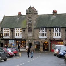
Town Hall With Shops
276 m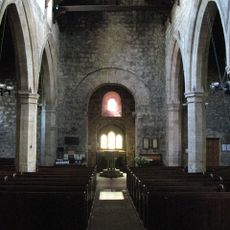
Church of St Andrew
154 m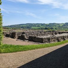
Corbridge Roman Site Museum
670 m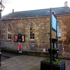
Market Place Chapel And Area Railings
193 m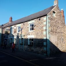
Black Bull Inn
244 m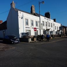
The Angel Inn
295 m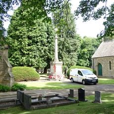
Corbridge War Memorial
789 m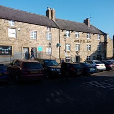
The Golden Lion Public House
261 m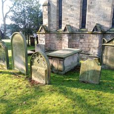
Wilson Tomb 3 Metres East Of Church Of St Andrew
164 m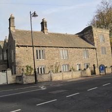
Low Hall
440 m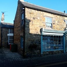
Norma James Dress Shop And Attached Cottage To Rear
261 m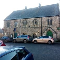
Corbridge Library
260 m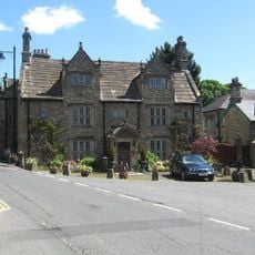
Monksholme
470 m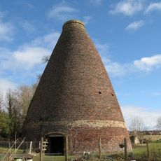
Walkers Pottery West Bottle Kiln
796 m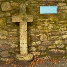
Old Market Cross Set Against Churchyard Wall 2 Metres East Of Vicars Pele
182 m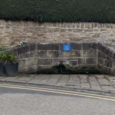
Hydrants And Trough At Junction With Orchard Crescent
390 m
Churchyard Wall With Hearse House And Entrance Gateway
150 m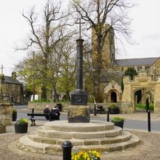
Corbridge Market Cross
198 m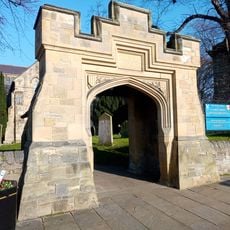
Lych Gate to Churchyard
181 m
9, Market Place
216 m
Heron House
204 m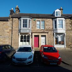
14,16, Hill Street
215 m
4-6, Watling Street
53 m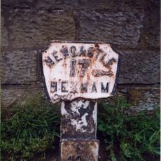
Milepost, approach on S side of bridge
513 m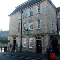
Lloyds Bank
293 mAvis
Vous avez visité ce lieu ? Touchez les étoiles pour le noter et partager votre expérience ou vos photos avec la communauté ! Essayez maintenant ! Vous pouvez annuler à tout moment.
Trouvez des trésors cachés à chaque coin de rue !
Des petits cafés pittoresques aux points de vue planqués, fuyez la foule et dénichez les lieux qui vous ressemblent vraiment. Notre app vous facilite la vie : recherche vocale, filtres malins, itinéraires optimisés et bons plans partagés par des voyageurs du monde entier. Téléchargez vite pour vivre l'aventure en version mobile !

Une approche inédite de la découverte touristique❞
— Le Figaro
Tous les lieux qui valent la peine d'être explorés❞
— France Info
Une excursion sur mesure en quelques clics❞
— 20 Minutes