
Wall Along East Side Of Field Row Between Ambrose Place And Shelley Road
Wall Along East Side Of Field Row Between Ambrose Place And Shelley Road, wall in Worthing, West Sussex, UK
Emplacement : Worthing
Coordonnées GPS : 50.81167,-0.37252
Dernière mise à jour : 19 mars 2025 à 01:44
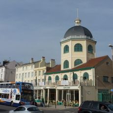
Dome Cinema
367 m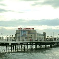
Worthing Pier
308 m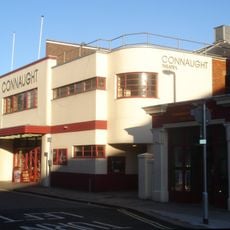
Connaught Theatre
262 m
Worthing Museum and Art Gallery
330 m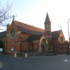
St Mary of the Angels
377 m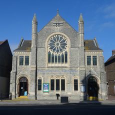
Worthing Tabernacle
361 m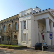
St Paul's Church, Worthing
242 m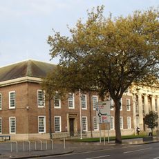
Worthing Town Hall including Assembly Hall and Worthing Room
337 m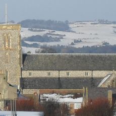
Christ Church, Worthing
126 m
Thieves Kitchen
245 m
The Worthing Lido
317 m
Holy Trinity Church
425 m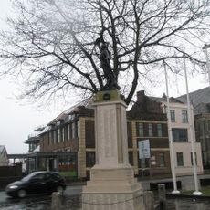
Worthing War Memorial
382 m
Hare And Hounds Public House
54 m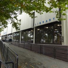
Worthing Library
266 m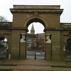
Lodges And Gateway To Park Crescent
442 m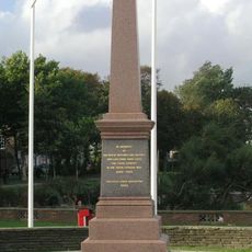
Worthing Boer War Memorial
437 m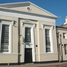
Bedford Hall
246 m
Christ Church School
116 m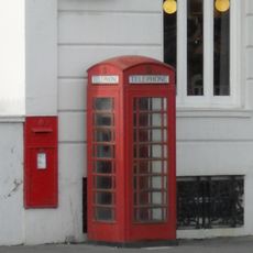
K6 Telephone Kiosk, The Steyne
397 m
Humphrys Almshouses
148 m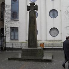
St Paul's War Memorial, Worthing
258 m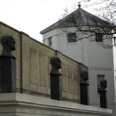
That Part Of The Montague Shopping Centre Which Is The Desert Quartet Sculptures With Supporting Loggia Alexander Terrace
114 m
52, 52A And 52B, Richmond Road
327 m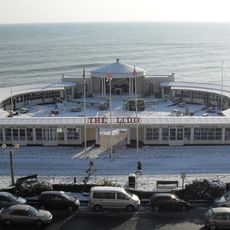
The Lido
299 m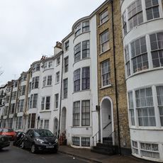
8-14, Bedford Row
272 m
44, High Street
391 m
Numbers 1-14 Including Sections Of Railings Along The Front
215 mAvis
Vous avez visité ce lieu ? Touchez les étoiles pour le noter et partager votre expérience ou vos photos avec la communauté ! Essayez maintenant ! Vous pouvez annuler à tout moment.
Trouvez des trésors cachés à chaque coin de rue !
Des petits cafés pittoresques aux points de vue planqués, fuyez la foule et dénichez les lieux qui vous ressemblent vraiment. Notre app vous facilite la vie : recherche vocale, filtres malins, itinéraires optimisés et bons plans partagés par des voyageurs du monde entier. Téléchargez vite pour vivre l'aventure en version mobile !

Une approche inédite de la découverte touristique❞
— Le Figaro
Tous les lieux qui valent la peine d'être explorés❞
— France Info
Une excursion sur mesure en quelques clics❞
— 20 Minutes