
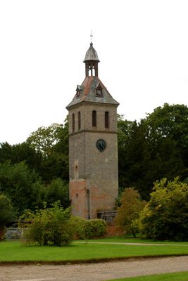
Water Tower About 40 Metres West Of The Stables
Water Tower About 40 Metres West Of The Stables, water tower in Thornham Magna, Mid Suffolk, Suffolk, UK
Emplacement : Thornham Magna
Coordonnées GPS : 52.30423,1.08214
Dernière mise à jour : 3 avril 2025 à 05:50
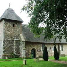
St Mary's Church
1.1 km
Mellis Common
2.5 km
Major Farm Meadow
1.8 km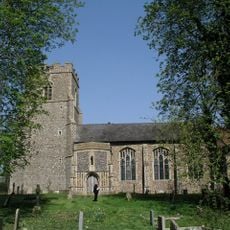
Church of St Andrew
2.6 km
Church of St Mary the Virgin
2.6 km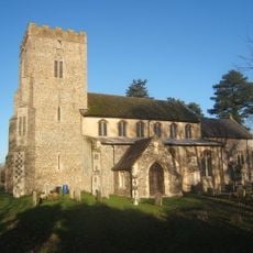
Church of St Mary
2.8 km
Church of St Mary
2.6 km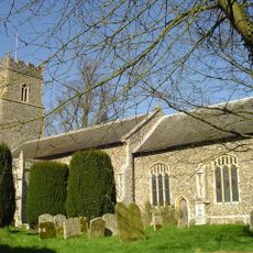
Church of St Mary Magdalene, Thornham Magna
418 m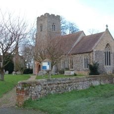
Church of All Saints
1.9 km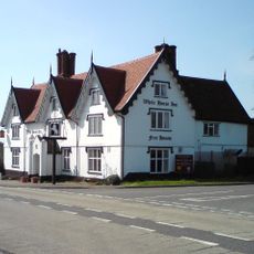
White Horse Inn
1.4 km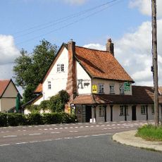
The Bull Inn
1.5 km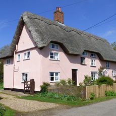
Carters Cottage Carters Farm
857 m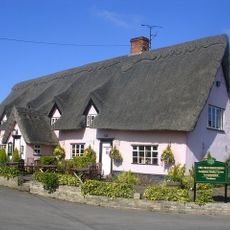
The Four Horseshoes Public House
1.1 km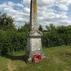
Stoke Ash War Memorial
1.9 km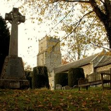
Thornhams War Memorial
458 m
198, The Street
867 m
212 And 213, Bull Road
1.2 km
Eastwick Farmhouse
2.1 km
Allen's Farmhouse
2.7 km
Bullocks Farm House
2.6 km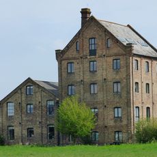
The Granary
2.7 km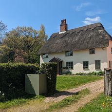
Lambs Farmhouse
735 m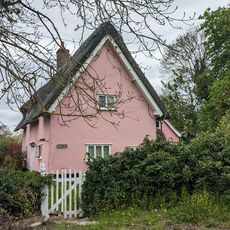
71, Ipswich Road
2.7 km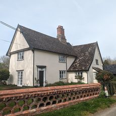
Ivy House Farmhouse
2.5 km
Yaxley Manor House
2.7 km
Valley Farm House
2.5 km
Hall Farm House
2.6 km
Chandos Farmhouse
1.2 kmAvis
Vous avez visité ce lieu ? Touchez les étoiles pour le noter et partager votre expérience ou vos photos avec la communauté ! Essayez maintenant ! Vous pouvez annuler à tout moment.
Trouvez des trésors cachés à chaque coin de rue !
Des petits cafés pittoresques aux points de vue planqués, fuyez la foule et dénichez les lieux qui vous ressemblent vraiment. Notre app vous facilite la vie : recherche vocale, filtres malins, itinéraires optimisés et bons plans partagés par des voyageurs du monde entier. Téléchargez vite pour vivre l'aventure en version mobile !

Une approche inédite de la découverte touristique❞
— Le Figaro
Tous les lieux qui valent la peine d'être explorés❞
— France Info
Une excursion sur mesure en quelques clics❞
— 20 Minutes