Feldwicks, building in Reigate and Banstead, Surrey, UK
Emplacement : Reigate and Banstead
Coordonnées GPS : 51.26293,-0.15152
Dernière mise à jour : 26 octobre 2025 à 01:02
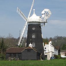
Wray Common Mill, Reigate
3 km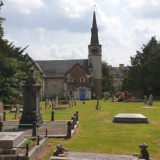
St Andrew's Church
1.6 km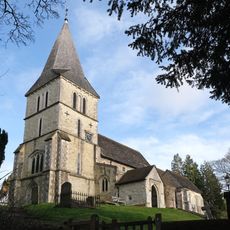
Church of St Katharine, Merstham
644 m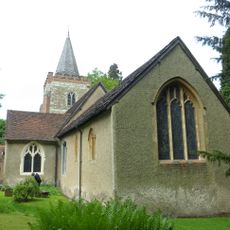
Church of St Peter and St Paul
2.9 km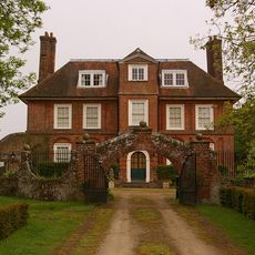
Pendell House
2.7 km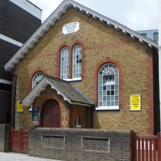
Baptist Chapel
2.8 km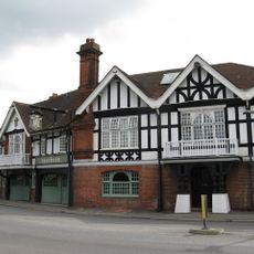
The Feathers Hotel
222 m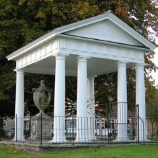
Gatton Town Hall
1.6 km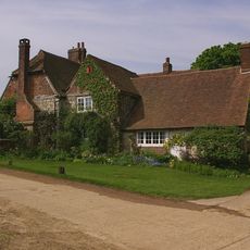
Tollsworth Manor House
2.1 km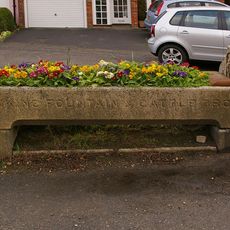
Drinking Fountain And Cattle Trough To East Of Nos 27 And 29
200 m
The Manor House
2.9 km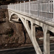
Reigate Hill Footbridge
3 km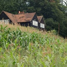
Hoath Farm House
1.4 km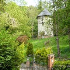
Dovecot In Grounds To North Of Wellhead
748 m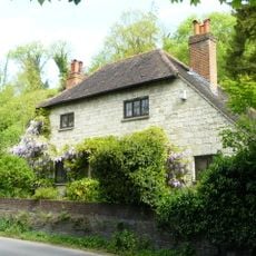
Wellhead
726 m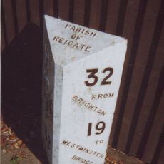
Milepost, Redhill, London Road; opp. Ringwood Ave
1.6 km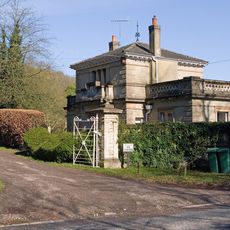
West Lodge With Walls, Piers And Gates
2.6 km
40-44, High Street
3.1 km
North Lodge, Including Fence And Gate
1.4 km
Walls To The Manor House
2.9 km
Viaduct
1.5 km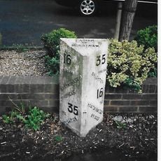
Milepost, Brighton Road, Merstham, 150m N jcn Church Lane
3.1 km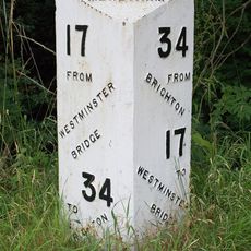
Milepost, Merstham, London Road North, opp. Harpsoar Lane; opp. Harps Oak Lane
1.4 km
South Merstham War Memorial
714 m
Merstham War Memorial
58 m
Reigate Hill
2.9 km
Point de vue panoramique
1.7 km
Point de vue panoramique
1.4 kmAvis
Vous avez visité ce lieu ? Touchez les étoiles pour le noter et partager votre expérience ou vos photos avec la communauté ! Essayez maintenant ! Vous pouvez annuler à tout moment.
Trouvez des trésors cachés à chaque coin de rue !
Des petits cafés pittoresques aux points de vue planqués, fuyez la foule et dénichez les lieux qui vous ressemblent vraiment. Notre app vous facilite la vie : recherche vocale, filtres malins, itinéraires optimisés et bons plans partagés par des voyageurs du monde entier. Téléchargez vite pour vivre l'aventure en version mobile !

Une approche inédite de la découverte touristique❞
— Le Figaro
Tous les lieux qui valent la peine d'être explorés❞
— France Info
Une excursion sur mesure en quelques clics❞
— 20 Minutes