
Druids, building in Puttenham, Guildford, Surrey, UK
Emplacement : Puttenham
Coordonnées GPS : 51.20439,-0.69390
Dernière mise à jour : 8 avril 2025 à 02:07
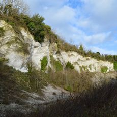
Seale Chalk Pit
2.8 km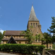
Church of St Mary
2.9 km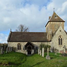
Church of St Laurence
2.6 km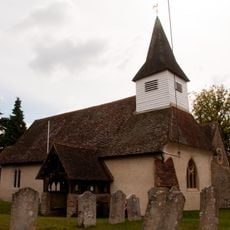
Church of St James
2.6 km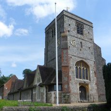
Church of St John the Baptist
2.8 km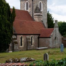
Church of St Nicholas
2.8 km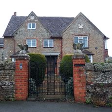
Rodsall Manor House
707 m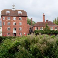
Elstead Mill
2.2 km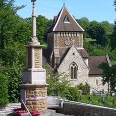
Seale War Memorial
2.6 km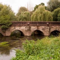
Elstead Bridge
2.2 km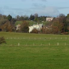
Puttenham Priory
2.8 km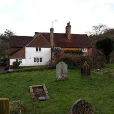
The Lyttons
2.6 km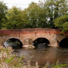
Somerset Bridge
2.1 km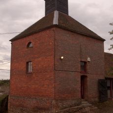
Dovecot And Granary To South West Of Home Farm Courtyard
2.7 km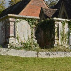
Chest Tomb 12 Yards North Of Tower Of Church Of St John The Baptist
2.8 km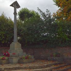
Puttenham War Memorial
2.8 km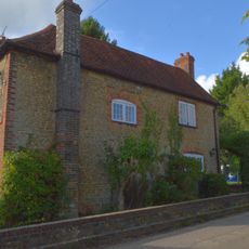
The Old School House
2.7 km
Firbank
2.5 km
United Reformed Church and Attached Graveyard Wall with Gatepiers and Railings
2.3 km
British Legion Clubhouse
2.3 km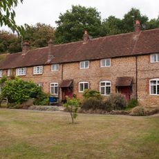
Home Farm Cottages With Stables To Left And Buildings To East
2.7 km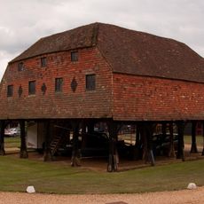
Granary At Home Farm
2.7 km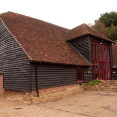
Barn To North West Corner Of Home Farm Courtyard
2.6 km
Chest Tomb 10 Yards North Of Tower Of Church Of St John The Baptist
2.8 km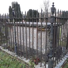
Paine Chest Tomb 6 Yards South West Of Corner Of Church Of St Laurence
2.6 km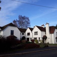
The Gables
2.7 km
Winters Farm Studio And Barn
2.6 km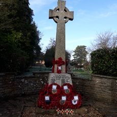
Elstead War Memorial
2.5 kmAvis
Vous avez visité ce lieu ? Touchez les étoiles pour le noter et partager votre expérience ou vos photos avec la communauté ! Essayez maintenant ! Vous pouvez annuler à tout moment.
Trouvez des trésors cachés à chaque coin de rue !
Des petits cafés pittoresques aux points de vue planqués, fuyez la foule et dénichez les lieux qui vous ressemblent vraiment. Notre app vous facilite la vie : recherche vocale, filtres malins, itinéraires optimisés et bons plans partagés par des voyageurs du monde entier. Téléchargez vite pour vivre l'aventure en version mobile !

Une approche inédite de la découverte touristique❞
— Le Figaro
Tous les lieux qui valent la peine d'être explorés❞
— France Info
Une excursion sur mesure en quelques clics❞
— 20 Minutes