
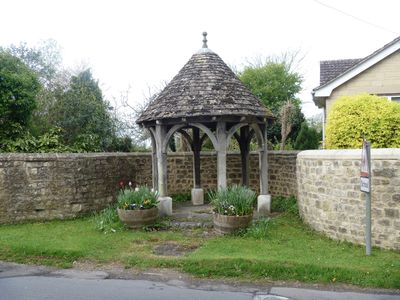
Well House And Containing Wall, building in Hilmarton, Wiltshire, UK
Emplacement : Hilmarton
Coordonnées GPS : 51.47604,-1.97182
Dernière mise à jour : 3 mars 2025 à 03:33
Bradenstoke Priory
4.6 km
REME Museum Car Park
3.2 km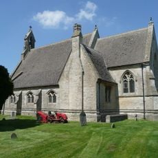
Church of St Mary the Virgin
4.6 km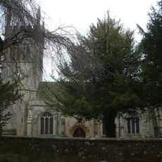
Church of St Laurence
122 m
Church of St Swithin
3.8 km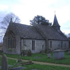
Church of St Giles
4.5 km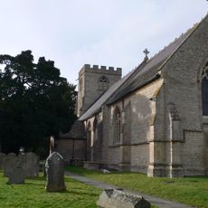
Church of St Michael and All Angels
3.5 km
33-35, Church Road
153 m
39 and 40, Church Road
147 m
41-44, Church Road
135 m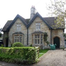
30 and 31, Church Road
83 m
Lyneham Library
3.5 km
Longridge Cottage
1.7 km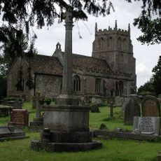
Bremhill War Memorial
4.6 km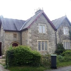
25 & 26, Compton Road
32 m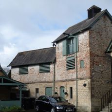
Brewery To Rear Of The Duke Inn
188 m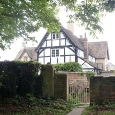
Manor Farmhouse
89 m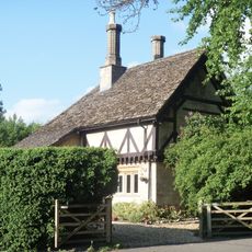
Tudor Lodge
4.2 km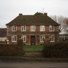
Greenway Farmhouse
4.5 km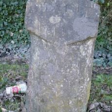
Milestone Opposite No 85 (Post Office)
4.2 km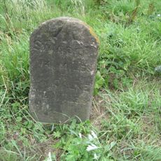
Milestone On East Side By Drive To Lower Penn Cottages
1.1 km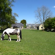
Bradenstoke Abbey Farmhouse
4.5 km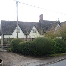
The Old Forge
63 m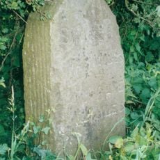
Milestone About 200 Metres North Of Hilmarton Bridge
546 m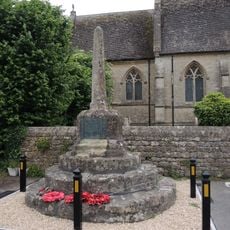
Market Cross
4.6 km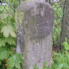
Milestone Opposite No 23 Calne Road
3.4 km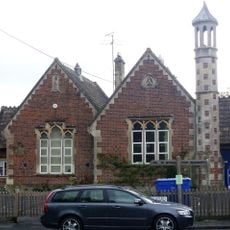
Primary School
64 m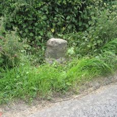
Milestone, Calne Road, S of new roundabout, between jct with Porte Marsh Industrial Estate and lane to High Penn Farm
3 kmAvis
Vous avez visité ce lieu ? Touchez les étoiles pour le noter et partager votre expérience ou vos photos avec la communauté ! Essayez maintenant ! Vous pouvez annuler à tout moment.
Trouvez des trésors cachés à chaque coin de rue !
Des petits cafés pittoresques aux points de vue planqués, fuyez la foule et dénichez les lieux qui vous ressemblent vraiment. Notre app vous facilite la vie : recherche vocale, filtres malins, itinéraires optimisés et bons plans partagés par des voyageurs du monde entier. Téléchargez vite pour vivre l'aventure en version mobile !

Une approche inédite de la découverte touristique❞
— Le Figaro
Tous les lieux qui valent la peine d'être explorés❞
— France Info
Une excursion sur mesure en quelques clics❞
— 20 Minutes