
Hilmarton, village britannique
Emplacement : Wiltshire
Coordonnées GPS : 51.47600,-1.97200
Dernière mise à jour : 11 mars 2025 à 09:12

Church of St Peter
5.7 km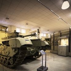
REME Museum Car Park
3.2 km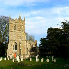
Church of All Saints
5.7 km
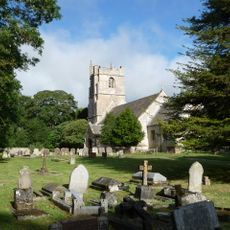
Church of St Laurence
120 m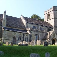
Church of St Swithin
3.8 km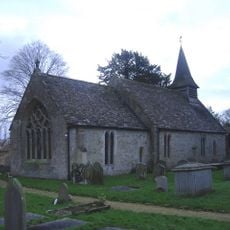
Church of St Giles
4.6 km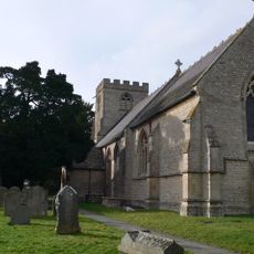
Church of St Michael and All Angels
3.5 km
33-35, Church Road
166 m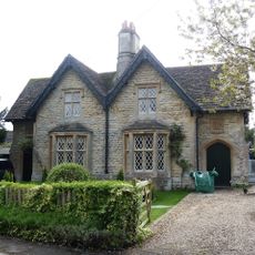
30 and 31, Church Road
93 m
41-44, Church Road
146 m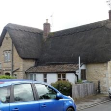
39 and 40, Church Road
159 m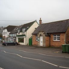
Lyneham Library
3.5 km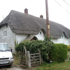
Longridge Cottage
1.7 km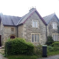
25 & 26, Compton Road
41 m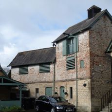
Brewery To Rear Of The Duke Inn
180 m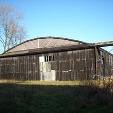
Two Former Hangars On North Side Of Former Airfield
5.1 km
Manor Farmhouse
79 m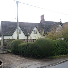
The Old Forge
65 m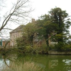
Queen's Court Farmhouse
4.7 km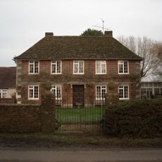
Greenway Farmhouse
4.5 km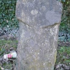
Milestone Opposite No 85 (Post Office)
4.2 km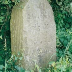
Milestone About 200 Metres North Of Hilmarton Bridge
545 m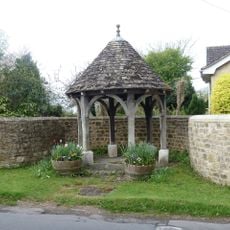
Well House And Containing Wall
13 m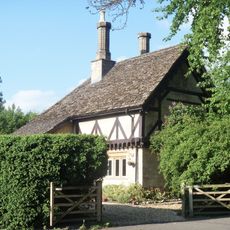
Tudor Lodge
4.1 km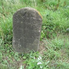
Milestone On East Side By Drive To Lower Penn Cottages
1.1 km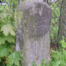
Milestone Opposite No 23 Calne Road
3.4 km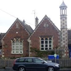
Primary School
73 m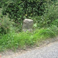
Milestone, Calne Road, S of new roundabout, between jct with Porte Marsh Industrial Estate and lane to High Penn Farm
3 kmAvis
Vous avez visité ce lieu ? Touchez les étoiles pour le noter et partager votre expérience ou vos photos avec la communauté ! Essayez maintenant ! Vous pouvez annuler à tout moment.
Trouvez des trésors cachés à chaque coin de rue !
Des petits cafés pittoresques aux points de vue planqués, fuyez la foule et dénichez les lieux qui vous ressemblent vraiment. Notre app vous facilite la vie : recherche vocale, filtres malins, itinéraires optimisés et bons plans partagés par des voyageurs du monde entier. Téléchargez vite pour vivre l'aventure en version mobile !

Une approche inédite de la découverte touristique❞
— Le Figaro
Tous les lieux qui valent la peine d'être explorés❞
— France Info
Une excursion sur mesure en quelques clics❞
— 20 Minutes