
King's Thorn, village au Royaume-Uni
Emplacement : Herefordshire
Coordonnées GPS : 51.98400,-2.72800
Dernière mise à jour : 13 mars 2025 à 06:59
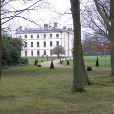
The Mynde
3.8 km
Aconbury Camp
1.1 km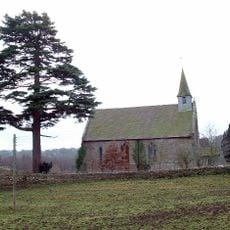
Former Church of St John the Baptist
2.2 km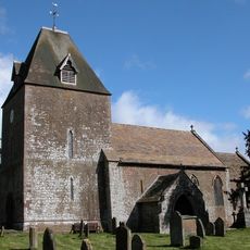
Church of St David
2.1 km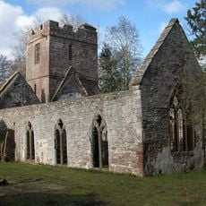
Church of St John the Baptist
3.8 km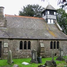
Church of St Junabius
3.9 km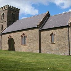
Church of St Mary
2.5 km
Christ Church
3.9 km
Church of Ss Mary and Thomas A Becket
1.5 km
Church of St Michael
2.1 km
Church of St David
2.9 km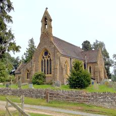
Church of St Mary
1.3 km
Kings Thorn Dragon
1.2 km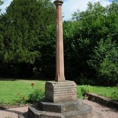
Llanwarne War Memorial
3.8 km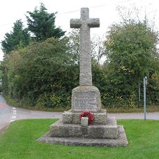
Much Dewchurch War Memorial
2.2 km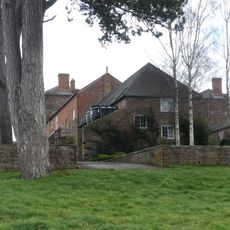
Outbuilding attached to north west of The Mynde
3.8 km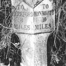
Milepost At Ngr So 495279
4.1 km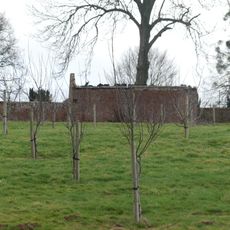
Kitchen garden walls to north of The Mynde
3.8 km
Stables and outbuildings attached to south-west of The Mynde
3.8 km
Milestone At Ngr So 512298
2.4 km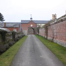
Garden walls to south of The Mynde
3.8 km
Churchyard cross in St David's churchyard
2.1 km
Ha ha about 30 yards to east of The Mynde
3.8 km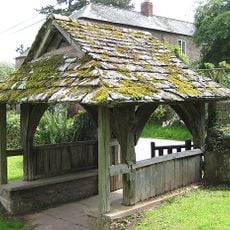
Lych Gate About 10 Yards South Of The Church Of St John The Baptist
3.8 km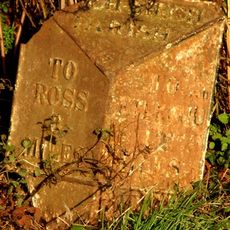
Milepost, SE Wormelow Tump
2.3 km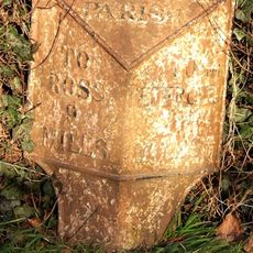
Milepost, Church View
2 km
Milestone, Portway; N of village
3.6 km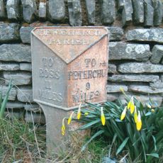
Milepost, Church View, The Rhydd (ruined property)
3.4 kmAvis
Vous avez visité ce lieu ? Touchez les étoiles pour le noter et partager votre expérience ou vos photos avec la communauté ! Essayez maintenant ! Vous pouvez annuler à tout moment.
Trouvez des trésors cachés à chaque coin de rue !
Des petits cafés pittoresques aux points de vue planqués, fuyez la foule et dénichez les lieux qui vous ressemblent vraiment. Notre app vous facilite la vie : recherche vocale, filtres malins, itinéraires optimisés et bons plans partagés par des voyageurs du monde entier. Téléchargez vite pour vivre l'aventure en version mobile !

Une approche inédite de la découverte touristique❞
— Le Figaro
Tous les lieux qui valent la peine d'être explorés❞
— France Info
Une excursion sur mesure en quelques clics❞
— 20 Minutes