
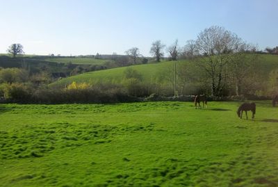
Promontory fort on Barrow Hill, hillfort in Somerset
Emplacement : Milborne Port
Coordonnées GPS : 50.98470,-2.47022
Dernière mise à jour : 3 mars 2025 à 17:51

Ven House
2.5 km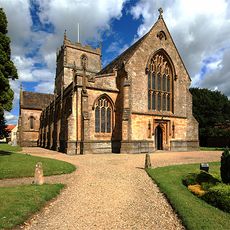
Church of St John the Evangelist, Milborne Port
2.1 km
Old St Cuthbert's Church, Oborne
3.3 km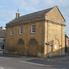
Town Hall
2.2 km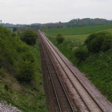
Laycock Railway Cutting
930 m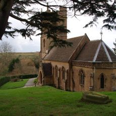
Church of St Andrew
4 km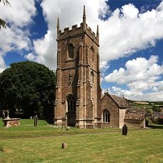
Church of St Peter and St Paul
2.5 km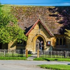
The Church Room
198 m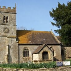
Parish Church of St Peter
4 km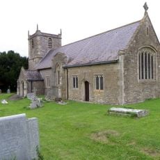
Church of St Mary Magdalene
2.3 km
Parish Church of All Saints
2.2 km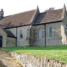
Parish Church of St Peter
3.5 km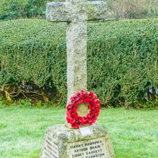
Corton Denham War Memorial
4 km
Parish Church of St Cuthbert
2.8 km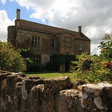
Front Boundary Wall, Piers And Gate, 15 Metres North Of Manor Farm House
2.5 km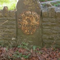
Milestone Set In Front Boundary Wall Of No.647 Main Road
2.5 km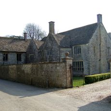
The Manor House And Attached Walls North And South
3.9 km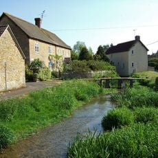
Footbridge With Ford Alongside, 20 Metres South Of Road Bridge
1.5 km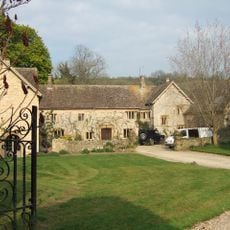
The Manor House
2.1 km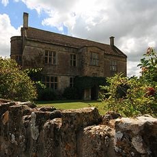
Manor Farm House
2.5 km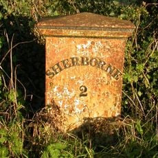
Milepost, 150m S of Red Post Junction
3.2 km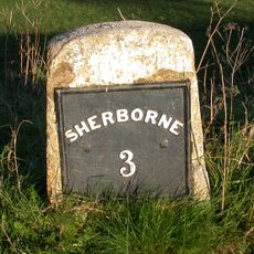
Milestone, Poyntington Down
3.3 km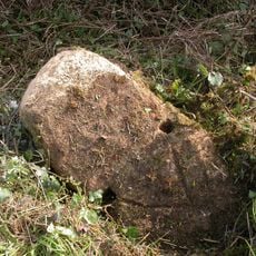
Milestone, NE of Charlton
3.8 km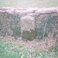
Milestone, SW of Henstridge, nr Toomer Farm
3.7 km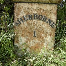
Milepost, opp. turning to Sherborne Castle
3.7 km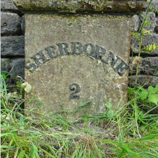
Milepost, E of Sherborne
2.5 km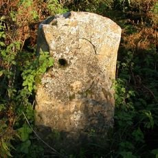
Milestone, E of Corton Denham
3.5 km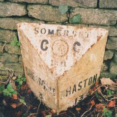
Milepost, London Road, E side of village
2.3 kmAvis
Vous avez visité ce lieu ? Touchez les étoiles pour le noter et partager votre expérience ou vos photos avec la communauté ! Essayez maintenant ! Vous pouvez annuler à tout moment.
Trouvez des trésors cachés à chaque coin de rue !
Des petits cafés pittoresques aux points de vue planqués, fuyez la foule et dénichez les lieux qui vous ressemblent vraiment. Notre app vous facilite la vie : recherche vocale, filtres malins, itinéraires optimisés et bons plans partagés par des voyageurs du monde entier. Téléchargez vite pour vivre l'aventure en version mobile !

Une approche inédite de la découverte touristique❞
— Le Figaro
Tous les lieux qui valent la peine d'être explorés❞
— France Info
Une excursion sur mesure en quelques clics❞
— 20 Minutes