
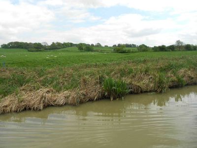
The medieval settlement at Wormleighton, archaeological site in Wormleighton, Stratford-on-Avon, England, UK
Emplacement : Wormleighton
Coordonnées GPS : 52.18390,-1.35136
Dernière mise à jour : 3 mars 2025 à 02:36
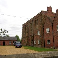
Wormleighton Manor
581 m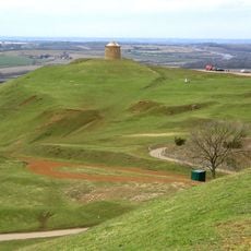
Burton Dassett Hills
5.3 km
Farnborough Hall
5.4 km
Ladbroke Hall
5.4 km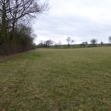
Boddington Meadow
5 km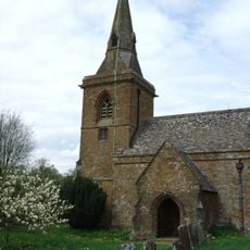
Church of St Botolph, Farnborough, Warks
4.7 km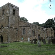
Church of All Saints
5.3 km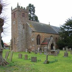
Church of St Mary
3.4 km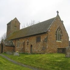
Church of St James the Great
4.3 km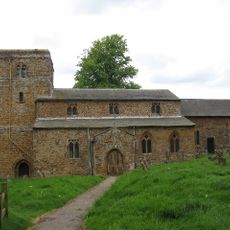
Church of St Peter
405 m
Church of St Peter and St Clare
3.4 km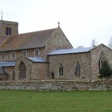
Church of St John the Baptist
3.9 km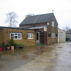
Bygones Museum
4.4 km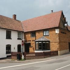
Merrie Lion Public House
3.2 km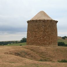
Beacon Tower
5.4 km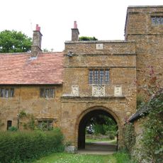
Tower Cottage Wormleighton Manor Gatehouse
561 m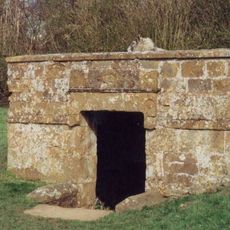
Holy Well
5.3 km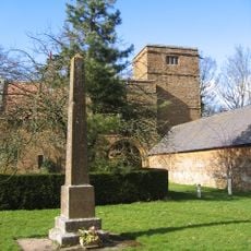
Wormleighton War Memorial
588 m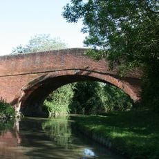
Oxford Canal, Canal Bridge Number 122
3.8 km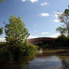
Oxford Canal Bridge Number 125
2.2 km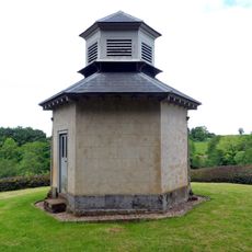
The Game Larder
5 km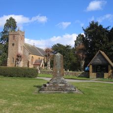
Priors Hardwick War Memorial
3.3 km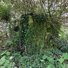
Pillbox (Type FW3/26), On the W bank of the Oxford Canal, WNW of Stoneton Moat Farm, near Priors Hardwick
1.5 km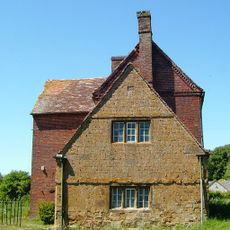
Stockwell Farmhouse
4.4 km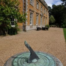
Farnborough Hall Sundial Approximately 4 Metres West
4.9 km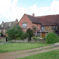
Little Fosse
5.3 km
The Croft
3.4 km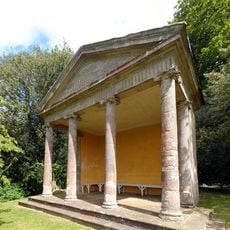
The Ionic Temple
5.3 kmAvis
Vous avez visité ce lieu ? Touchez les étoiles pour le noter et partager votre expérience ou vos photos avec la communauté ! Essayez maintenant ! Vous pouvez annuler à tout moment.
Trouvez des trésors cachés à chaque coin de rue !
Des petits cafés pittoresques aux points de vue planqués, fuyez la foule et dénichez les lieux qui vous ressemblent vraiment. Notre app vous facilite la vie : recherche vocale, filtres malins, itinéraires optimisés et bons plans partagés par des voyageurs du monde entier. Téléchargez vite pour vivre l'aventure en version mobile !

Une approche inédite de la découverte touristique❞
— Le Figaro
Tous les lieux qui valent la peine d'être explorés❞
— France Info
Une excursion sur mesure en quelques clics❞
— 20 Minutes