
Whitfield's Tump: a long barrow on Minchinhampton Common
Whitfield's Tump: a long barrow on Minchinhampton Common, archaeological site in Minchinhampton, Stroud, England, UK
Emplacement : Minchinhampton
Coordonnées GPS : 51.71390,-2.21286
Dernière mise à jour : 6 avril 2025 à 18:54

Woodchester Roman Villa
2 km
Minchinhampton Common
676 m
Rodborough Common
1.9 km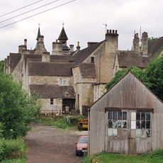
Convent Of Poor Clares
1.5 km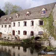
Egypt Mill
1.9 km
Neu-Lindsey Nature Reserve
876 m
Church of the Holy Trinity
661 m
Church of Our Lady of the Annunciation
1.4 km
Church of St Mary
1.7 km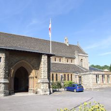
Church of St George
2.1 km
Church of the Holy Trinity
2 km
Church of the Holy Trinity
1.3 km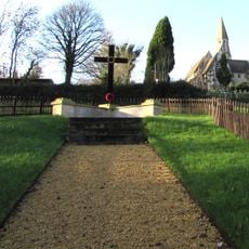
Inchbrook War Memorial
1.3 km
Bannut Tree Chapel
2.1 km
Nailsworth War Memorial Cross
2.2 km
Nailsworth War Memorial Clock Tower
2 km
4, George Street
2 km
Minchinhampton War Memorial
2.1 km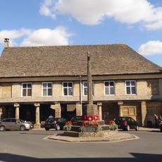
Market House
2.1 km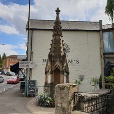
The Fountain
2 km
The Mount
2.1 km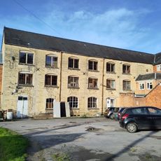
Stone Built Block At Days Mill To Rear Of Fountain Street Frontage
2.1 km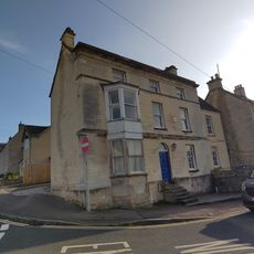
The Surgery
2.2 km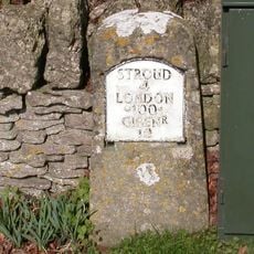
Milestone
1.5 km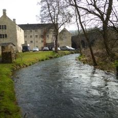
Main Mill Building At Bourne Mills
1.9 km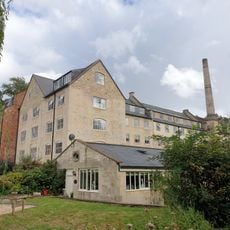
Dunkirk Mill
1.5 km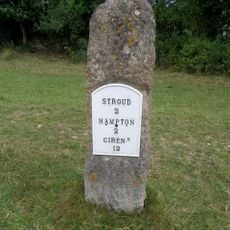
Milestone, Cirencester Road; Rodborough Common
1.7 km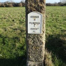
Milestone, Cirencester Road, Minchinhampton Common
111 mAvis
Vous avez visité ce lieu ? Touchez les étoiles pour le noter et partager votre expérience ou vos photos avec la communauté ! Essayez maintenant ! Vous pouvez annuler à tout moment.
Trouvez des trésors cachés à chaque coin de rue !
Des petits cafés pittoresques aux points de vue planqués, fuyez la foule et dénichez les lieux qui vous ressemblent vraiment. Notre app vous facilite la vie : recherche vocale, filtres malins, itinéraires optimisés et bons plans partagés par des voyageurs du monde entier. Téléchargez vite pour vivre l'aventure en version mobile !

Une approche inédite de la découverte touristique❞
— Le Figaro
Tous les lieux qui valent la peine d'être explorés❞
— France Info
Une excursion sur mesure en quelques clics❞
— 20 Minutes