
Devil's Ditch, section 725yds long W of Ounces Barn, archaeological site in Boxgrove, Chichester, England, UK
Emplacement : Boxgrove
Coordonnées GPS : 50.86850,-0.69916
Dernière mise à jour : 17 mars 2025 à 07:49

Goodwood House
3 km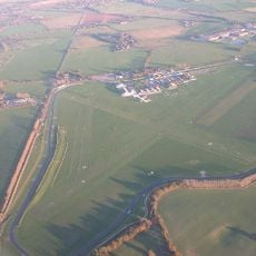
Circuit de Goodwood
4.3 km
Goodwood plant
3.6 km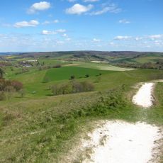
Trundle
4.7 km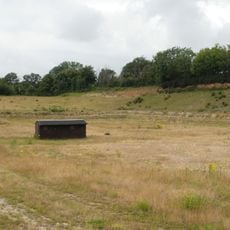
Eartham Pit
707 m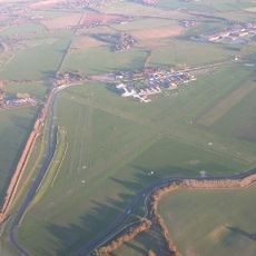
Chichester/Goodwood Airport
4.3 km
Tangmere Military Aviation Museum
2.7 km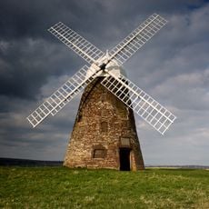
Halnaker Windmill
1.2 km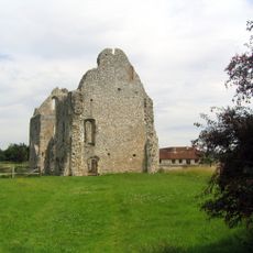
Prieuré de Boxgrove
1.2 km
Aldingbourne House
1.7 km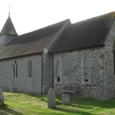
St George's Church
4.4 km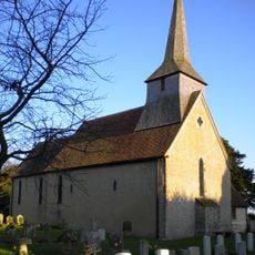
St Andrew's Church, Tangmere
2.7 km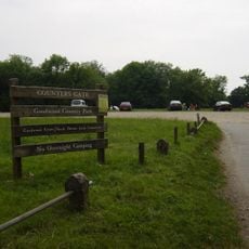
Goodwood Country Park
3.5 km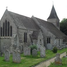
The Parish Church of St Mary
4.5 km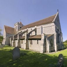
The Priory Church of St Mary and St Blaize, Bloxworth
1.3 km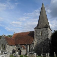
The Parish Church of St Andrew
3.8 km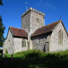
The Parish Church of All Saints
4.9 km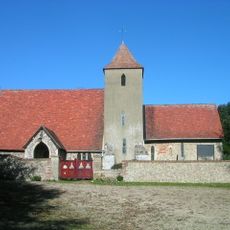
The Parish Church of St Peter
4.2 km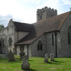
The Parish Church of St Mary
3.1 km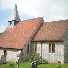
The Parish Church of St Margaret
2.4 km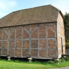
Granary/Outbuilding at Manor Farm to the north west of the Farmhouse
4.4 km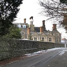
Slindon House
4.4 km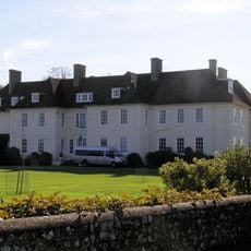
Eartham House
2.4 km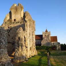
Boxgrove Priory
1.3 km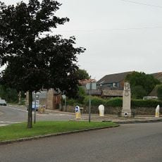
Eastergate War Memorial
4 km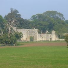
Halnaker House
851 m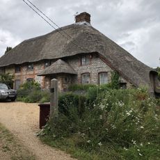
The Thatch
4.9 km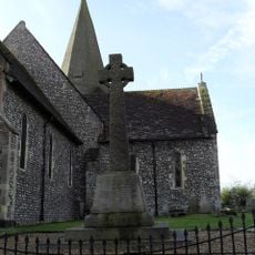
Oving War Memorial
3.8 kmAvis
Vous avez visité ce lieu ? Touchez les étoiles pour le noter et partager votre expérience ou vos photos avec la communauté ! Essayez maintenant ! Vous pouvez annuler à tout moment.
Trouvez des trésors cachés à chaque coin de rue !
Des petits cafés pittoresques aux points de vue planqués, fuyez la foule et dénichez les lieux qui vous ressemblent vraiment. Notre app vous facilite la vie : recherche vocale, filtres malins, itinéraires optimisés et bons plans partagés par des voyageurs du monde entier. Téléchargez vite pour vivre l'aventure en version mobile !

Une approche inédite de la découverte touristique❞
— Le Figaro
Tous les lieux qui valent la peine d'être explorés❞
— France Info
Une excursion sur mesure en quelques clics❞
— 20 Minutes