
Round barrow SW of Lower Farm, round barrow in Preston Candover, Basingstoke and Deane, England, UK
Emplacement : Preston Candover
Coordonnées GPS : 51.16460,-1.14152
Dernière mise à jour : 6 avril 2025 à 05:55
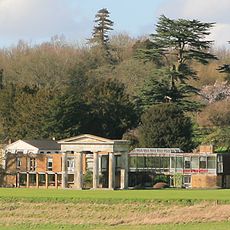
Stratton Park
5.9 km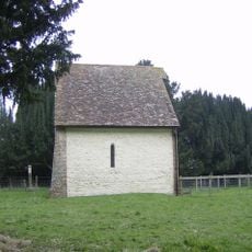
Old Church of St Mary the Virgin, Preston Candover
518 m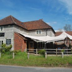
The Woolpack Inn
4.3 km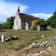
Church of All Saints
3.6 km
Church of St James
3.5 km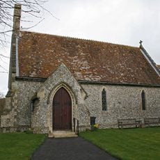
Church of St. James
4.2 km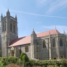
Church of St John the Evangelist
5.1 km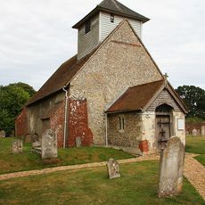
Church of All Saints
5.2 km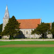
Church of St Peter
2.3 km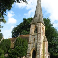
Church of St. Mary the Virgin
820 m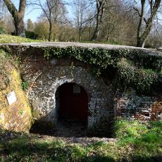
Remains Of The Church Of St.Nicholas
1.3 km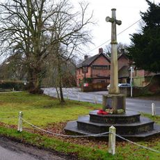
Preston Candover War Memorial
898 m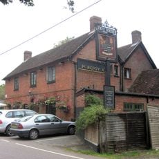
The Purefoy Arms Public House
847 m
Lt J. Stevens Memorial Shelter, Axford, Hampshire
2.5 km
43 And 42
6 km
Milestone On A30/A303 At Ngr 575 460
5.7 km
Old School House
6 km
Bramble And Homa Cottage
6 km
22-31
6 km
Ivy Cottage
1.2 km
46
6 km
35
6 km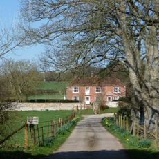
Manor Farmhouse
638 m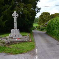
East Stratton War Memorial
6 km
47 And 48
6 km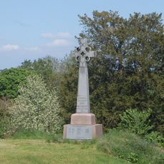
Northington War Memorial
5 km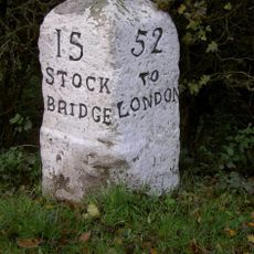
Milestone, Bramley Wood
5.7 km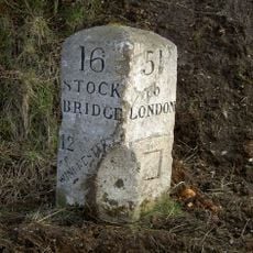
Milestone, Maidenthorn Lane
5.7 kmAvis
Vous avez visité ce lieu ? Touchez les étoiles pour le noter et partager votre expérience ou vos photos avec la communauté ! Essayez maintenant ! Vous pouvez annuler à tout moment.
Trouvez des trésors cachés à chaque coin de rue !
Des petits cafés pittoresques aux points de vue planqués, fuyez la foule et dénichez les lieux qui vous ressemblent vraiment. Notre app vous facilite la vie : recherche vocale, filtres malins, itinéraires optimisés et bons plans partagés par des voyageurs du monde entier. Téléchargez vite pour vivre l'aventure en version mobile !

Une approche inédite de la découverte touristique❞
— Le Figaro
Tous les lieux qui valent la peine d'être explorés❞
— France Info
Une excursion sur mesure en quelques clics❞
— 20 Minutes