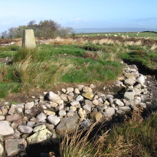
Shaw Cairn, bronzezeitlicher Cairn und ein Scheduled Monument auf dem Cobden Edge südlich von Mellor im Peak District in England
Emplacement : Stockport
Coordonnées GPS : 53.38209,-2.02149
Dernière mise à jour : 22 mars 2025 à 13:17
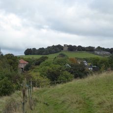
Mellor hill fort
1.7 km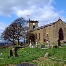
St. Thomas' Church, Mellor
1.7 km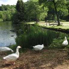
Roman Lakes Leisure Park
1.8 km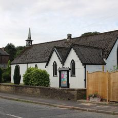
St Paul's Church
1.7 km
Fox Inn
857 m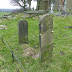
Stocks in graveyard of Church of St Thomas the Apostle
1.7 km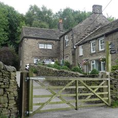
High Cliff Cottage
706 m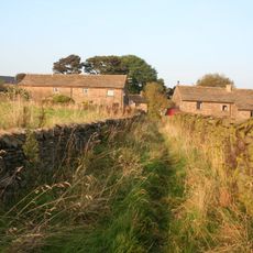
Three barns to Bower House Farm
1.4 km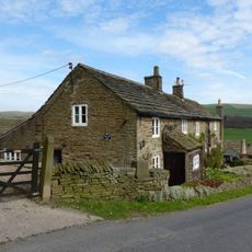
Carr Nook Farmhouse
1.8 km
Gilbodygate Farmhouse
894 m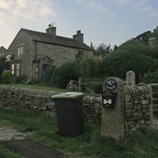
Fold House
1.4 km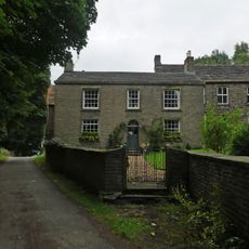
High Cliff Farmhouse
720 m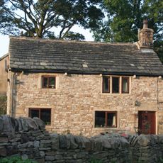
Bower House
1.4 km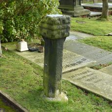
Remains of Saxon cross in graveyard of Church of St Thomas the Apostle
1.7 km
Hague Fold Farmhouse
1.3 km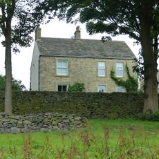
Farmhouse and attached farm buildings (occupied by D Stafford)
1.4 km
Rivelin
823 m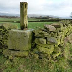
Cross Base
624 m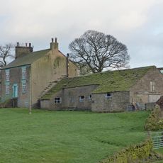
Longshaw Clough Farmhouse and adjoining farm building
1.2 km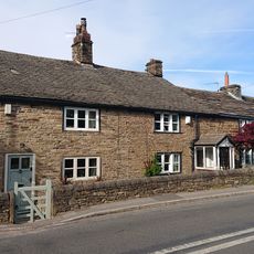
Oldstones
1.6 km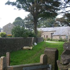
Barn at Whitle Farm (occupied by D Stafford)
1.4 km
Lower Hague Fold Farmhouse
1.3 km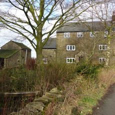
Tarden
1.1 km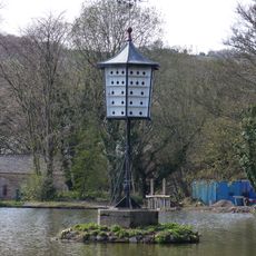
The Chinese Dovecot on island in lake to premises occupied by English Calico Limited
1.3 km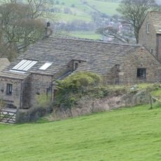
Farm Buildings To Briargrove Farm
1.8 km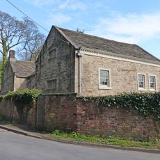
Block of cottages (belonging to English Calico Limited)
1.3 km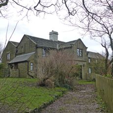
Eaves Knoll Farmhouse and attached farm building
1.5 km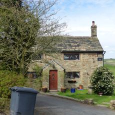
Briargrove Farm
1.8 kmAvis
Vous avez visité ce lieu ? Touchez les étoiles pour le noter et partager votre expérience ou vos photos avec la communauté ! Essayez maintenant ! Vous pouvez annuler à tout moment.
Trouvez des trésors cachés à chaque coin de rue !
Des petits cafés pittoresques aux points de vue planqués, fuyez la foule et dénichez les lieux qui vous ressemblent vraiment. Notre app vous facilite la vie : recherche vocale, filtres malins, itinéraires optimisés et bons plans partagés par des voyageurs du monde entier. Téléchargez vite pour vivre l'aventure en version mobile !

Une approche inédite de la découverte touristique❞
— Le Figaro
Tous les lieux qui valent la peine d'être explorés❞
— France Info
Une excursion sur mesure en quelques clics❞
— 20 Minutes
